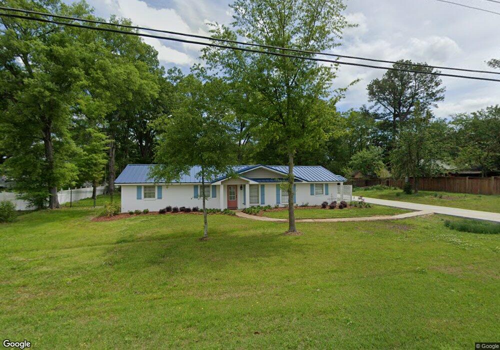
1126 S Eshman Ave West Point, MS 39773
Estimated Value: $165,000 - $260,000
3
Beds
--
Bath
2,535
Sq Ft
$84/Sq Ft
Est. Value
About This Home
This home is located at 1126 S Eshman Ave, West Point, MS 39773 and is currently estimated at $212,710, approximately $83 per square foot. 1126 S Eshman Ave is a home located in Clay County with nearby schools including East Side Elementary School, West Clay Elementary School, and Church Hill Elementary School.
Ownership History
Date
Name
Owned For
Owner Type
Purchase Details
Closed on
Sep 27, 2016
Sold by
Harrelson Kenneth D and Harrelson Janice J
Bought by
Spradling William J and Spradling Emily C
Current Estimated Value
Create a Home Valuation Report for This Property
The Home Valuation Report is an in-depth analysis detailing your home's value as well as a comparison with similar homes in the area
Purchase History
| Date | Buyer | Sale Price | Title Company |
|---|---|---|---|
| Spradling William J | -- | -- |
Source: Public Records
Tax History
| Year | Tax Paid | Tax Assessment Tax Assessment Total Assessment is a certain percentage of the fair market value that is determined by local assessors to be the total taxable value of land and additions on the property. | Land | Improvement |
|---|---|---|---|---|
| 2025 | $540 | $17,449 | $1,844 | $15,605 |
| 2024 | $540 | $17,449 | $1,844 | $15,605 |
| 2023 | $99 | $8,159 | $1,844 | $6,315 |
| 2022 | $36 | $8,159 | $1,844 | $6,315 |
| 2021 | $665 | $12,239 | $2,767 | $9,472 |
| 2020 | $665 | $12,239 | $2,767 | $9,472 |
| 2019 | $270 | $8,127 | $1,844 | $6,283 |
| 2018 | $252 | $8,127 | $1,844 | $6,283 |
| 2017 | $252 | $8,128 | $1,845 | $6,283 |
| 2016 | $221 | $7,792 | $1,509 | $6,283 |
| 2015 | $25 | $8,002 | $2,321 | $5,681 |
| 2014 | $25 | $8,002 | $2,321 | $5,681 |
| 2013 | $25 | $8,002 | $2,321 | $5,681 |
Source: Public Records
Map
Nearby Homes
- 389 Mapleview Rd
- 15 David St
- 264 Mapleview Rd
- 161 Mapleview Rd
- 405 S Eshman Ave
- 1046 E Brame Ave
- 44 Torbert Dr
- Lot 2 Waverly Rd
- Lot 6 Waverly Rd
- Lot 5 Waverly Rd
- Lot 3 Waverly Rd
- Lot 10 Waverly Rd
- Lot 8 Waverly Rd
- Lot 7 Waverly Rd
- Lot 9 Waverly Rd
- Lot 4 Waverly Rd
- Lot 11 Waverly Rd
- 472 S Eshman Ave
- 507 S Eshman Ave
- 329 Converse Dr
- 1110 S Eshman Ave
- 1153 Meadow Ct
- 1218 S Eshman Ave
- 1215 S Eshman Ave
- 1152 Meadow Ct
- 21 Meadow Ct
- 1236 S Eshman Ave
- 1235 S Eshman Ave
- 1228 S Eshman Ave
- 1148 Meadow Ct
- 1150 Meadow Ct
- 1149 Meadow Ct
- 1160 Meadow Ct
- 1162 Meadow Ct
- 1271 S Eshman Ave
- 1133 E Church Hill Rd
- 1213 Oak Dr
- 1210 Oak Dr
- 1230 Oak Dr
- 78 Waverly Rd
Your Personal Tour Guide
Ask me questions while you tour the home.