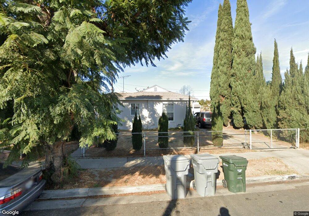
11269 Colyer Ave Lynwood, CA 90262
Estimated Value: $589,000 - $684,000
2
Beds
1
Bath
898
Sq Ft
$707/Sq Ft
Est. Value
About This Home
This home is located at 11269 Colyer Ave, Lynwood, CA 90262 and is currently estimated at $635,164, approximately $707 per square foot. 11269 Colyer Ave is a home located in Los Angeles County with nearby schools including Washington Elementary School, Hosler Middle School, and Lynwood High School.
Ownership History
Date
Name
Owned For
Owner Type
Purchase Details
Closed on
Aug 8, 2020
Sold by
Giron Cristina
Bought by
Giron Jeffrey S
Current Estimated Value
Purchase Details
Closed on
Apr 18, 2020
Sold by
Giron Jeffrey S
Bought by
Bonilla Mary
Purchase Details
Closed on
Apr 16, 2020
Sold by
Giorn Cristina
Bought by
Giron Jeffrey S
Purchase Details
Closed on
Nov 19, 2013
Sold by
Williams Gwendolyn J
Bought by
Giron Jeffrey S
Create a Home Valuation Report for This Property
The Home Valuation Report is an in-depth analysis detailing your home's value as well as a comparison with similar homes in the area
Home Values in the Area
Average Home Value in this Area
Purchase History
| Date | Buyer | Sale Price | Title Company |
|---|---|---|---|
| Giron Jeffrey S | -- | None Listed On Document | |
| Giron Jeffrey S | -- | Orange Coast Title | |
| Bonilla Mary | -- | Orange Coast Title Company | |
| Giron Jeffrey S | -- | Accommodation | |
| Giron Jeffrey S | -- | Orange Coast Title Company |
Source: Public Records
Tax History Compared to Growth
Tax History
| Year | Tax Paid | Tax Assessment Tax Assessment Total Assessment is a certain percentage of the fair market value that is determined by local assessors to be the total taxable value of land and additions on the property. | Land | Improvement |
|---|---|---|---|---|
| 2025 | $5,207 | $350,587 | $215,747 | $134,840 |
| 2024 | $5,207 | $343,714 | $211,517 | $132,197 |
| 2023 | $5,169 | $336,975 | $207,370 | $129,605 |
| 2022 | $4,989 | $330,368 | $203,304 | $127,064 |
| 2021 | $4,814 | $323,891 | $199,318 | $124,573 |
| 2020 | $4,624 | $320,571 | $197,275 | $123,296 |
| 2019 | $4,926 | $314,286 | $193,407 | $120,879 |
| 2018 | $4,504 | $308,124 | $189,615 | $118,509 |
| 2016 | $4,210 | $296,161 | $182,253 | $113,908 |
| 2015 | $4,128 | $291,713 | $179,516 | $112,197 |
| 2014 | $4,036 | $286,000 | $176,000 | $110,000 |
Source: Public Records
Map
Nearby Homes
- 11267 Sampson Ave
- 11309 Annetta Ave
- 4032 Le Sage St
- 4000 Platt Ave
- 3831 Walnut Ave
- 10933 Sampson Ave
- 4296 Platt Ave
- 4245 Lugo Ave
- 10891 Standard Ave
- 3805 Lugo Ave
- 3886 Cortland St
- 4274 Walnut Ave
- 4296 Walnut Ave
- 3644 Platt Ave
- 3685 Fernwood Ave
- 11515 Virginia Ave
- 11460 Copeland St
- 11464 Copeland St
- 3955 Agnes Ave
- 4173 Agnes Ave
- 11265 Colyer Ave
- 11273 Colyer Ave
- 11260 Cornish Ave
- 11259 Colyer Ave
- 11266 Cornish Ave
- 11254 Cornish Ave
- 11268 Colyer Ave
- 11248 Cornish Ave
- 11253 Colyer Ave
- 11272 Colyer Ave
- 11262 Colyer Ave
- 3946 Shirley Ave
- 11242 Cornish Ave
- 3942 Shirley Ave
- 11256 Colyer Ave
- 11247 Colyer Ave
- 3936 Shirley Ave
- 3958 Shirley Ave
- 11250 Colyer Ave
- 11236 Cornish Ave