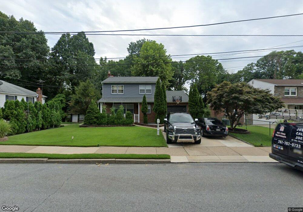
1127 Allen Dr Lansdowne, PA 19050
Estimated Value: $279,000 - $334,000
3
Beds
2
Baths
1,564
Sq Ft
$193/Sq Ft
Est. Value
About This Home
This home is located at 1127 Allen Dr, Lansdowne, PA 19050 and is currently estimated at $301,256, approximately $192 per square foot. 1127 Allen Dr is a home located in Delaware County with nearby schools including Bell Avenue Elementary School, Penn Wood Middle School, and Penn Wood High School - Cypress Street Campus.
Ownership History
Date
Name
Owned For
Owner Type
Purchase Details
Closed on
Jul 31, 2006
Sold by
Lomax Aubrey and Lomax Doris P
Bought by
Smith Joseph
Current Estimated Value
Home Financials for this Owner
Home Financials are based on the most recent Mortgage that was taken out on this home.
Original Mortgage
$218,405
Outstanding Balance
$130,699
Interest Rate
6.7%
Mortgage Type
Purchase Money Mortgage
Estimated Equity
$170,557
Create a Home Valuation Report for This Property
The Home Valuation Report is an in-depth analysis detailing your home's value as well as a comparison with similar homes in the area
Home Values in the Area
Average Home Value in this Area
Purchase History
| Date | Buyer | Sale Price | Title Company |
|---|---|---|---|
| Smith Joseph | $229,900 | None Available |
Source: Public Records
Mortgage History
| Date | Status | Borrower | Loan Amount |
|---|---|---|---|
| Open | Smith Joseph | $218,405 |
Source: Public Records
Tax History Compared to Growth
Tax History
| Year | Tax Paid | Tax Assessment Tax Assessment Total Assessment is a certain percentage of the fair market value that is determined by local assessors to be the total taxable value of land and additions on the property. | Land | Improvement |
|---|---|---|---|---|
| 2025 | $7,172 | $167,950 | $48,330 | $119,620 |
| 2024 | $7,172 | $167,950 | $48,330 | $119,620 |
| 2023 | $6,513 | $167,950 | $48,330 | $119,620 |
| 2022 | $6,211 | $167,950 | $48,330 | $119,620 |
| 2021 | $9,392 | $167,950 | $48,330 | $119,620 |
| 2020 | $6,721 | $107,620 | $27,910 | $79,710 |
| 2019 | $6,603 | $107,620 | $27,910 | $79,710 |
| 2018 | $6,511 | $107,620 | $0 | $0 |
| 2017 | $6,374 | $107,620 | $0 | $0 |
| 2016 | $591 | $107,620 | $0 | $0 |
| 2015 | $591 | $107,620 | $0 | $0 |
| 2014 | $591 | $107,620 | $0 | $0 |
Source: Public Records
Map
Nearby Homes
- 1049 Yeadon Ave
- 6951 Chester Ave
- 210 Londonderry Ln
- 133 N 3rd St
- 923 Bell Ave
- 205 N Front St
- 323 Berbro St
- 225 Wright Ave
- 939 Serrill Ave
- 214 N 6th St
- 306 Berbro St
- 6835 Chester Ave
- 7036 Greenway Ave
- 908 Cedar Ave
- 200 N 6th St
- 921 Serrill Ave
- 6718 Cobbs Creek Pkwy
- 252 N 9th St
- 7119 Woodland Ave
- 908 Yeadon Ave