Estimated Value: $372,000 - $398,000
--
Bed
--
Bath
1,701
Sq Ft
$225/Sq Ft
Est. Value
About This Home
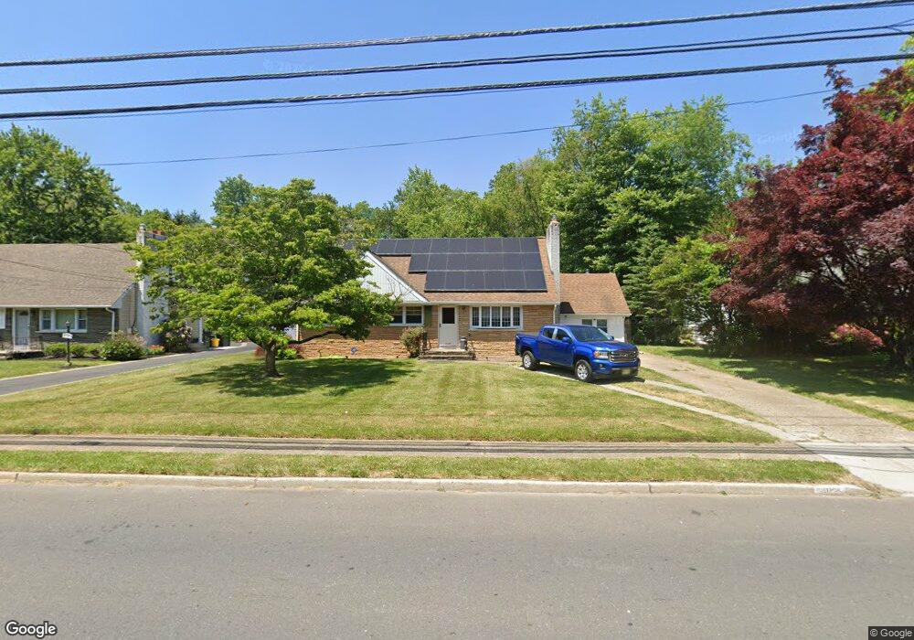
This home is located at 1127 Lower Ferry Rd, Ewing, NJ 08618 and is currently estimated at $382,767, approximately $225 per square foot. 1127 Lower Ferry Rd is a home located in Mercer County with nearby schools including Ewing High School, The Village Charter School, and Trenton Stem-To-Civics Charter School.
Ownership History
Date
Name
Owned For
Owner Type
Purchase Details
Closed on
Jun 30, 2000
Sold by
Sutter Helen
Bought by
Hopkins Richard and Hopkins Joanna
Current Estimated Value
Home Financials for this Owner
Home Financials are based on the most recent Mortgage that was taken out on this home.
Original Mortgage
$120,951
Outstanding Balance
$43,127
Interest Rate
8.18%
Mortgage Type
FHA
Estimated Equity
$339,640
Create a Home Valuation Report for This Property
The Home Valuation Report is an in-depth analysis detailing your home's value as well as a comparison with similar homes in the area
Home Values in the Area
Average Home Value in this Area
Purchase History
| Date | Buyer | Sale Price | Title Company |
|---|---|---|---|
| Hopkins Richard | $121,900 | -- |
Source: Public Records
Mortgage History
| Date | Status | Borrower | Loan Amount |
|---|---|---|---|
| Open | Hopkins Richard | $120,951 |
Source: Public Records
Tax History Compared to Growth
Tax History
| Year | Tax Paid | Tax Assessment Tax Assessment Total Assessment is a certain percentage of the fair market value that is determined by local assessors to be the total taxable value of land and additions on the property. | Land | Improvement |
|---|---|---|---|---|
| 2025 | $6,946 | $176,600 | $37,900 | $138,700 |
| 2024 | $6,529 | $176,600 | $37,900 | $138,700 |
| 2023 | $6,529 | $176,600 | $37,900 | $138,700 |
| 2022 | $6,352 | $176,600 | $37,900 | $138,700 |
| 2021 | $6,197 | $176,600 | $37,900 | $138,700 |
| 2020 | $6,109 | $176,600 | $37,900 | $138,700 |
| 2019 | $5,950 | $176,600 | $37,900 | $138,700 |
| 2018 | $6,449 | $122,100 | $40,300 | $81,800 |
| 2017 | $6,600 | $122,100 | $40,300 | $81,800 |
| 2016 | $6,510 | $122,100 | $40,300 | $81,800 |
| 2015 | $6,424 | $122,100 | $40,300 | $81,800 |
| 2014 | $6,407 | $122,100 | $40,300 | $81,800 |
Source: Public Records
Map
Nearby Homes
- 21 Dixmont Ave
- 115 Stratford Ave
- 30 Chelmsford Ct
- 7 Boone Ave
- 126 Rutledge Ave
- 51 Farrell Ave
- 991 Terrace Blvd
- 3 Wallace Ave
- 44 Lanning St
- 288 Clamer Rd
- 4 Downing Rd
- 161 Franklyn Rd
- 152 Franklyn Rd
- 409 Silvia St
- 71 Carlton Ave
- 1200 Silvia St
- 322 Wynnewood Rd
- 860 Lower Ferry Rd Unit 2K
- 860 Lower Ferry Rd Unit 1K
- 325 Silvia St
- 1129 Lower Ferry Rd
- 1123 Lower Ferry Rd
- 1131 Lower Ferry Rd
- 1119 Lower Ferry Rd
- 26 Peck Ave
- 1135 Lower Ferry Rd
- 24 Peck Ave
- 1137 Lower Ferry Rd
- 22 Peck Ave
- 28 Peck Ave
- 1122 Lower Ferry Rd
- 1115 Lower Ferry Rd
- 1136 Lower Ferry Rd
- 1141 Lower Ferry Rd
- 20 Peck Ave
- 30 Peck Ave
- 1113 Lower Ferry Rd
- 1145 Lower Ferry Rd
- 1142 Lower Ferry Rd Unit B
- 1142 Lower Ferry Rd