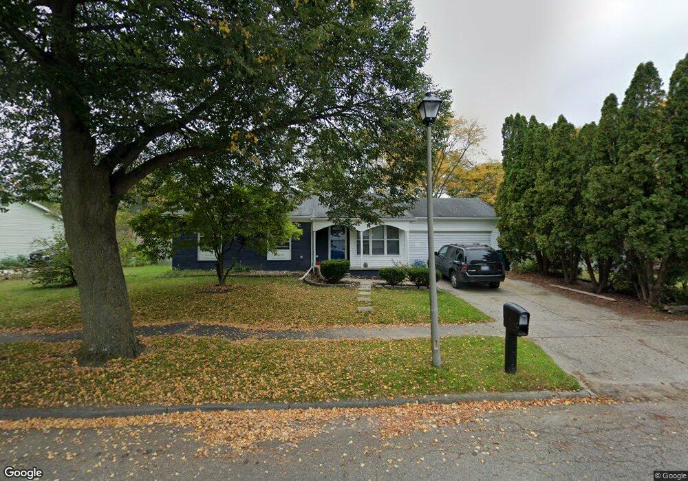
1127 Mel Ave Lansing, MI 48911
Southern Lansing NeighborhoodEstimated Value: $133,621 - $170,000
Studio
--
Bath
945
Sq Ft
$168/Sq Ft
Est. Value
About This Home
This home is located at 1127 Mel Ave, Lansing, MI 48911 and is currently estimated at $158,655, approximately $167 per square foot. 1127 Mel Ave is a home located in Ingham County with nearby schools including Reo Elementary School, Attwood School, and Everett High School.
Ownership History
Date
Name
Owned For
Owner Type
Purchase Details
Closed on
Nov 5, 1999
Sold by
Nulf David L and Nulf Judy
Bought by
Arambula Mario P
Current Estimated Value
Home Financials for this Owner
Home Financials are based on the most recent Mortgage that was taken out on this home.
Original Mortgage
$85,531
Outstanding Balance
$26,371
Interest Rate
7.88%
Mortgage Type
FHA
Estimated Equity
$132,284
Create a Home Valuation Report for This Property
The Home Valuation Report is an in-depth analysis detailing your home's value as well as a comparison with similar homes in the area
Home Values in the Area
Average Home Value in this Area
Purchase History
| Date | Buyer | Sale Price | Title Company |
|---|---|---|---|
| Arambula Mario P | $85,575 | -- |
Source: Public Records
Mortgage History
| Date | Status | Borrower | Loan Amount |
|---|---|---|---|
| Open | Arambula Mario P | $85,531 |
Source: Public Records
Tax History
| Year | Tax Paid | Tax Assessment Tax Assessment Total Assessment is a certain percentage of the fair market value that is determined by local assessors to be the total taxable value of land and additions on the property. | Land | Improvement |
|---|---|---|---|---|
| 2025 | $2,857 | $75,000 | $10,800 | $64,200 |
| 2024 | $23 | $63,700 | $10,800 | $52,900 |
| 2023 | $2,679 | $58,500 | $10,800 | $47,700 |
| 2022 | $2,415 | $51,200 | $9,900 | $41,300 |
| 2021 | $2,365 | $49,400 | $8,100 | $41,300 |
| 2020 | $2,351 | $47,700 | $8,100 | $39,600 |
| 2019 | $2,253 | $42,400 | $8,100 | $34,300 |
| 2018 | $2,112 | $38,400 | $8,100 | $30,300 |
| 2017 | $2,022 | $38,400 | $8,100 | $30,300 |
| 2016 | $1,941 | $35,700 | $8,100 | $27,600 |
| 2015 | $1,941 | $34,700 | $16,275 | $18,425 |
| 2014 | $1,941 | $34,300 | $24,412 | $9,888 |
Source: Public Records
Map
Nearby Homes
- 1309 Penrod Ct
- 1001 Ferley St
- 5641 Ashley Dr
- 1406 Weymouth Ct
- 1006 Attwood Dr
- 0 W Jolly Rd
- 1020 R G Curtiss Ave
- 5902 Haag Rd
- 1301 S Briarfield Dr
- 1215 S Briarfield Dr
- 5650 Hughes Rd
- 826 R G Curtiss Ave
- 0 Midwood St
- 4926 Burchfield Ave
- 5838 S Martin Luther King Junior Blvd
- 5017 Christiansen Rd
- 6037 Hughes Rd
- 419 W Jolly Rd
- 4928 Hughes Rd
- 4731 Palmer St
- 1115 Mel Ave
- 1101 Mel Ave
- 5415 Saint Marys Ct
- 5400 Saint Marys Ct
- 1128 Mel Ave
- 5500 Manor Dr
- 5419 Saint Marys Ct
- 1134 Mel Ave
- 5418 Saint Marys Ct
- 5416 Saint Marys Ct
- 1116 Mel Ave
- 1200 Mel Ave
- 5510 Manor Dr
- 1209 Mel Ave
- 1106 Mel Ave
- 1110 Mel Ave
- 5518 Manor Dr
- 1208 Mel Ave
- 1215 Mel Ave
- 1218 W Northrup St
Your Personal Tour Guide
Ask me questions while you tour the home.