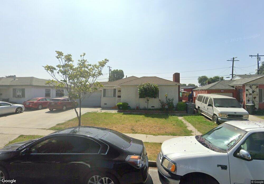
11272 Sampson Ave Lynwood, CA 90262
Estimated Value: $697,000 - $765,000
3
Beds
2
Baths
1,593
Sq Ft
$456/Sq Ft
Est. Value
About This Home
This home is located at 11272 Sampson Ave, Lynwood, CA 90262 and is currently estimated at $726,004, approximately $455 per square foot. 11272 Sampson Ave is a home located in Los Angeles County with nearby schools including Washington Elementary School, Hosler Middle School, and Lynwood High School.
Ownership History
Date
Name
Owned For
Owner Type
Purchase Details
Closed on
Sep 26, 2002
Sold by
Hayes Rickey T and Hayes Karen W
Bought by
Valdez Jose Carlos
Current Estimated Value
Home Financials for this Owner
Home Financials are based on the most recent Mortgage that was taken out on this home.
Original Mortgage
$223,837
Interest Rate
5.95%
Mortgage Type
FHA
Create a Home Valuation Report for This Property
The Home Valuation Report is an in-depth analysis detailing your home's value as well as a comparison with similar homes in the area
Home Values in the Area
Average Home Value in this Area
Purchase History
| Date | Buyer | Sale Price | Title Company |
|---|---|---|---|
| Valdez Jose Carlos | $227,000 | Diversified Title & Escrow S |
Source: Public Records
Mortgage History
| Date | Status | Borrower | Loan Amount |
|---|---|---|---|
| Previous Owner | Valdez Jose Carlos | $223,837 |
Source: Public Records
Tax History
| Year | Tax Paid | Tax Assessment Tax Assessment Total Assessment is a certain percentage of the fair market value that is determined by local assessors to be the total taxable value of land and additions on the property. | Land | Improvement |
|---|---|---|---|---|
| 2025 | $5,004 | $328,745 | $183,925 | $144,820 |
| 2024 | $5,004 | $322,300 | $180,319 | $141,981 |
| 2023 | $5,157 | $315,982 | $176,784 | $139,198 |
| 2022 | $4,799 | $309,787 | $173,318 | $136,469 |
| 2021 | $4,628 | $303,714 | $169,920 | $133,794 |
| 2019 | $4,733 | $294,708 | $164,881 | $129,827 |
| 2018 | $4,307 | $288,931 | $161,649 | $127,282 |
| 2016 | $4,019 | $277,714 | $155,373 | $122,341 |
| 2015 | $3,942 | $273,544 | $153,040 | $120,504 |
| 2014 | $3,857 | $268,187 | $150,043 | $118,144 |
Source: Public Records
Map
Nearby Homes
- 11267 Sampson Ave
- 11138 Linden St
- 3871 Cortland St
- 3886 Cortland St
- 3813 Lyndora St
- 11363 Virginia Ave
- 11022 Benwell Dr
- 11579 Virginia Ave
- 10930 Otis St
- 4026 Josephine St
- 10970 Ruth St
- 4020 Josephine St
- 10845 Otis St
- 10600 Hildreth Ave
- 11131 Louise Ave
- 10525 Washington Ave
- 3584 Mulford Ave
- 10414 Dorothy Ave
- 3700 Virginia St
- 12029 2nd Ave
- 11266 Sampson Ave
- 11278 Sampson Ave
- 3973 Beechwood Ave
- 11282 Sampson Ave
- 11262 Sampson Ave
- 3977 Beechwood Ave
- 3969 Beechwood Ave
- 3981 Beechwood Ave
- 11273 Sampson Ave
- 11279 Sampson Ave
- 3965 Beechwood Ave
- 11256 Sampson Ave
- 3985 Beechwood Ave
- 11283 Sampson Ave
- 11263 Sampson Ave
- 3989 Beechwood Ave
- 11248 Sampson Ave
- 11257 Sampson Ave
- 3988 Shirley Ave
- 3982 Shirley Ave
Your Personal Tour Guide
Ask me questions while you tour the home.