11274 Harcum Rd Gloucester, VA 23061
Ware Neck NeighborhoodEstimated Value: $498,836 - $565,000
5
Beds
3
Baths
2,888
Sq Ft
$184/Sq Ft
Est. Value
About This Home
This home is located at 11274 Harcum Rd, Gloucester, VA 23061 and is currently estimated at $529,959, approximately $183 per square foot. 11274 Harcum Rd is a home located in Gloucester County with nearby schools including Petsworth Elementary School, Peasley Middle School, and Gloucester High School.
Ownership History
Date
Name
Owned For
Owner Type
Purchase Details
Closed on
Mar 9, 2020
Sold by
Kurtz James A and Kurtz Rebecca M
Bought by
Weldon Timothy R
Current Estimated Value
Home Financials for this Owner
Home Financials are based on the most recent Mortgage that was taken out on this home.
Original Mortgage
$332,859
Outstanding Balance
$294,159
Interest Rate
3.5%
Mortgage Type
New Conventional
Estimated Equity
$235,800
Create a Home Valuation Report for This Property
The Home Valuation Report is an in-depth analysis detailing your home's value as well as a comparison with similar homes in the area
Home Values in the Area
Average Home Value in this Area
Purchase History
| Date | Buyer | Sale Price | Title Company |
|---|---|---|---|
| Weldon Timothy R | $339,000 | Lytle Title & Escrow Llc |
Source: Public Records
Mortgage History
| Date | Status | Borrower | Loan Amount |
|---|---|---|---|
| Open | Weldon Timothy R | $332,859 |
Source: Public Records
Tax History
| Year | Tax Paid | Tax Assessment Tax Assessment Total Assessment is a certain percentage of the fair market value that is determined by local assessors to be the total taxable value of land and additions on the property. | Land | Improvement |
|---|---|---|---|---|
| 2025 | $2,815 | $458,540 | $61,000 | $397,540 |
| 2024 | $2,815 | $458,540 | $61,000 | $397,540 |
| 2023 | $2,673 | $458,540 | $61,000 | $397,540 |
| 2022 | $2,409 | $332,320 | $56,000 | $276,320 |
| 2021 | $2,310 | $332,320 | $56,000 | $276,320 |
| 2020 | $2,310 | $332,320 | $56,000 | $276,320 |
| 2019 | $2,259 | $325,030 | $56,000 | $269,030 |
| 2017 | $2,210 | $325,030 | $56,000 | $269,030 |
| 2016 | $2,194 | $315,640 | $56,000 | $259,640 |
| 2015 | $702 | $172,700 | $58,000 | $114,700 |
| 2014 | $1,123 | $172,700 | $58,000 | $114,700 |
Source: Public Records
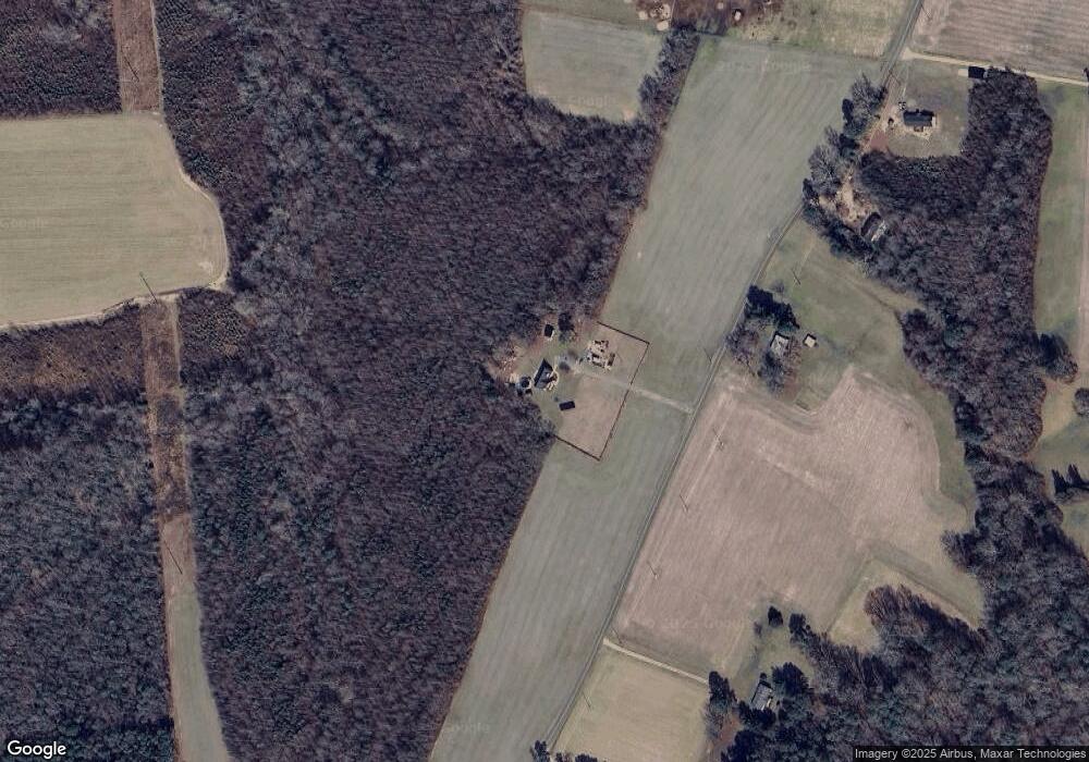
Map
Nearby Homes
- 00 New Upton Farms Ln
- 10785 Hornets Nest Rd
- LOT 2 Riverwatch Dr
- 11802 Deep Point Ln
- 27 E West Pkwy
- 686 Shore Dr
- 000 Horse Run Rd
- 00 Horse Run Rd
- 3.1+AC Buckskin Trail
- 00 Buckskin Trail
- 10114 New Hope Ct
- 10.88 AC Beech Creek Rd
- 262 Columbine Dr
- 1A Carter Hill St
- Lot 1 Poplar Dr
- 89 Poplar Dr
- 1033 Point Anne Dr
- 939 Coachpoint Rd
- 6245 Glenns Rd
- 335 Pineview Dr
- 11303 Harcum Rd
- 11207 Harcum Rd
- 678 State Route 678
- 1+ Harcum Rd
- Lot 9 Harcum Rd
- 2.09ac Harcum Rd
- 0000 Harcum Rd
- 0 Harcum Rd
- 11133 Harcum Rd
- 11113 Harcum Rd
- 7366 Dutton Rd
- 11099 Harcum Rd
- 11399 Harcum Rd
- 11085 Harcum Rd
- 11071 Harcum Rd
- 10972 Harcum Rd
- 11031 Harcum Rd
- 6908 New Upton Farms Ln
- 11045 Harcum Rd
- 000 Dutton Rd
Your Personal Tour Guide
Ask me questions while you tour the home.