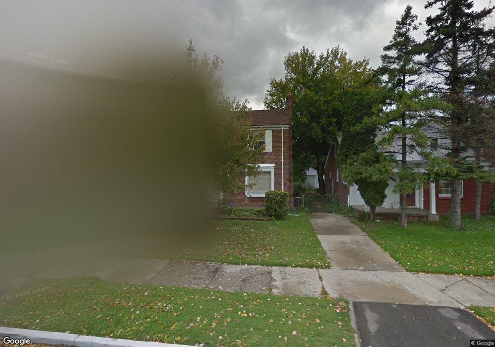
11277 Somerset Ave Detroit, MI 48224
Moross-Morang NeighborhoodEstimated Value: $92,183 - $128,000
--
Bed
1
Bath
1,305
Sq Ft
$85/Sq Ft
Est. Value
About This Home
This home is located at 11277 Somerset Ave, Detroit, MI 48224 and is currently estimated at $110,296, approximately $84 per square foot. 11277 Somerset Ave is a home located in Wayne County with nearby schools including Carleton Elementary School, Edward 'Duke' Ellington Conservatory of Music and Art, and Charles L. Spain Elementary-Middle School.
Ownership History
Date
Name
Owned For
Owner Type
Purchase Details
Closed on
Oct 4, 2019
Sold by
Rpj Real Estate Llc
Bought by
Lescouze Llc
Current Estimated Value
Purchase Details
Closed on
Aug 2, 2019
Sold by
Estate Of Ronald Harris
Bought by
Rpj Llc
Purchase Details
Closed on
Apr 6, 2016
Sold by
Jackson Lewis and Jackson Kimberly
Bought by
Harris Ronald
Purchase Details
Closed on
Apr 15, 1998
Sold by
Cra Walter V Briceland
Bought by
Harris Kimberly M
Create a Home Valuation Report for This Property
The Home Valuation Report is an in-depth analysis detailing your home's value as well as a comparison with similar homes in the area
Home Values in the Area
Average Home Value in this Area
Purchase History
| Date | Buyer | Sale Price | Title Company |
|---|---|---|---|
| Lescouze Llc | $66,000 | Embassy Title Agency | |
| Rpj Llc | $21,000 | None Available | |
| Harris Ronald | -- | None Available | |
| Harris Kimberly M | $82,000 | -- |
Source: Public Records
Tax History Compared to Growth
Tax History
| Year | Tax Paid | Tax Assessment Tax Assessment Total Assessment is a certain percentage of the fair market value that is determined by local assessors to be the total taxable value of land and additions on the property. | Land | Improvement |
|---|---|---|---|---|
| 2025 | $2,024 | $44,300 | $0 | $0 |
| 2024 | $2,024 | $39,200 | $0 | $0 |
| 2023 | $1,967 | $32,500 | $0 | $0 |
| 2022 | $2,108 | $27,000 | $0 | $0 |
| 2021 | $2,046 | $21,800 | $0 | $0 |
| 2020 | $2,045 | $20,400 | $0 | $0 |
| 2019 | $1,248 | $16,000 | $0 | $0 |
| 2018 | $1,063 | $14,000 | $0 | $0 |
| 2017 | $269 | $14,200 | $0 | $0 |
| 2016 | $1,401 | $19,300 | $0 | $0 |
| 2015 | $1,930 | $19,300 | $0 | $0 |
| 2013 | $2,682 | $26,819 | $0 | $0 |
| 2010 | -- | $39,320 | $1,390 | $37,930 |
Source: Public Records
Map
Nearby Homes
- 11317 Somerset Ave
- 11510 Nottingham Rd
- 11552 Nottingham Rd
- 11333 Balfour Rd
- 11609 Beaconsfield St
- 11466 Somerset Ave
- 11635 Beaconsfield St
- 11490 Somerset Ave
- 11726 Beaconsfield St
- 11090 Mckinney St
- 11106 Nottingham Rd
- 11210 Beaconsfield St
- 11514 Morang Dr
- 11451 Balfour Rd
- 11764 Beaconsfield St
- 10799 Worden St
- 10901 Worden St
- 11201 Beaconsfield St
- 10825 Worden St
- 11460 Balfour Rd
- 11285 Somerset Ave
- 11269 Somerset Ave
- 11291 Somerset Ave
- 11261 Somerset Ave
- 11301 Somerset Ave
- 11380 Nottingham Rd
- 11384 Nottingham Rd
- 11368 Nottingham Rd
- 11392 Nottingham Rd
- 11253 Somerset Ave
- 11245 Somerset Ave
- 11309 Somerset Ave
- 11400 Nottingham Rd
- 11352 Nottingham Rd
- 11276 Somerset Ave
- 11270 Somerset Ave
- 11284 Somerset Ave
- 11260 Somerset Ave
- 11292 Somerset Ave
- 11410 Nottingham Rd