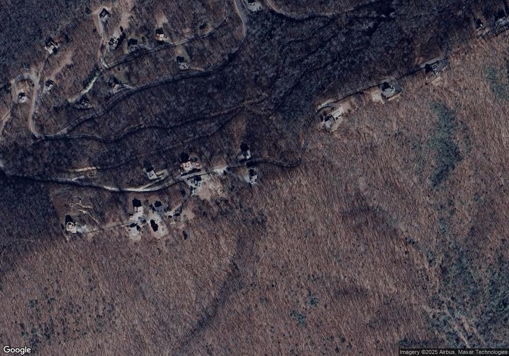
1128 Buck Ridge Dr Murphy, NC 28906
Estimated Value: $446,000 - $617,000
2
Beds
3
Baths
1,600
Sq Ft
$329/Sq Ft
Est. Value
About This Home
This home is located at 1128 Buck Ridge Dr, Murphy, NC 28906 and is currently estimated at $526,436, approximately $329 per square foot. 1128 Buck Ridge Dr is a home located in Cherokee County with nearby schools including Ranger Elementary/Middle School and Hiwassee Dam High School.
Ownership History
Date
Name
Owned For
Owner Type
Purchase Details
Closed on
Apr 19, 2024
Sold by
Kalosis Stephen F and Kalosis Sandra L
Bought by
Stephen F Kalosis Trust and Kalosis
Current Estimated Value
Purchase Details
Closed on
Feb 27, 2008
Sold by
Mcpheeters Thomas Carl and Mcpheeters Cindy Saulness
Bought by
Kalosis Stephen F and Kalosis Sandra L
Home Financials for this Owner
Home Financials are based on the most recent Mortgage that was taken out on this home.
Original Mortgage
$200,000
Interest Rate
5.46%
Mortgage Type
New Conventional
Create a Home Valuation Report for This Property
The Home Valuation Report is an in-depth analysis detailing your home's value as well as a comparison with similar homes in the area
Home Values in the Area
Average Home Value in this Area
Purchase History
| Date | Buyer | Sale Price | Title Company |
|---|---|---|---|
| Stephen F Kalosis Trust | -- | None Listed On Document | |
| Stephen F Kalosis Trust | -- | None Listed On Document | |
| Kalosis Stephen F | $365,000 | -- |
Source: Public Records
Mortgage History
| Date | Status | Borrower | Loan Amount |
|---|---|---|---|
| Previous Owner | Kalosis Stephen F | $200,000 |
Source: Public Records
Tax History Compared to Growth
Tax History
| Year | Tax Paid | Tax Assessment Tax Assessment Total Assessment is a certain percentage of the fair market value that is determined by local assessors to be the total taxable value of land and additions on the property. | Land | Improvement |
|---|---|---|---|---|
| 2025 | $1,768 | $256,130 | $0 | $0 |
| 2024 | $1,797 | $260,520 | $0 | $0 |
| 2023 | $1,787 | $260,520 | $0 | $0 |
| 2022 | $1,787 | $260,520 | $0 | $0 |
| 2021 | $1,500 | $260,520 | $35,000 | $225,520 |
| 2020 | $0 | $260,520 | $0 | $0 |
| 2019 | $1,540 | $255,680 | $0 | $0 |
| 2018 | $1,502 | $255,680 | $0 | $0 |
| 2017 | $1,399 | $237,330 | $0 | $0 |
| 2016 | $1,399 | $237,330 | $0 | $0 |
| 2015 | $1,399 | $237,330 | $65,000 | $172,330 |
| 2012 | -- | $237,330 | $65,000 | $172,330 |
Source: Public Records
Map
Nearby Homes
- 1013 Buck Ridge Dr
- 130 Trophy Buck Point
- 38 Trophy Buck Point
- 111 Trophy Buck Point
- Lot 4 Buckskin Dr
- 0 Ten Pointe Trail
- 0 Ten Pointe Trail Unit 153169
- 20.05 ac Treehouse Trail
- TBD Treehouse Trail
- 380 Bear Trail
- 670 Damons Trail
- 31 High Ridge Rd
- Lot 31 High Ridge Rd
- 86 Lightning Bug Ln
- 645 Damons Trail
- 88 Bear Ridge Trail
- 746 High Ridge Rd
- 41 Crane Nest Cove
- 329 Chalet Cir
- 54 Bumblebee Ln
- 1141 Buck Ridge Dr
- 15 Trophy Buck Point
- 28 Trophy Buck Dr
- 1071 Buck Ridge Dr
- 35 Trophy Buck Point
- 57 Trophy Buck Point
- 4 Buck Ridge Dr
- 4 Buck Ridge Dr Unit Lot 4
- 1318 Buck Ridge Dr
- 62 Buck Ridge Dr
- 62 Trophy Buck Pointe
- 62 Trophy Buck Point
- 62 Trophy Buck Point
- 1013 Buck Ridge Dr
- 68 Buck Ridge Dr
- 65 Trophy Buck Point
- 114 Trophy Buck Point
- 34 Buck Ridge Dr
- Lot 28 Trophy Buck Point
- LOT31 Trophy Buck Point
