1128 W 124th St S Colfax, IA 50054
Estimated Value: $215,000 - $260,000
2
Beds
2
Baths
952
Sq Ft
$248/Sq Ft
Est. Value
About This Home
This home is located at 1128 W 124th St S, Colfax, IA 50054 and is currently estimated at $235,665, approximately $247 per square foot. 1128 W 124th St S is a home located in Jasper County with nearby schools including Colfax-Mingo Elementary School and Colfax-Mingo High School.
Ownership History
Date
Name
Owned For
Owner Type
Purchase Details
Closed on
Jul 29, 2005
Sold by
Lindblom Dorothy A
Bought by
Keeney Daniel and Keeney Tonya
Current Estimated Value
Home Financials for this Owner
Home Financials are based on the most recent Mortgage that was taken out on this home.
Original Mortgage
$89,900
Outstanding Balance
$46,782
Interest Rate
5.71%
Mortgage Type
New Conventional
Estimated Equity
$188,883
Create a Home Valuation Report for This Property
The Home Valuation Report is an in-depth analysis detailing your home's value as well as a comparison with similar homes in the area
Home Values in the Area
Average Home Value in this Area
Purchase History
| Date | Buyer | Sale Price | Title Company |
|---|---|---|---|
| Keeney Daniel | $90,000 | United Land Title Co |
Source: Public Records
Mortgage History
| Date | Status | Borrower | Loan Amount |
|---|---|---|---|
| Open | Keeney Daniel | $89,900 |
Source: Public Records
Tax History Compared to Growth
Tax History
| Year | Tax Paid | Tax Assessment Tax Assessment Total Assessment is a certain percentage of the fair market value that is determined by local assessors to be the total taxable value of land and additions on the property. | Land | Improvement |
|---|---|---|---|---|
| 2025 | $2,296 | $202,200 | $64,900 | $137,300 |
| 2024 | $2,296 | $166,260 | $45,090 | $121,170 |
| 2023 | $2,226 | $166,260 | $45,090 | $121,170 |
| 2022 | $2,072 | $141,600 | $45,090 | $96,510 |
| 2021 | $1,896 | $134,280 | $45,090 | $89,190 |
| 2020 | $1,896 | $113,390 | $29,770 | $83,620 |
| 2019 | $1,806 | $99,830 | $0 | $0 |
| 2018 | $1,806 | $99,830 | $0 | $0 |
| 2017 | $1,804 | $99,400 | $0 | $0 |
| 2016 | $1,804 | $99,400 | $0 | $0 |
| 2015 | $1,804 | $99,700 | $0 | $0 |
| 2014 | $1,696 | $99,700 | $0 | $0 |
Source: Public Records
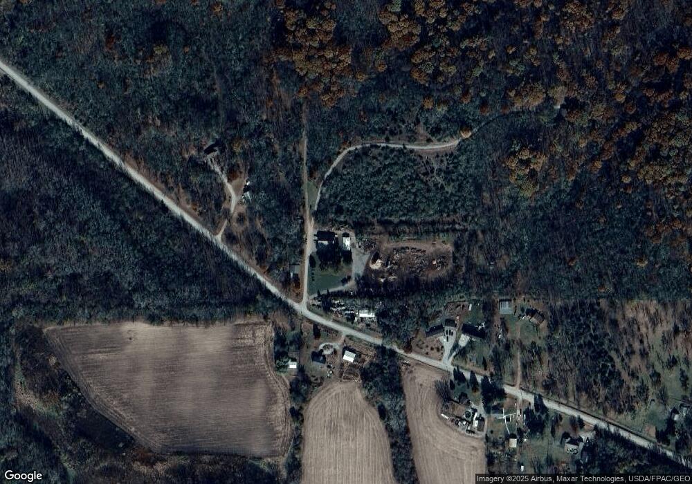
Map
Nearby Homes
- 1096 W 124th St S
- 0 W 120th St S
- 00 W 120th St S
- W 120th St S
- 11213 Orchard Ave
- 501 W Broadway St
- HWY 117 at Intersection of Fleet Ave
- 108 N West St
- 223 W Broadway St
- 119 W Washington St
- 215 W Spring St
- 108 S Walnut St
- 34 E Broadway St
- 14193 S 28th Ave W
- 200 Jefferson St
- 300 E Front St
- 222 E Broadway St
- 0000 Lincoln St
- 226 S Iowa St
- 20 S Oak Park Ave
- 12458 Federal Ave
- 12360 Federal Ave
- 12375 Federal Ave
- 12314 Federal Ave
- 12286 Federal Ave
- 12262 Federal Ave
- 12287 Federal Ave
- 12405 Federal Ave
- 12269 Federal Ave
- 12211 Federal Ave
- 12166 Federal Ave
- 12636 Federal Ave
- 12134 Federal Ave
- 12709 Federal Ave
- 12740 Federal Ave
- 12785 Federal Ave
- 805 W 120th St S
- 886 W 120th St S
- 542 Forest St S
- 548 W 120th St S