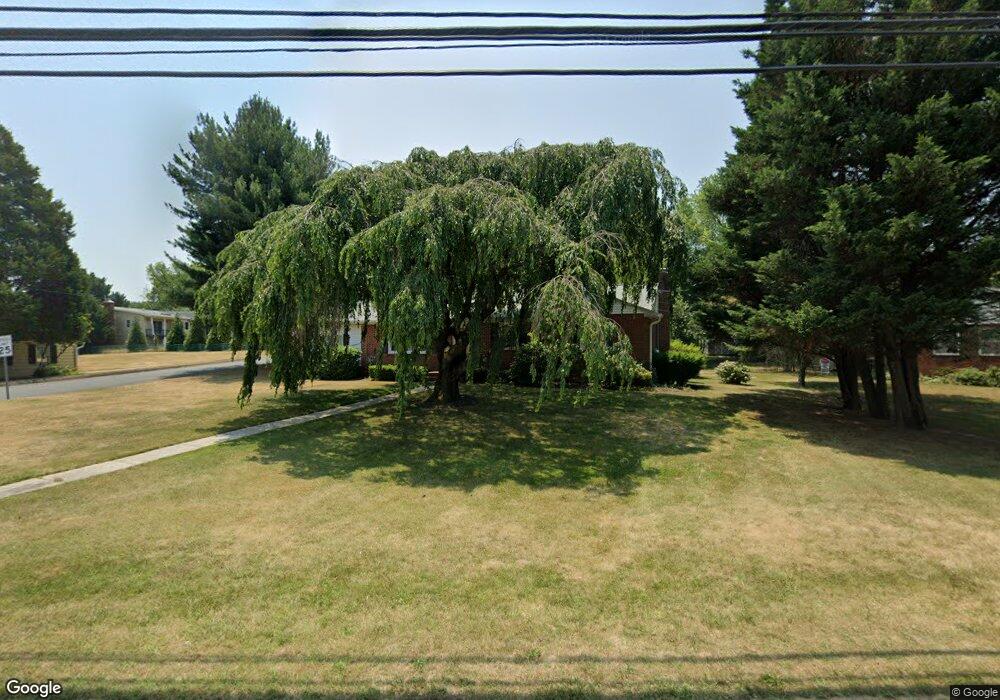
1129 Dorsey Rd Hanover, MD 21076
Estimated Value: $334,000 - $460,000
--
Bed
1
Bath
1,616
Sq Ft
$243/Sq Ft
Est. Value
About This Home
This home is located at 1129 Dorsey Rd, Hanover, MD 21076 and is currently estimated at $392,944, approximately $243 per square foot. 1129 Dorsey Rd is a home located in Anne Arundel County with nearby schools including Severn Elementary School, Old Mill Middle School North, and Old Mill High School.
Ownership History
Date
Name
Owned For
Owner Type
Purchase Details
Closed on
Jun 24, 1994
Sold by
Jones Rod R
Bought by
Piquett Joseph R
Current Estimated Value
Home Financials for this Owner
Home Financials are based on the most recent Mortgage that was taken out on this home.
Original Mortgage
$100,000
Interest Rate
8.74%
Purchase Details
Closed on
Dec 20, 1988
Sold by
Shekoski Jos R
Bought by
Jones Rod R
Home Financials for this Owner
Home Financials are based on the most recent Mortgage that was taken out on this home.
Original Mortgage
$119,200
Interest Rate
10.71%
Create a Home Valuation Report for This Property
The Home Valuation Report is an in-depth analysis detailing your home's value as well as a comparison with similar homes in the area
Home Values in the Area
Average Home Value in this Area
Purchase History
| Date | Buyer | Sale Price | Title Company |
|---|---|---|---|
| Piquett Joseph R | $134,900 | -- | |
| Jones Rod R | $125,500 | -- |
Source: Public Records
Mortgage History
| Date | Status | Borrower | Loan Amount |
|---|---|---|---|
| Closed | Piquett Joseph R | $100,000 | |
| Previous Owner | Jones Rod R | $119,200 |
Source: Public Records
Tax History Compared to Growth
Tax History
| Year | Tax Paid | Tax Assessment Tax Assessment Total Assessment is a certain percentage of the fair market value that is determined by local assessors to be the total taxable value of land and additions on the property. | Land | Improvement |
|---|---|---|---|---|
| 2025 | $2,940 | $342,400 | $189,200 | $153,200 |
| 2024 | $2,940 | $330,233 | $0 | $0 |
| 2023 | $2,853 | $318,067 | $0 | $0 |
| 2022 | $2,665 | $305,900 | $171,200 | $134,700 |
| 2021 | $181 | $293,067 | $0 | $0 |
| 2020 | $2,524 | $280,233 | $0 | $0 |
| 2019 | $2,477 | $267,400 | $149,700 | $117,700 |
| 2018 | $2,711 | $267,400 | $149,700 | $117,700 |
| 2017 | $2,356 | $267,400 | $0 | $0 |
| 2016 | -- | $280,500 | $0 | $0 |
| 2015 | -- | $260,033 | $0 | $0 |
| 2014 | -- | $239,567 | $0 | $0 |
Source: Public Records
Map
Nearby Homes
- 7406 Locust Dr
- 7534 Honey Locust Ln
- 771 Queenstown Rd
- 7524 Harmans Rd
- 7633 Amos Ave
- 112 Farmbrook Ln
- 900 S Wieker Rd
- 535 Arundel Ave
- 1012 Morgan Station Dr
- 0 Jeffrey Ave Unit MDAA2115638
- 7541 Moraine Dr
- 629 Queenstown Rd
- 7519 Mundell Rd
- 7674 Tuckerman Dr
- 1437 Strahorn Rd
- 7861 Golden Pine Cir
- 7860 Telegraph Rd
- 1454 Graham Farm Cir
- 7811 Wolf Run Ln
- 7808 Wolf Run Ln