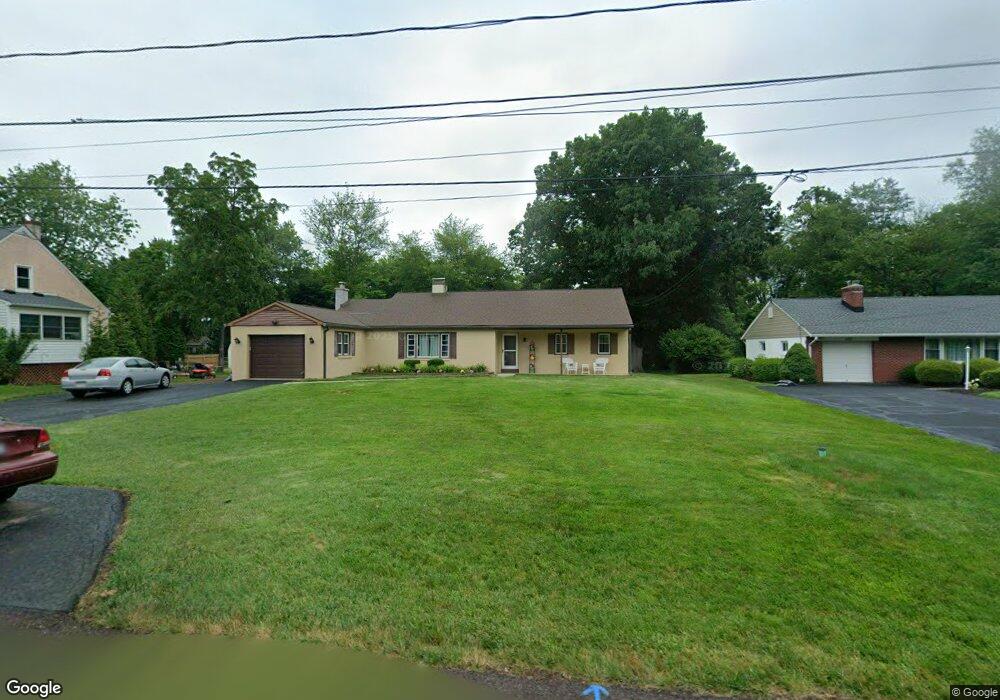
1129 Forrest Ave Lansdale, PA 19446
Estimated Value: $404,000 - $500,258
3
Beds
2
Baths
2,050
Sq Ft
$229/Sq Ft
Est. Value
About This Home
This home is located at 1129 Forrest Ave, Lansdale, PA 19446 and is currently estimated at $469,065, approximately $228 per square foot. 1129 Forrest Ave is a home located in Montgomery County with nearby schools including Oak Park El School, Penndale Middle School, and North Penn Senior High School.
Ownership History
Date
Name
Owned For
Owner Type
Purchase Details
Closed on
Aug 12, 2013
Sold by
Forst Rudolph K
Bought by
Janfrancisco Thomas W and Janfrancisco Lisa
Current Estimated Value
Home Financials for this Owner
Home Financials are based on the most recent Mortgage that was taken out on this home.
Original Mortgage
$100,000
Outstanding Balance
$74,721
Interest Rate
4.51%
Mortgage Type
New Conventional
Estimated Equity
$394,344
Create a Home Valuation Report for This Property
The Home Valuation Report is an in-depth analysis detailing your home's value as well as a comparison with similar homes in the area
Home Values in the Area
Average Home Value in this Area
Purchase History
| Date | Buyer | Sale Price | Title Company |
|---|---|---|---|
| Janfrancisco Thomas W | $220,000 | First American Title Ins Co |
Source: Public Records
Mortgage History
| Date | Status | Borrower | Loan Amount |
|---|---|---|---|
| Open | Janfrancisco Thomas W | $100,000 |
Source: Public Records
Tax History Compared to Growth
Tax History
| Year | Tax Paid | Tax Assessment Tax Assessment Total Assessment is a certain percentage of the fair market value that is determined by local assessors to be the total taxable value of land and additions on the property. | Land | Improvement |
|---|---|---|---|---|
| 2025 | $5,944 | $148,480 | $48,450 | $100,030 |
| 2024 | $5,944 | $148,480 | $48,450 | $100,030 |
| 2023 | $5,689 | $148,480 | $48,450 | $100,030 |
| 2022 | $5,504 | $148,480 | $48,450 | $100,030 |
| 2021 | $5,348 | $148,480 | $48,450 | $100,030 |
| 2020 | $5,221 | $148,480 | $48,450 | $100,030 |
| 2019 | $5,134 | $148,480 | $48,450 | $100,030 |
| 2018 | $5,135 | $148,480 | $48,450 | $100,030 |
| 2017 | $4,938 | $148,480 | $48,450 | $100,030 |
| 2016 | $4,881 | $148,480 | $48,450 | $100,030 |
| 2015 | $4,685 | $148,480 | $48,450 | $100,030 |
| 2014 | $4,685 | $148,480 | $48,450 | $100,030 |
Source: Public Records
Map
Nearby Homes
- 1222 Woodside Ave
- 1033 Landis Ln
- 900 W 8th St
- 21 S Valley Forge Rd Unit 213
- 920 Columbia Ave
- 39 N Mitchell Ave
- 340 Central Dr
- 723 Columbia Ave
- 712 Derstine Ave
- 515 Winding Rd
- 421 W 7th St
- 545 Winding Rd
- 821 W Orvilla Rd
- 1486 W Main St
- 411 W 7th St
- 941 Wedgewood Dr
- 633 Conestoga Ln
- 971 Wedgewood Dr
- 867 Wedgewood Dr
- 1200 Moyer Rd
- 1123 Forrest Ave
- 1143 Forrest Ave
- 1143 Forrest Ave
- 1145 Forrest Ave
- 223 1/2 Oak Park Rd
- 1119 Forrest Ave
- 1142 Forrest Ave
- 209 Oak Park Rd
- 203 Oak Park Rd
- 1130 Forrest Ave
- 211 Oak Park Rd
- 1120 Forrest Ave
- 223 Oak Park Rd
- 121 Oak Park Rd
- 1115 Forrest Ave
- 1114 Forrest Ave
- 229 Oak Park Rd
- 113 Oak Park Rd
- 1109 Forrest Ave
- 235 Oak Park Rd