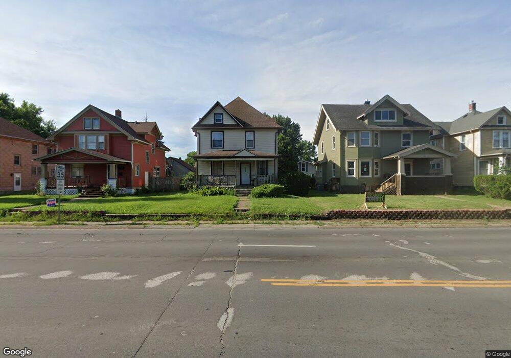
1129 W Locust St Davenport, IA 52804
Central Davenport NeighborhoodEstimated Value: $143,000 - $162,000
3
Beds
2
Baths
1,575
Sq Ft
$96/Sq Ft
Est. Value
About This Home
This home is located at 1129 W Locust St, Davenport, IA 52804 and is currently estimated at $151,547, approximately $96 per square foot. 1129 W Locust St is a home located in Scott County with nearby schools including Christian County Day Treatment Center Alt, Christian County Middle School, and Casey County Middle School.
Ownership History
Date
Name
Owned For
Owner Type
Purchase Details
Closed on
Apr 25, 2008
Sold by
Mortgage Electronic Registration Systems
Bought by
Otoole Robert P
Current Estimated Value
Home Financials for this Owner
Home Financials are based on the most recent Mortgage that was taken out on this home.
Original Mortgage
$40,000
Outstanding Balance
$25,219
Interest Rate
5.88%
Mortgage Type
Purchase Money Mortgage
Estimated Equity
$126,328
Purchase Details
Closed on
Sep 28, 2007
Sold by
Mejia Lori E
Bought by
Mortgage Electronic Registration Systems
Purchase Details
Closed on
Mar 21, 2007
Sold by
Mejia Lori E and Ridgeway Lori E
Bought by
Mtg Electronic Registration System Inc
Purchase Details
Closed on
May 3, 2005
Sold by
Us Bank Na
Bought by
Ridgeway Lori E
Create a Home Valuation Report for This Property
The Home Valuation Report is an in-depth analysis detailing your home's value as well as a comparison with similar homes in the area
Home Values in the Area
Average Home Value in this Area
Purchase History
| Date | Buyer | Sale Price | Title Company |
|---|---|---|---|
| Otoole Robert P | $50,000 | None Available | |
| Mortgage Electronic Registration Systems | $62,955 | None Available | |
| Mtg Electronic Registration System Inc | $68,400 | None Available | |
| Ridgeway Lori E | $52,000 | None Available |
Source: Public Records
Mortgage History
| Date | Status | Borrower | Loan Amount |
|---|---|---|---|
| Open | Otoole Robert P | $40,000 |
Source: Public Records
Tax History Compared to Growth
Tax History
| Year | Tax Paid | Tax Assessment Tax Assessment Total Assessment is a certain percentage of the fair market value that is determined by local assessors to be the total taxable value of land and additions on the property. | Land | Improvement |
|---|---|---|---|---|
| 2025 | $2,396 | $134,100 | $21,820 | $112,280 |
| 2024 | $3,030 | $134,100 | $21,820 | $112,280 |
| 2023 | $3,076 | $134,100 | $21,820 | $112,280 |
| 2022 | $2,724 | $102,500 | $13,570 | $88,930 |
| 2021 | $2,020 | $94,120 | $13,570 | $80,550 |
| 2020 | $2,494 | $85,640 | $13,570 | $72,070 |
| 2019 | $2,308 | $80,590 | $13,570 | $67,020 |
| 2018 | $1,165 | $80,590 | $13,570 | $67,020 |
| 2017 | $448 | $80,590 | $13,570 | $67,020 |
| 2016 | $2,113 | $80,590 | $0 | $0 |
| 2015 | $1,764 | $92,870 | $0 | $0 |
| 2014 | $2,062 | $92,870 | $0 | $0 |
| 2013 | $2,026 | $0 | $0 | $0 |
| 2012 | -- | $90,210 | $12,110 | $78,100 |
Source: Public Records
Map
Nearby Homes
- 1203 W Locust St
- 1921 Lillie Ave
- 2026 N Marquette St
- 1118 W 15th St
- 2038 N Myrtle St
- 1925 Vine St
- 1514 N Marquette St
- 1034 W 14th St
- 930 W 14th St
- 734 W 17th St
- 2015 Washington St
- 2133 Warren St
- 922 W Lombard St
- 822 W 14th St
- 1319 Warren St
- 2325 N Marquette St
- 2230 Warren St
- 1321 W 13th St
- 1525 W High St
- 1335 W 13th St
- 1125 W Locust St
- 1209 W Locust St
- 1117 W Locust St
- 1213 W Locust St
- 1126 W 17th St
- 1122 W 17th St
- 1202 W 17th St
- 1109 W Locust St
- 1206 W 17th St
- 1116 W 17th St
- 1132 W Locust St
- 1105 W Locust St
- 1128 W Locust St
- 1110 W 17th St
- 1725 N Marquette St
- 1731 N Marquette St
- 1715 N Marquette St
- 1122 W Locust St
- 1101 W Locust St
- 1709 N Marquette St