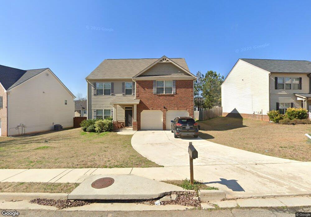
1129 Werre Way Locust Grove, GA 30248
Estimated Value: $330,000 - $386,000
5
Beds
4
Baths
2,729
Sq Ft
$132/Sq Ft
Est. Value
About This Home
This home is located at 1129 Werre Way, Locust Grove, GA 30248 and is currently estimated at $359,083, approximately $131 per square foot. 1129 Werre Way is a home with nearby schools including Locust Grove Elementary School, Locust Grove Middle School, and Locust Grove High School.
Ownership History
Date
Name
Owned For
Owner Type
Purchase Details
Closed on
Dec 14, 2018
Sold by
Dr Horton Inc
Bought by
Rivas Michael A and Morales Annette
Current Estimated Value
Home Financials for this Owner
Home Financials are based on the most recent Mortgage that was taken out on this home.
Original Mortgage
$217,369
Outstanding Balance
$194,097
Interest Rate
5.5%
Mortgage Type
FHA
Estimated Equity
$164,986
Purchase Details
Closed on
Aug 18, 2017
Sold by
Not Provided
Bought by
Dr Horton Inc
Purchase Details
Closed on
May 30, 2014
Sold by
Res Ga Two Llc
Bought by
Gdic Ga 5 Lp
Create a Home Valuation Report for This Property
The Home Valuation Report is an in-depth analysis detailing your home's value as well as a comparison with similar homes in the area
Home Values in the Area
Average Home Value in this Area
Purchase History
| Date | Buyer | Sale Price | Title Company |
|---|---|---|---|
| Rivas Michael A | $221,380 | -- | |
| Dr Horton Inc | $295,000 | -- | |
| Gdic Ga 5 Lp | $2,431,000 | -- |
Source: Public Records
Mortgage History
| Date | Status | Borrower | Loan Amount |
|---|---|---|---|
| Open | Rivas Michael A | $217,369 |
Source: Public Records
Tax History Compared to Growth
Tax History
| Year | Tax Paid | Tax Assessment Tax Assessment Total Assessment is a certain percentage of the fair market value that is determined by local assessors to be the total taxable value of land and additions on the property. | Land | Improvement |
|---|---|---|---|---|
| 2025 | $4,312 | $157,960 | $16,000 | $141,960 |
| 2024 | $4,312 | $138,080 | $16,000 | $122,080 |
| 2023 | $3,768 | $145,480 | $21,200 | $124,280 |
| 2022 | $3,622 | $117,240 | $21,200 | $96,040 |
| 2021 | $3,130 | $96,200 | $21,200 | $75,000 |
| 2020 | $2,899 | $86,440 | $12,000 | $74,440 |
| 2019 | $3,131 | $84,040 | $12,000 | $72,040 |
| 2018 | $0 | $10,000 | $10,000 | $0 |
| 2016 | $146 | $4,000 | $4,000 | $0 |
| 2015 | $128 | $4,000 | $4,000 | $0 |
| 2014 | $91 | $2,400 | $2,400 | $0 |
Source: Public Records
Map
Nearby Homes
- 1064 Lear Dr
- 380 Higgins Rd
- 231 Ferguson Ave
- 239 Ferguson Ave
- 565 Carleton Place
- 269 Baumgard Way
- 188 Sophie Cir
- 198 Aster Ave
- 501 Vervain Dr
- 194 Aster Ave
- 150 Aster Ave
- Cali Plan at Cedar Ridge - Locust Grove Station
- Belfort Plan at Cedar Ridge - Locust Grove Station
- Galen Plan at Cedar Ridge - Locust Grove Station
- Hayden Plan at Cedar Ridge - Locust Grove Station
- Packard Plan at Cedar Ridge - Locust Grove Station
- Flora Plan at Cedar Ridge - Locust Grove Station
- Penwell Plan at Cedar Ridge - Locust Grove Station
- 190 Aster Ave
- 505 Vervain Dr