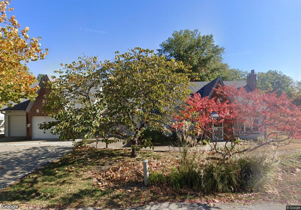
113 Adkins Rd Liberty, MO 64068
Estimated Value: $272,554 - $324,000
3
Beds
2
Baths
1,537
Sq Ft
$189/Sq Ft
Est. Value
About This Home
This home is located at 113 Adkins Rd, Liberty, MO 64068 and is currently estimated at $290,139, approximately $188 per square foot. 113 Adkins Rd is a home located in Clay County with nearby schools including Alexander Doniphan Elementary School, Discovery Middle School, and Liberty High School.
Ownership History
Date
Name
Owned For
Owner Type
Purchase Details
Closed on
Sep 30, 2025
Sold by
Mead Robert Charles and Mead Joy
Bought by
Ridihalgh Christopher B and Reinert Ashley M
Current Estimated Value
Home Financials for this Owner
Home Financials are based on the most recent Mortgage that was taken out on this home.
Original Mortgage
$260,000
Outstanding Balance
$259,769
Interest Rate
6.58%
Mortgage Type
New Conventional
Estimated Equity
$30,370
Purchase Details
Closed on
Jan 8, 2025
Sold by
Mead Robert Charles and Mead Joy
Bought by
Mead Robert Charles and Mead Joy
Purchase Details
Closed on
Dec 6, 2016
Sold by
Marrant Mary R and Marrant Ronald B
Bought by
Seal Terrance and Shaver Cynthia
Purchase Details
Closed on
Jan 31, 2013
Sold by
Shaver Cynthia S and Seal Terrance C P
Bought by
The Successor Trustee Of The Terrance Se and The Terrance Seal And Cynthia Shaver Rev
Create a Home Valuation Report for This Property
The Home Valuation Report is an in-depth analysis detailing your home's value as well as a comparison with similar homes in the area
Home Values in the Area
Average Home Value in this Area
Purchase History
| Date | Buyer | Sale Price | Title Company |
|---|---|---|---|
| Ridihalgh Christopher B | -- | Thomson Affinity Title | |
| Mead Robert Charles | -- | Continental Title | |
| Mead Robert Charles | -- | Continental Title | |
| Seal Terrance | -- | None Available | |
| The Successor Trustee Of The Terrance Se | -- | None Available |
Source: Public Records
Mortgage History
| Date | Status | Borrower | Loan Amount |
|---|---|---|---|
| Open | Ridihalgh Christopher B | $260,000 |
Source: Public Records
Tax History
| Year | Tax Paid | Tax Assessment Tax Assessment Total Assessment is a certain percentage of the fair market value that is determined by local assessors to be the total taxable value of land and additions on the property. | Land | Improvement |
|---|---|---|---|---|
| 2025 | $2,207 | $34,330 | -- | -- |
| 2024 | $2,207 | $29,890 | -- | -- |
| 2023 | $2,239 | $29,890 | $0 | $0 |
| 2022 | $2,202 | $29,070 | $0 | $0 |
| 2021 | $2,212 | $29,070 | $8,645 | $20,425 |
| 2020 | $1,937 | $24,020 | $0 | $0 |
| 2019 | $1,938 | $24,016 | $4,731 | $19,285 |
| 2018 | $1,923 | $23,410 | $0 | $0 |
| 2017 | $1,902 | $23,410 | $4,940 | $18,470 |
| 2016 | $1,902 | $23,410 | $4,940 | $18,470 |
| 2015 | $1,903 | $23,410 | $4,940 | $18,470 |
| 2014 | $2,065 | $25,350 | $4,940 | $20,410 |
Source: Public Records
Map
Nearby Homes
- 405 Wherritt Ln
- 1561 Parkside Dr
- 1601 Dunwich Dr
- 429 Pershing St
- 2116 Winding Woods Dr
- 509 Belmont St
- Lot 2A Oak Crest Dr
- 1836 Green Meadow Dr
- 1856 Arbor Trail
- 1849 Arbor Trail
- 1845 Arbor Trail
- 1829 Green Meadow Dr
- 2153 Black Walnut Dr
- 2152 Black Walnut Dr
- 2157 Black Walnut Dr
- 1985 Longview Dr
- 1916 Longview Dr
- 1989 Longview Dr
- Lot 2 Bent Oaks Dr
- 1975 Harvest Rd
Your Personal Tour Guide
Ask me questions while you tour the home.