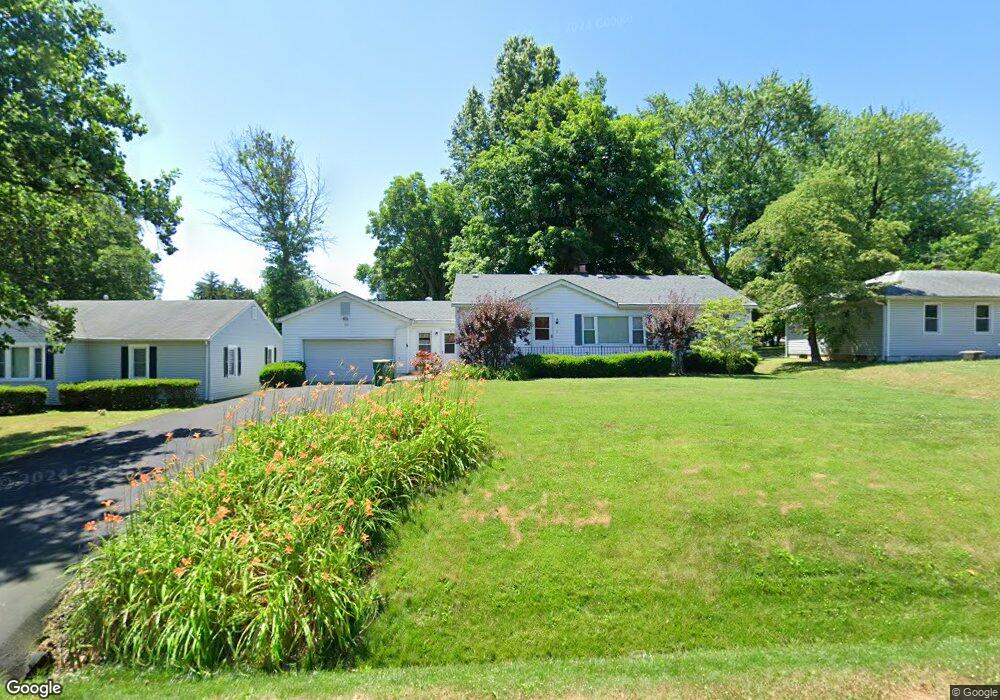
113 Atlantic St O'Fallon, IL 62269
Estimated Value: $169,576 - $194,000
3
Beds
2
Baths
1,320
Sq Ft
$140/Sq Ft
Est. Value
About This Home
This home is located at 113 Atlantic St, O'Fallon, IL 62269 and is currently estimated at $185,144, approximately $140 per square foot. 113 Atlantic St is a home located in St. Clair County with nearby schools including Central Elementary School, Joseph Arthur Middle School, and O'Fallon Township High School.
Ownership History
Date
Name
Owned For
Owner Type
Purchase Details
Closed on
Sep 19, 2025
Sold by
Olsen Karen M
Bought by
Olsen Karen M and Karen M Olsen Trust
Current Estimated Value
Purchase Details
Closed on
Aug 29, 2008
Sold by
Avery Doris F
Bought by
Olsen Karen M
Home Financials for this Owner
Home Financials are based on the most recent Mortgage that was taken out on this home.
Original Mortgage
$90,400
Interest Rate
6.31%
Mortgage Type
Purchase Money Mortgage
Create a Home Valuation Report for This Property
The Home Valuation Report is an in-depth analysis detailing your home's value as well as a comparison with similar homes in the area
Home Values in the Area
Average Home Value in this Area
Purchase History
| Date | Buyer | Sale Price | Title Company |
|---|---|---|---|
| Olsen Karen M | -- | None Available | |
| Olsen Karen M | -- | None Available | |
| Olsen Karen M | $113,000 | First County Title | |
| Olsen Karen M | $113,000 | First County Title |
Source: Public Records
Mortgage History
| Date | Status | Borrower | Loan Amount |
|---|---|---|---|
| Previous Owner | Olsen Karen M | $90,400 |
Source: Public Records
Tax History
| Year | Tax Paid | Tax Assessment Tax Assessment Total Assessment is a certain percentage of the fair market value that is determined by local assessors to be the total taxable value of land and additions on the property. | Land | Improvement |
|---|---|---|---|---|
| 2024 | $2,549 | $46,961 | $4,129 | $42,832 |
| 2023 | $2,333 | $41,551 | $3,653 | $37,898 |
| 2022 | $1,932 | $36,585 | $3,580 | $33,005 |
| 2021 | $1,859 | $34,724 | $3,398 | $31,326 |
| 2020 | $1,830 | $32,893 | $3,219 | $29,674 |
| 2019 | $1,770 | $32,893 | $3,219 | $29,674 |
| 2018 | $1,804 | $33,039 | $3,442 | $29,597 |
| 2017 | $1,749 | $31,699 | $3,303 | $28,396 |
| 2016 | $1,740 | $30,983 | $3,228 | $27,755 |
| 2014 | $1,607 | $30,893 | $2,602 | $28,291 |
| 2013 | $1,827 | $31,463 | $2,650 | $28,813 |
Source: Public Records
Map
Nearby Homes
- 205 Belt Ave
- 509 Long Dr
- 110 Famous Ave
- 209 Ashurst Ln
- 124 Cottage Hill Dr
- 212 Ashurst Ln
- 1232 Ole Town Bridge Dr
- 1350 Terrace Green Ln
- 204 Pamona Dr
- 1439 Kingsley Dr
- 903 Coral Dr
- 6104 Old Collinsville Rd
- 901 Silverlink Dr
- 643 Rain Hollow Dr
- 713 Sturbridge Trail
- 1016 Richland Park Dr
- 701 Sturbridge Trail
- 1009 Richland Park Dr
- 712 Creekwood Ct
- 6809 Timberstone Dr
- 113 Atlantic Ave
- 111 Atlantic Ave
- 115 Atlantic Ave
- 109 Atlantic Ave
- 117 Atlantic Ave
- 116 Belt Ave
- 118 Belt Ave
- 114 Belt Ave
- 114 Atlantic St
- 119 Atlantic Ave
- 120 Belt Ave
- 110 Atlantic Ave
- 110 Atlantic St
- 112 Belt Ave
- 114 Atlantic Ave
- 108 Atlantic Ave
- 116 Atlantic Ave
- 206 Long Dr
- 108 Belt Ave
- 105 Atlantic Ave
Your Personal Tour Guide
Ask me questions while you tour the home.