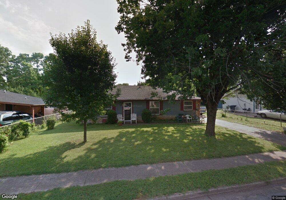
113 Battle Ave Murfreesboro, TN 37129
Estimated Value: $203,000 - $297,687
3
Beds
2
Baths
1,241
Sq Ft
$217/Sq Ft
Est. Value
About This Home
This home is located at 113 Battle Ave, Murfreesboro, TN 37129 and is currently estimated at $269,172, approximately $216 per square foot. 113 Battle Ave is a home located in Rutherford County with nearby schools including Mitchell-Neilson Elementary, Rockvale Middle School, and Rockvale High School.
Ownership History
Date
Name
Owned For
Owner Type
Purchase Details
Closed on
May 2, 2018
Sold by
Martin Richard
Bought by
Sanders Phil
Current Estimated Value
Home Financials for this Owner
Home Financials are based on the most recent Mortgage that was taken out on this home.
Original Mortgage
$160,050
Outstanding Balance
$137,935
Interest Rate
4.44%
Mortgage Type
New Conventional
Estimated Equity
$131,237
Purchase Details
Closed on
Jan 19, 2018
Sold by
Gammon Nelson Peggy and Smith Kathy
Bought by
Martin Richard
Create a Home Valuation Report for This Property
The Home Valuation Report is an in-depth analysis detailing your home's value as well as a comparison with similar homes in the area
Home Values in the Area
Average Home Value in this Area
Purchase History
| Date | Buyer | Sale Price | Title Company |
|---|---|---|---|
| Sanders Phil | $165,000 | Rudy Title & Escrow Llc | |
| Martin Richard | $80,000 | Memorial Title Llc |
Source: Public Records
Mortgage History
| Date | Status | Borrower | Loan Amount |
|---|---|---|---|
| Open | Sanders Phil | $160,050 |
Source: Public Records
Tax History Compared to Growth
Tax History
| Year | Tax Paid | Tax Assessment Tax Assessment Total Assessment is a certain percentage of the fair market value that is determined by local assessors to be the total taxable value of land and additions on the property. | Land | Improvement |
|---|---|---|---|---|
| 2025 | $1,499 | $52,975 | $13,750 | $39,225 |
| 2024 | $1,499 | $52,975 | $13,750 | $39,225 |
| 2023 | $994 | $52,975 | $13,750 | $39,225 |
| 2022 | $856 | $52,975 | $13,750 | $39,225 |
| 2021 | $732 | $32,975 | $6,500 | $26,475 |
| 2020 | $732 | $32,975 | $6,500 | $26,475 |
| 2019 | $732 | $32,975 | $6,500 | $26,475 |
| 2018 | $1,005 | $30,875 | $0 | $0 |
| 2017 | $759 | $19,525 | $0 | $0 |
| 2016 | $759 | $19,525 | $0 | $0 |
| 2015 | $759 | $19,525 | $0 | $0 |
| 2014 | $486 | $19,525 | $0 | $0 |
| 2013 | -- | $18,825 | $0 | $0 |
Source: Public Records
Map
Nearby Homes
- 105 Battle Ave
- 728 Old Salem Rd
- 513 N Maple St
- 412 N Church St
- 1006 Jones Blvd
- 225 N Academy St
- 422 N Academy St
- 1007 Grantland Ave
- 717 N Church St
- 401 E Main St
- 420 E State St
- 608 Lynn St
- 814 N Church St
- 904 N Maple St
- 431 E Castle St
- 1120 White Blvd
- 1022 Poplar Ave
- 906 N Maple St
- 804 N Academy St
- 1107 Owen Layne Dr
- 109 Battle Ave
- 117 Battle Ave
- 121 Battle Ave
- 116 S Kings Hwy
- 125 Battle Ave Unit 127
- 903 Smith St
- 906 Smith St
- 118 S Kings Hwy
- 207 Battle Ave
- 206 Battle Ave Unit 208
- 901 W Main St Unit 905
- 903 W Main St
- 905 W Main St
- 905 W Main St Unit 905
- 124 S Kings Hwy
- 905 Smith St
- 910 Smith St
- 211 Battle Ave
- 210 Battle Ave Unit 212
- 907 W Main St