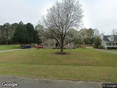
113 Bransford Dr Macon, GA 31216
Estimated Value: $244,000 - $265,342
3
Beds
2
Baths
1,991
Sq Ft
$126/Sq Ft
Est. Value
About This Home
This home is located at 113 Bransford Dr, Macon, GA 31216 and is currently estimated at $250,586, approximately $125 per square foot. 113 Bransford Dr is a home located in Bibb County with nearby schools including Porter Elementary School, Rutland Middle School, and Rutland High School.
Ownership History
Date
Name
Owned For
Owner Type
Purchase Details
Closed on
Jun 1, 2005
Sold by
Jpmorgan Chase Bank
Bought by
Williams Yarvis
Current Estimated Value
Purchase Details
Closed on
Mar 1, 2005
Home Financials for this Owner
Home Financials are based on the most recent Mortgage that was taken out on this home.
Original Mortgage
$114,750
Interest Rate
5.6%
Mortgage Type
Purchase Money Mortgage
Purchase Details
Closed on
Jun 19, 2003
Create a Home Valuation Report for This Property
The Home Valuation Report is an in-depth analysis detailing your home's value as well as a comparison with similar homes in the area
Home Values in the Area
Average Home Value in this Area
Purchase History
| Date | Buyer | Sale Price | Title Company |
|---|---|---|---|
| Williams Yarvis | $134,900 | None Avilabale | |
| -- | $114,800 | -- | |
| -- | $129,600 | -- |
Source: Public Records
Mortgage History
| Date | Status | Borrower | Loan Amount |
|---|---|---|---|
| Open | Williams Yarvis | $15,418 | |
| Open | Williams Yarvis | $148,393 | |
| Previous Owner | -- | $114,750 |
Source: Public Records
Tax History Compared to Growth
Tax History
| Year | Tax Paid | Tax Assessment Tax Assessment Total Assessment is a certain percentage of the fair market value that is determined by local assessors to be the total taxable value of land and additions on the property. | Land | Improvement |
|---|---|---|---|---|
| 2024 | $2,081 | $88,923 | $12,000 | $76,923 |
| 2023 | $2,053 | $76,302 | $12,000 | $64,302 |
| 2022 | $1,976 | $64,066 | $9,600 | $54,466 |
| 2021 | $1,647 | $50,335 | $8,000 | $42,335 |
| 2020 | $1,682 | $50,335 | $8,000 | $42,335 |
| 2019 | $1,696 | $50,335 | $8,000 | $42,335 |
| 2018 | $2,778 | $50,335 | $8,000 | $42,335 |
| 2017 | $1,844 | $56,226 | $9,600 | $46,626 |
| 2016 | $1,703 | $56,226 | $9,600 | $46,626 |
| 2015 | $2,411 | $56,226 | $9,600 | $46,626 |
| 2014 | $2,415 | $56,226 | $9,600 | $46,626 |
Source: Public Records
Map
Nearby Homes
- 113 Bransford Dr
- 117 Bransford Dr
- 109 Bransford Dr
- 121 Bransford Dr
- 108 Bransford Dr
- 0 Bransford Dr Unit 7479516
- 0 Bransford Dr Unit 7065569
- 0 Bransford Dr Unit 8321946
- 0 Bransford Dr Unit 8270082
- 0 Bransford Dr Unit 7530713
- 0 Bransford Dr Unit 7398125
- 0 Bransford Dr Unit 3151713
- 0 Bransford Dr
- 116 Bransford Dr
- 309 Bransford Ct
- 125 Bransford Dr
- 104 Bransford Dr
- 105 Bransford Dr
- 304 Bransford Ct
- 205 Pendleton Ct