113 Bryant St Vandergrift, PA 15690
Allegheny Township NeighborhoodEstimated Value: $43,000 - $173,000
2
Beds
1
Bath
--
Sq Ft
0.28
Acres
About This Home
This home is located at 113 Bryant St, Vandergrift, PA 15690 and is currently estimated at $94,321. 113 Bryant St is a home located in Westmoreland County with nearby schools including Kiski Area High School and Orchard Hills Christian Academy.
Ownership History
Date
Name
Owned For
Owner Type
Purchase Details
Closed on
Nov 15, 2011
Sold by
Baustert Wayne M
Bought by
Kozub Jeffrey T
Current Estimated Value
Home Financials for this Owner
Home Financials are based on the most recent Mortgage that was taken out on this home.
Original Mortgage
$73,098
Outstanding Balance
$49,483
Interest Rate
3.87%
Mortgage Type
FHA
Estimated Equity
$44,838
Create a Home Valuation Report for This Property
The Home Valuation Report is an in-depth analysis detailing your home's value as well as a comparison with similar homes in the area
Home Values in the Area
Average Home Value in this Area
Purchase History
| Date | Buyer | Sale Price | Title Company |
|---|---|---|---|
| Kozub Jeffrey T | $75,000 | None Available |
Source: Public Records
Mortgage History
| Date | Status | Borrower | Loan Amount |
|---|---|---|---|
| Open | Kozub Jeffrey T | $73,098 |
Source: Public Records
Tax History Compared to Growth
Tax History
| Year | Tax Paid | Tax Assessment Tax Assessment Total Assessment is a certain percentage of the fair market value that is determined by local assessors to be the total taxable value of land and additions on the property. | Land | Improvement |
|---|---|---|---|---|
| 2025 | $2,505 | $16,520 | $3,460 | $13,060 |
| 2024 | $2,377 | $16,520 | $3,460 | $13,060 |
| 2023 | $2,174 | $16,520 | $3,460 | $13,060 |
| 2022 | $2,124 | $16,520 | $3,460 | $13,060 |
| 2021 | $2,124 | $16,520 | $3,460 | $13,060 |
| 2020 | $2,119 | $16,520 | $3,460 | $13,060 |
| 2019 | $2,111 | $16,520 | $3,460 | $13,060 |
| 2018 | $2,078 | $16,520 | $3,460 | $13,060 |
| 2017 | $2,028 | $16,520 | $3,460 | $13,060 |
| 2016 | $1,998 | $16,520 | $3,460 | $13,060 |
| 2015 | $1,998 | $16,520 | $3,460 | $13,060 |
| 2014 | $1,988 | $16,520 | $3,460 | $13,060 |
Source: Public Records
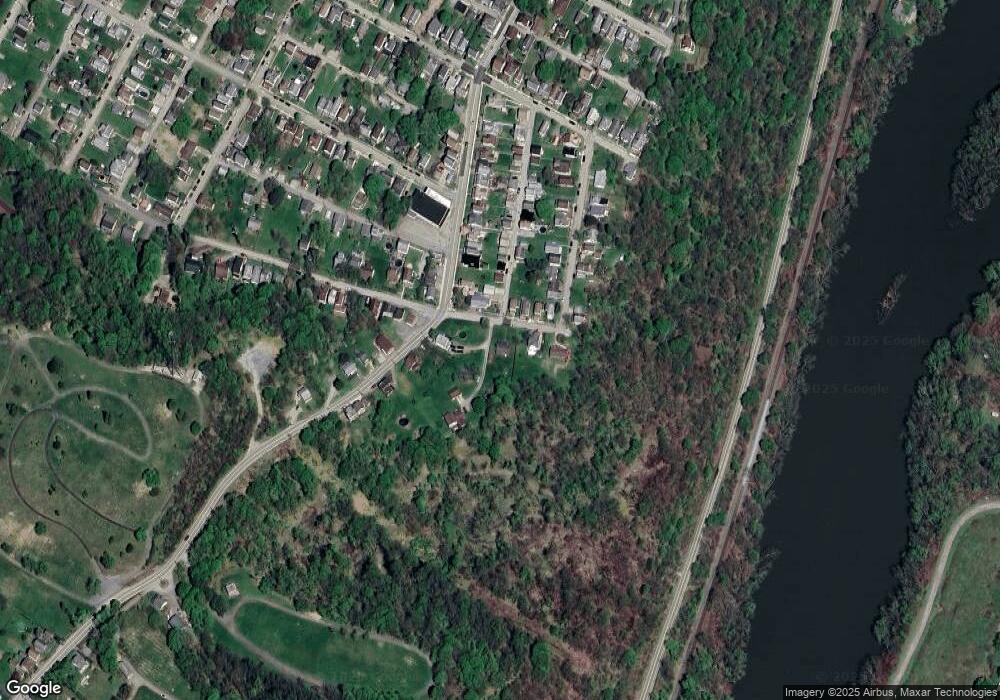
Map
Nearby Homes
- 213 Whittier St
- 231 Whittier St
- 311 Lowell St
- 1206 Wysocki Ave
- 800 Wallace St
- 314 1/2 Lowell St
- 314 Lowell St Unit 1/2
- 802 Mckinley Ave
- 316 1/2 Emerson St
- 403 Lowell St
- 404 N 10th St
- 715 1/2 Armstrong Ave Unit 1/2
- 402.5 N 10th St
- 716 Kennedy Ave
- 411a N Pennsylvania Ave
- 410 Longfellow St
- 431 Longfellow St
- 322 N 4th St
- 608 Kennedy Ave
- 439 Longfellow St
- 111 Bryant St
- 1103 Hancock Ave
- 114 Bryant St
- 109 Bryant St
- 112 Bryant St
- 110 Bryant St
- 1029 Hancock Ave
- 108 Bryant St
- 1027 Hancock Ave
- 1025 Poe St
- 1117 Hancock Ave
- 1025 Hancock Ave
- 1020 Poe St
- 1109 Hancock Ave
- 1018 Poe St
- 1018 1/2 Poe St
- 1183 Hancock Ave
- 1030 Hancock Ave
- 1023 Hancock Ave Unit A
- 1023 Hancock Ave