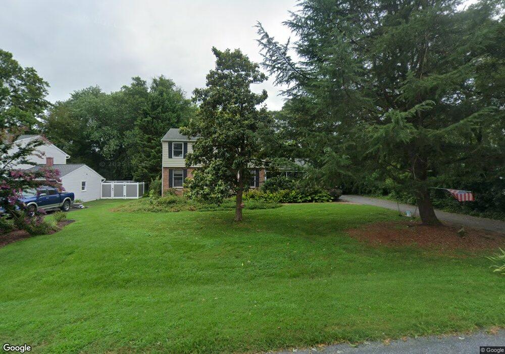
113 Calvert Rd Stevensville, MD 21666
Estimated Value: $528,764 - $638,000
4
Beds
4
Baths
1,728
Sq Ft
$346/Sq Ft
Est. Value
About This Home
This home is located at 113 Calvert Rd, Stevensville, MD 21666 and is currently estimated at $597,191, approximately $345 per square foot. 113 Calvert Rd is a home located in Queen Anne's County with nearby schools including Matapeake Elementary School, Matapeake Middle School, and Kent Island High School.
Ownership History
Date
Name
Owned For
Owner Type
Purchase Details
Closed on
Sep 30, 2009
Sold by
Skahan William J and Skahan Susan G
Bought by
Preston Sterling H and Preston Jennifer L
Current Estimated Value
Purchase Details
Closed on
Sep 28, 1984
Sold by
Mccullough Edward N and Mccullough Betty B
Bought by
Skahan William J and Skahan Susan G
Home Financials for this Owner
Home Financials are based on the most recent Mortgage that was taken out on this home.
Original Mortgage
$89,300
Interest Rate
14.26%
Create a Home Valuation Report for This Property
The Home Valuation Report is an in-depth analysis detailing your home's value as well as a comparison with similar homes in the area
Home Values in the Area
Average Home Value in this Area
Purchase History
| Date | Buyer | Sale Price | Title Company |
|---|---|---|---|
| Preston Sterling H | $322,000 | -- | |
| Skahan William J | $94,000 | -- |
Source: Public Records
Mortgage History
| Date | Status | Borrower | Loan Amount |
|---|---|---|---|
| Previous Owner | Skahan William J | $89,300 | |
| Closed | Preston Sterling H | -- |
Source: Public Records
Tax History Compared to Growth
Tax History
| Year | Tax Paid | Tax Assessment Tax Assessment Total Assessment is a certain percentage of the fair market value that is determined by local assessors to be the total taxable value of land and additions on the property. | Land | Improvement |
|---|---|---|---|---|
| 2025 | $3,466 | $389,300 | $0 | $0 |
| 2024 | $3,289 | $360,200 | $0 | $0 |
| 2023 | $3,119 | $331,100 | $150,900 | $180,200 |
| 2022 | $3,107 | $329,867 | $0 | $0 |
| 2021 | $3,200 | $328,633 | $0 | $0 |
| 2020 | $3,200 | $327,400 | $146,900 | $180,500 |
| 2019 | $3,132 | $320,333 | $0 | $0 |
| 2018 | $3,065 | $313,267 | $0 | $0 |
| 2017 | $2,997 | $306,200 | $0 | $0 |
| 2016 | -- | $306,200 | $0 | $0 |
| 2015 | $1,553 | $306,200 | $0 | $0 |
| 2014 | $1,553 | $309,200 | $0 | $0 |
Source: Public Records
Map
Nearby Homes
- 201 Beachside Dr
- 101 Beachside Dr
- 208 Tower Dr
- 312 S Lake Dr
- 145 N Lake Dr
- 118 N Lake Dr
- 114 N Lake Dr
- 306 N Lake Rd
- Lot 1 - E/Kent Point Romancoke
- 0 Ackerman Dr
- Lot 8 Ackerman Dr
- 8905 Romancoke Rd
- 203 Olive Branch Rd
- 321 Oregon Rd
- 214 Pennick Dr
- 210 Pennick Dr
- 102 Golf Ct
- 122 S Carolina Rd
- 213 Pennick Dr
- 101 Oak St
- 111 Calvert Rd
- 201 Drovers Way
- 203 Drovers Way
- 304 Calvert Rd
- 300 Calvert Rd
- 200 Drovers Way
- 202 Drovers Way
- 105 Calvert Rd
- 204 Drovers Way
- 312 Calvert Rd
- 207 Drovers Way
- 304 Tower Dr
- 302 Tower Dr
- 306 Tower Dr
- 103 Calvert Rd
- 104 Calvert Rd
- 203 Calvert Ct
- 205 Beachside Dr
- 308 Tower Dr
- 206 Drovers Way