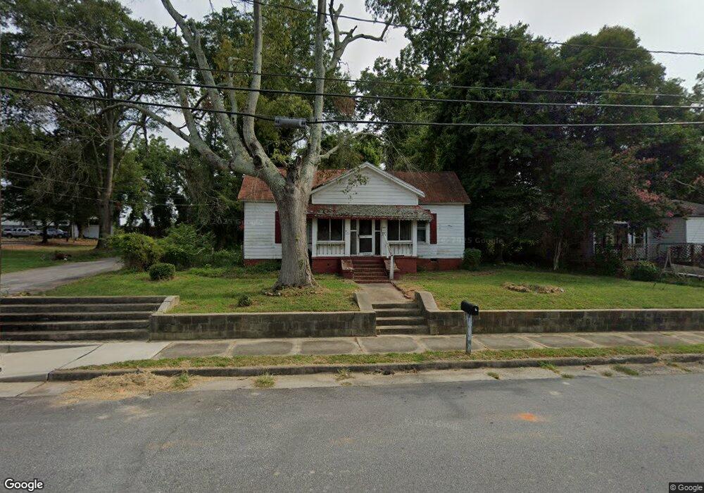
113 Daniel St Anderson, SC 29625
Estimated Value: $84,465 - $297,000
Studio
--
Bath
1,787
Sq Ft
$117/Sq Ft
Est. Value
About This Home
This home is located at 113 Daniel St, Anderson, SC 29625 and is currently estimated at $208,366, approximately $116 per square foot. 113 Daniel St is a home located in Anderson County with nearby schools including Concord Elementary School, McCants Middle School, and T.L. Hanna High School.
Ownership History
Date
Name
Owned For
Owner Type
Purchase Details
Closed on
Aug 4, 2015
Sold by
Alewine William C and Alewine Mary Y
Bought by
Mcdonald Arthur Kocomo and Mcdonald Dell Ree Chamblee
Current Estimated Value
Home Financials for this Owner
Home Financials are based on the most recent Mortgage that was taken out on this home.
Original Mortgage
$9,500
Outstanding Balance
$7,474
Interest Rate
4.04%
Mortgage Type
Seller Take Back
Estimated Equity
$200,892
Purchase Details
Closed on
Jan 5, 2015
Sold by
Alewine William C and Alewine Mary Y
Bought by
Hunter James and Mcintosh Shirley
Create a Home Valuation Report for This Property
The Home Valuation Report is an in-depth analysis detailing your home's value as well as a comparison with similar homes in the area
Home Values in the Area
Average Home Value in this Area
Purchase History
| Date | Buyer | Sale Price | Title Company |
|---|---|---|---|
| Mcdonald Arthur Kocomo | $10,000 | -- | |
| Hunter James | $12,000 | -- |
Source: Public Records
Mortgage History
| Date | Status | Borrower | Loan Amount |
|---|---|---|---|
| Open | Mcdonald Arthur Kocomo | $9,500 | |
| Closed | Hunter James | $0 |
Source: Public Records
Tax History
| Year | Tax Paid | Tax Assessment Tax Assessment Total Assessment is a certain percentage of the fair market value that is determined by local assessors to be the total taxable value of land and additions on the property. | Land | Improvement |
|---|---|---|---|---|
| 2024 | $40 | $1,110 | $200 | $910 |
| 2023 | $40 | $1,110 | $200 | $910 |
| 2022 | $40 | $1,110 | $200 | $910 |
| 2021 | $40 | $1,220 | $260 | $960 |
| 2020 | $40 | $1,220 | $260 | $960 |
| 2019 | $40 | $1,220 | $260 | $960 |
| 2018 | $40 | $1,220 | $260 | $960 |
| 2017 | -- | $1,220 | $260 | $960 |
| 2016 | $302 | $2,520 | $500 | $2,020 |
| 2015 | $1,006 | $2,860 | $600 | $2,260 |
| 2014 | $1,173 | $2,860 | $600 | $2,260 |
Source: Public Records
Map
Nearby Homes
- 1603 N Main St
- 302 Bleckley St
- 305 E Broad St
- 609 Fair St
- 120 Midtown Square
- 1105 W End Ave
- 607 Piedmont Ave
- Lot 1-C W Greenville St
- Lot 1-A W Greenville St
- 1307 W End Ave
- 609 Bonham Ct
- LOt 6 College Ave
- 310 Moultrie Square
- 1808 Edgewood Ave
- 329 F St
- 303 D St
- 301 D St
- 212 C St
- 401 Berkshire Hill
- Cann Rd
- 115 Daniel St
- 1310 N Murray Ave
- 205 Daniel St
- 1203 Gantt Ave
- 202 Daniel St
- 1307 Daniels Ave
- 0 Daniels Ave
- 1409 N Main St
- 1301 N Main St
- 206 Daniel St
- 1211 N Main St
- 206 Daniels St Unit A
- 210 Daniel St
- 1305 Daniels Ave
- 1307 N Murray Ave
- 1303 N Murray Ave
- 103 Lee St
- 212 Daniel St
- 1300 N Main St
- 1308 Daniels Ave
Your Personal Tour Guide
Ask me questions while you tour the home.