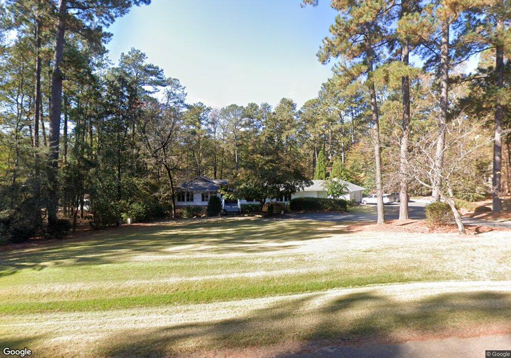
113 Deal Dr Lagrange, GA 30240
Estimated Value: $524,472 - $606,000
3
Beds
3
Baths
3,018
Sq Ft
$189/Sq Ft
Est. Value
About This Home
This home is located at 113 Deal Dr, Lagrange, GA 30240 and is currently estimated at $571,868, approximately $189 per square foot. 113 Deal Dr is a home located in Troup County with nearby schools including Hollis Hand Elementary School, Ethel W. Kight Elementary School, and Franklin Forest Elementary School.
Ownership History
Date
Name
Owned For
Owner Type
Purchase Details
Closed on
Sep 25, 2020
Sold by
Douglas Dawn P
Bought by
Waters William Dermot and Waters Eithne Dunne
Current Estimated Value
Home Financials for this Owner
Home Financials are based on the most recent Mortgage that was taken out on this home.
Original Mortgage
$426,695
Interest Rate
2.9%
Mortgage Type
Commercial
Purchase Details
Closed on
Sep 9, 2011
Sold by
Park Jean G
Bought by
Douglas Dawn P
Purchase Details
Closed on
Oct 27, 1992
Bought by
Park Jean G
Purchase Details
Closed on
Oct 1, 1992
Sold by
Jean Park
Purchase Details
Closed on
Feb 1, 1988
Sold by
Howard R Park
Bought by
Jean Park
Purchase Details
Closed on
Sep 12, 1977
Sold by
Daniel Lumber Co
Bought by
Howard R Park
Purchase Details
Closed on
Jan 1, 1975
Bought by
Daniel Lumber Co
Create a Home Valuation Report for This Property
The Home Valuation Report is an in-depth analysis detailing your home's value as well as a comparison with similar homes in the area
Purchase History
| Date | Buyer | Sale Price | Title Company |
|---|---|---|---|
| Waters William Dermot | $420,000 | -- | |
| Douglas Dawn P | -- | -- | |
| Park Jean G | -- | -- | |
| -- | -- | -- | |
| Jean Park | -- | -- | |
| Howard R Park | -- | -- | |
| Daniel Lumber Co | -- | -- |
Source: Public Records
Mortgage History
| Date | Status | Borrower | Loan Amount |
|---|---|---|---|
| Closed | Waters William Dermot | $426,695 |
Source: Public Records
Tax History
| Year | Tax Paid | Tax Assessment Tax Assessment Total Assessment is a certain percentage of the fair market value that is determined by local assessors to be the total taxable value of land and additions on the property. | Land | Improvement |
|---|---|---|---|---|
| 2025 | $5,397 | $197,880 | $26,000 | $171,880 |
| 2024 | $4,978 | $182,520 | $26,000 | $156,520 |
| 2023 | $4,827 | $177,000 | $20,000 | $157,000 |
| 2022 | $4,719 | $169,080 | $20,000 | $149,080 |
| 2021 | $4,671 | $154,880 | $19,800 | $135,080 |
| 2020 | $4,019 | $135,240 | $19,800 | $115,440 |
| 2019 | $4,027 | $135,520 | $19,800 | $115,720 |
| 2016 | $4,028 | $135,533 | $19,800 | $115,733 |
| 2015 | $4,546 | $152,453 | $19,800 | $132,653 |
| 2014 | $4,081 | $136,851 | $19,800 | $117,051 |
| 2013 | -- | $140,639 | $19,800 | $120,839 |
Source: Public Records
Map
Nearby Homes
- 116 Deal Dr
- 101 Deal Dr
- 638 Cameron Mill Rd
- 106 Highland Park
- 217 Baywood Cir
- 1000 Foxcroft Dr
- 2010 Foxcroft Dr
- 960 Cameron Mill Rd
- 2005 Foxcroft Dr
- 201 Willowcrest Way
- 0 Hills and Dales Farm Rd
- 1784 Mooty Bridge Rd
- 104 Spring Valley Dr
- 110 Pond View Point
- 210 Pinehaven Dr
- 117 Brookwood Dr
- 112 Brookwood Dr
- 420 Ridgecrest Rd
- 130 Sunny Point Cir
- 724 Camellia Dr
Your Personal Tour Guide
Ask me questions while you tour the home.