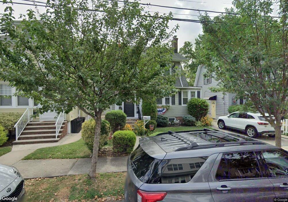
113 Dickie Ave Staten Island, NY 10314
Westerleigh NeighborhoodEstimated Value: $734,283 - $827,000
5
Beds
2
Baths
1,664
Sq Ft
$471/Sq Ft
Est. Value
About This Home
This home is located at 113 Dickie Ave, Staten Island, NY 10314 and is currently estimated at $783,071, approximately $470 per square foot. 113 Dickie Ave is a home located in Richmond County with nearby schools including P.S. 30 Westerleigh, I.S. 51 Edwin Markham, and Port Richmond High School.
Ownership History
Date
Name
Owned For
Owner Type
Purchase Details
Closed on
Aug 8, 2002
Sold by
Sellenthin John A and Sellenthin Arlene E
Bought by
Oconnor Terence M and Oconnor Lori Ann
Current Estimated Value
Home Financials for this Owner
Home Financials are based on the most recent Mortgage that was taken out on this home.
Original Mortgage
$260,000
Interest Rate
6.27%
Mortgage Type
Purchase Money Mortgage
Create a Home Valuation Report for This Property
The Home Valuation Report is an in-depth analysis detailing your home's value as well as a comparison with similar homes in the area
Home Values in the Area
Average Home Value in this Area
Purchase History
| Date | Buyer | Sale Price | Title Company |
|---|---|---|---|
| Oconnor Terence M | $325,000 | Advantage Title |
Source: Public Records
Mortgage History
| Date | Status | Borrower | Loan Amount |
|---|---|---|---|
| Previous Owner | Oconnor Terence M | $260,000 |
Source: Public Records
Tax History Compared to Growth
Tax History
| Year | Tax Paid | Tax Assessment Tax Assessment Total Assessment is a certain percentage of the fair market value that is determined by local assessors to be the total taxable value of land and additions on the property. | Land | Improvement |
|---|---|---|---|---|
| 2025 | $6,569 | $39,600 | $11,409 | $28,191 |
| 2024 | $6,569 | $39,060 | $11,153 | $27,907 |
| 2023 | $6,266 | $30,854 | $9,941 | $20,913 |
| 2022 | $5,981 | $35,760 | $13,320 | $22,440 |
| 2021 | $5,948 | $37,260 | $13,320 | $23,940 |
| 2020 | $5,983 | $35,340 | $13,320 | $22,020 |
| 2019 | $5,701 | $33,840 | $13,320 | $20,520 |
| 2018 | $5,241 | $25,712 | $12,436 | $13,276 |
| 2017 | $5,089 | $24,966 | $12,800 | $12,166 |
| 2016 | $4,709 | $23,554 | $11,993 | $11,561 |
| 2015 | $4,053 | $23,554 | $13,044 | $10,510 |
| 2014 | $4,053 | $22,711 | $13,388 | $9,323 |
Source: Public Records
Map
Nearby Homes
- 116 Bidwell Ave
- 184 Dickie Ave
- 32 Dickie Ave
- 212 Demorest Ave
- 60 North Ave
- 40 North Ave
- 159 North Ave
- 151 Clinton B Fisk Ave
- 75 Muller Ave
- 153 Clinton B Fisk Ave
- 262 Maine Ave
- 36 Shaw Place
- 32 Muller Ave
- 349 College Ave
- 78 Burnside Ave
- 325 College Ave
- 615 Jewett Ave
- 279 Saint John Ave
- 108 Crystal Ave
- 282 Willard Ave
- 109 Dickie Ave
- 119 Dickie Ave
- 121 Dickie Ave
- 104 Bidwell Ave
- 100 Bidwell Ave
- 108 Bidwell Ave
- 112 Bidwell Ave
- 125 Dickie Ave
- 114 Dickie Ave
- 122 Dickie Ave
- 477 College Ave
- 124 Dickie Ave
- 462 College Ave
- 473 College Ave
- 481 College Ave
- 469 College Ave
- 390 Maine Ave
- 485 College Ave
- 371 Maine Ave Unit 2
- 371 Maine Ave Unit 1