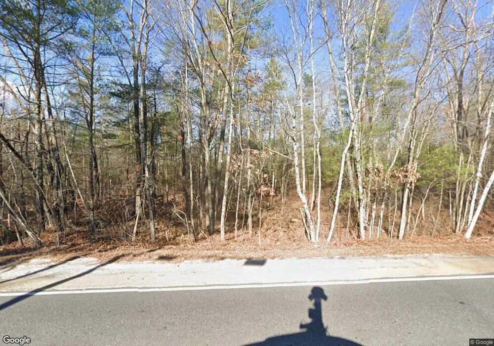
Estimated Value: $417,000 - $1,392,392
2
Beds
2
Baths
6,330
Sq Ft
$160/Sq Ft
Est. Value
About This Home
This home is located at 113 Egypt Rd Unit 2, Gray, ME 04039 and is currently estimated at $1,015,348, approximately $160 per square foot. 113 Egypt Rd Unit 2 is a home located in Cumberland County with nearby schools including Gray-New Gloucester High School.
Ownership History
Date
Name
Owned For
Owner Type
Purchase Details
Closed on
Jun 22, 2018
Sold by
Maloney Andrea
Bought by
Gray Amie M and Gray Timothy S
Current Estimated Value
Purchase Details
Closed on
Dec 12, 2016
Sold by
Maloney Andrea
Bought by
Mountain Development Inc
Purchase Details
Closed on
Apr 17, 2015
Sold by
Twin Brooks Camping Area
Bought by
Maloney Andrea
Purchase Details
Closed on
Jul 1, 2005
Sold by
Calvin L Austin Ft
Bought by
Twin Brooks Camping Area
Create a Home Valuation Report for This Property
The Home Valuation Report is an in-depth analysis detailing your home's value as well as a comparison with similar homes in the area
Home Values in the Area
Average Home Value in this Area
Purchase History
| Date | Buyer | Sale Price | Title Company |
|---|---|---|---|
| Gray Amie M | -- | -- | |
| Mountain Development Inc | -- | -- | |
| Maloney Andrea | -- | -- | |
| Twin Brooks Camping Area | -- | -- |
Source: Public Records
Tax History
| Year | Tax Paid | Tax Assessment Tax Assessment Total Assessment is a certain percentage of the fair market value that is determined by local assessors to be the total taxable value of land and additions on the property. | Land | Improvement |
|---|---|---|---|---|
| 2025 | $18,095 | $1,869,300 | $1,242,800 | $626,500 |
| 2024 | $12,707 | $1,310,000 | $1,070,000 | $240,000 |
| 2023 | $9,829 | $647,500 | $480,600 | $166,900 |
| 2022 | $9,033 | $647,500 | $480,600 | $166,900 |
| 2021 | $9,136 | $625,300 | $480,600 | $144,700 |
| 2020 | $9,223 | $625,300 | $480,600 | $144,700 |
| 2019 | $9,371 | $635,300 | $490,600 | $144,700 |
| 2018 | $8,894 | $635,300 | $490,600 | $144,700 |
| 2017 | $6,838 | $374,200 | $289,300 | $84,900 |
| 2016 | $6,848 | $374,200 | $289,300 | $84,900 |
| 2015 | $6,761 | $371,500 | $289,300 | $82,200 |
| 2014 | $6,761 | $371,500 | $289,300 | $82,200 |
| 2012 | -- | $371,461 | $289,300 | $82,161 |
Source: Public Records
Map
Nearby Homes
- M011-006 Westwood Rd
- 11-007 Westwood Rd
- 15 May Meadow Dr
- 00 N Shore Rd
- 4 Chelsey Ln
- Lot 73A Vogel Rd
- 2 Gore Rd
- 194 Weymouth Rd
- 2 Alling Dr
- 0 Heidi Way
- 224 Shaker Rd
- 72 Shaw Brook Ln
- 173 Weymouth Rd
- 12 Presidential View
- 10 Evelyn's Way
- 163 Valley Rd
- 140 Raymond Hill Rd
- 708 Webbs Mills Rd
- 127 Shaker Rd Unit 17
- 486 Webbs Mills Rd
- 113 B Egypt
- 113 A Egypt Rd
- 113 Egypt Rd
- 125 Egypt Rd
- 76 Egypt Rd
- 113 Egypt Addison Ave
- 126 Egypt Rd
- 34 Birchwood Rd
- 2 Owen Ln
- Lot 1, Twi Egypt Rd
- Lot 4, Twi Egypt Rd
- Lot 3, Twi Egypt Rd
- Egypt Rd 133+egypt Rd
- Lot 6, Twi Egypt Rd
- Lot 1 Westwood Rd Unit Road
- Lot 1 Westwood Rd
- 3-2 Westwood Dr
- Lot 2 Westwood Rd Unit Road
- Lot 2 Westwood Rd
- 00 Westwood Rd
