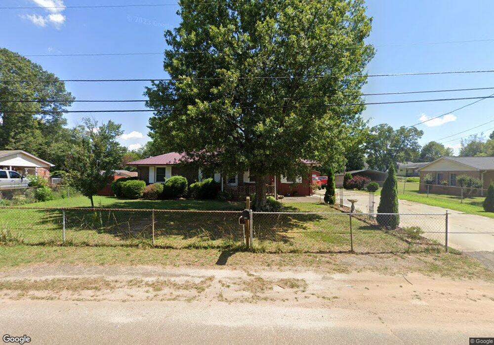
113 Elm Ave Anderson, SC 29625
Estimated Value: $205,000 - $256,000
3
Beds
1
Bath
1,217
Sq Ft
$189/Sq Ft
Est. Value
About This Home
This home is located at 113 Elm Ave, Anderson, SC 29625 and is currently estimated at $230,257, approximately $189 per square foot. 113 Elm Ave is a home located in Anderson County with nearby schools including Centerville Elementary School, Westside High School, and Anderson Institute of Technology.
Ownership History
Date
Name
Owned For
Owner Type
Purchase Details
Closed on
Feb 20, 2025
Sold by
Tinucci Dominic J and Tinucci Kathleen A
Bought by
Tinucci Dominic J and Tinucci Kathleen A
Current Estimated Value
Purchase Details
Closed on
Nov 17, 2009
Sold by
Bryan James A and Bryan Mary Ann
Bought by
Tinucci Dominic J and Tinucci Kathleen A
Home Financials for this Owner
Home Financials are based on the most recent Mortgage that was taken out on this home.
Original Mortgage
$30,000
Interest Rate
4.92%
Mortgage Type
Purchase Money Mortgage
Create a Home Valuation Report for This Property
The Home Valuation Report is an in-depth analysis detailing your home's value as well as a comparison with similar homes in the area
Home Values in the Area
Average Home Value in this Area
Purchase History
| Date | Buyer | Sale Price | Title Company |
|---|---|---|---|
| Tinucci Dominic J | -- | None Listed On Document | |
| Tinucci Dominic J | -- | None Listed On Document | |
| Tinucci Dominic J | $75,000 | -- |
Source: Public Records
Mortgage History
| Date | Status | Borrower | Loan Amount |
|---|---|---|---|
| Previous Owner | Tinucci Dominic J | $30,000 |
Source: Public Records
Tax History Compared to Growth
Tax History
| Year | Tax Paid | Tax Assessment Tax Assessment Total Assessment is a certain percentage of the fair market value that is determined by local assessors to be the total taxable value of land and additions on the property. | Land | Improvement |
|---|---|---|---|---|
| 2024 | $80 | $4,210 | $470 | $3,740 |
| 2023 | $80 | $4,210 | $470 | $3,740 |
| 2022 | $75 | $4,210 | $470 | $3,740 |
| 2021 | $72 | $3,820 | $400 | $3,420 |
| 2020 | $72 | $3,820 | $400 | $3,420 |
| 2019 | $72 | $3,820 | $400 | $3,420 |
| 2018 | $72 | $3,820 | $400 | $3,420 |
| 2017 | -- | $3,820 | $400 | $3,420 |
| 2016 | $72 | $3,680 | $320 | $3,360 |
| 2015 | -- | $3,900 | $320 | $3,580 |
| 2014 | $526 | $3,480 | $320 | $3,160 |
Source: Public Records
Map
Nearby Homes
- 301 Elm Ave
- 303 Elm Ave
- 101 Victorian Dr
- 323 Maria Dr
- 110 Bean Mill Way
- 129 Saddle Brook
- 126 Coachman Dr
- 109 Coachman Ct
- 611 Regency Cir
- 1013 Drakes Crossing
- 215 Spruce Creek
- 300 Clearview Dr
- 502 Blume Rd
- 200 Tiffany Dr
- 109 Graceview E
- 112 Lark Ln
- 114 Thorncliff Place
- 104 Roxbury Ct
- 2026 Avant Cir
- 101 Pleasantburg Rd