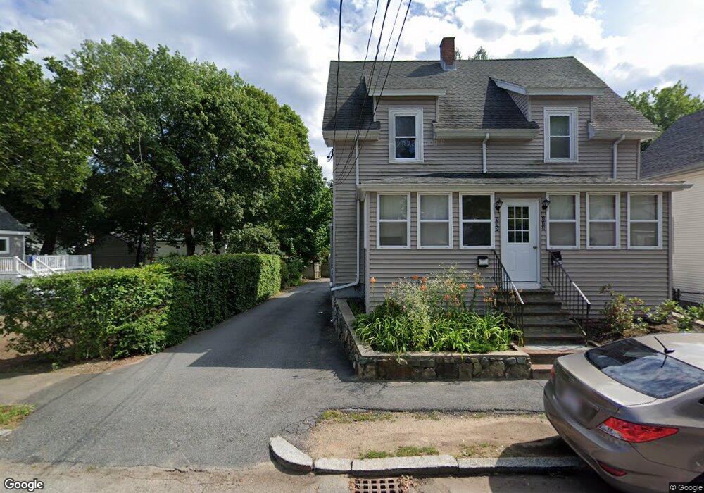
113 Green St Unit 1 Reading, MA 01867
Estimated Value: $757,000 - $915,000
4
Beds
2
Baths
1,600
Sq Ft
$541/Sq Ft
Est. Value
About This Home
This home is located at 113 Green St Unit 1, Reading, MA 01867 and is currently estimated at $865,761, approximately $541 per square foot. 113 Green St Unit 1 is a home located in Middlesex County with nearby schools including J. Warren Killam Elementary School, Walter S. Parker Middle School, and Reading Memorial High School.
Ownership History
Date
Name
Owned For
Owner Type
Purchase Details
Closed on
Feb 16, 2010
Sold by
Forzese Thomas J and Forzese Nancy L
Bought by
Tnv Rt and Forzese
Current Estimated Value
Purchase Details
Closed on
Aug 14, 2009
Sold by
Forzese Thomas J and Forzese Nancy J
Bought by
Forzese Thomas J and Forzese Nancy J
Purchase Details
Closed on
Apr 22, 2009
Sold by
Fnma
Bought by
Forzese Thomas J and Forzese Nancy L
Home Financials for this Owner
Home Financials are based on the most recent Mortgage that was taken out on this home.
Original Mortgage
$240,000
Interest Rate
4.93%
Mortgage Type
Purchase Money Mortgage
Purchase Details
Closed on
Apr 14, 2009
Sold by
Ouellette David and Chase Home Finance Llc
Bought by
Federal National Mortgage Association
Home Financials for this Owner
Home Financials are based on the most recent Mortgage that was taken out on this home.
Original Mortgage
$240,000
Interest Rate
4.93%
Mortgage Type
Purchase Money Mortgage
Create a Home Valuation Report for This Property
The Home Valuation Report is an in-depth analysis detailing your home's value as well as a comparison with similar homes in the area
Home Values in the Area
Average Home Value in this Area
Purchase History
| Date | Buyer | Sale Price | Title Company |
|---|---|---|---|
| Tnv Rt | -- | -- | |
| Forzese Thomas J | -- | -- | |
| Forzese Thomas J | $300,000 | -- | |
| Federal National Mortgage Association | $378,687 | -- |
Source: Public Records
Mortgage History
| Date | Status | Borrower | Loan Amount |
|---|---|---|---|
| Previous Owner | Forzese Thomas J | $240,000 |
Source: Public Records
Tax History
| Year | Tax Paid | Tax Assessment Tax Assessment Total Assessment is a certain percentage of the fair market value that is determined by local assessors to be the total taxable value of land and additions on the property. | Land | Improvement |
|---|---|---|---|---|
| 2025 | $8,855 | $777,400 | $401,400 | $376,000 |
| 2024 | $8,567 | $731,000 | $377,400 | $353,600 |
| 2023 | $8,400 | $667,200 | $344,500 | $322,700 |
| 2022 | $7,734 | $580,200 | $299,600 | $280,600 |
| 2021 | $7,408 | $536,400 | $274,500 | $261,900 |
| 2020 | $4,231 | $510,400 | $261,200 | $249,200 |
| 2019 | $6,924 | $486,600 | $249,000 | $237,600 |
| 2018 | $6,305 | $454,600 | $232,600 | $222,000 |
| 2017 | $3,962 | $435,800 | $221,300 | $214,500 |
| 2016 | $6,003 | $414,000 | $209,200 | $204,800 |
| 2015 | $5,723 | $389,300 | $199,200 | $190,100 |
| 2014 | $5,514 | $374,100 | $189,700 | $184,400 |
Source: Public Records
Map
Nearby Homes
- 48 Village St Unit 1001
- 69 Ash St
- 3 Carnation Cir Unit C
- 20 Pinevale Ave
- 90 Sunnyside Ave
- 241 Main St Unit C3
- 5 Washington St Unit D4
- 41 Winter St
- 141 Belmont St
- 50 Quannapowitt Pkwy
- 35 Longfellow Rd
- 80 Redfield Rd
- 27 Audubon Rd
- 2 Summit Dr Unit 43
- 403 Gazebo Cir
- 1014 Gazebo Cir Unit 1014
- 1 Summit Dr Unit 57
- 103 Oak St
- 101 King St Unit 101
- 313 South St
Your Personal Tour Guide
Ask me questions while you tour the home.