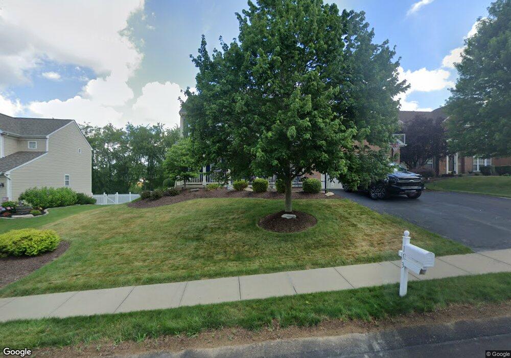
113 High Point Dr Canonsburg, PA 15317
Estimated Value: $545,000 - $646,000
4
Beds
4
Baths
3,128
Sq Ft
$196/Sq Ft
Est. Value
About This Home
This home is located at 113 High Point Dr, Canonsburg, PA 15317 and is currently estimated at $611,988, approximately $195 per square foot. 113 High Point Dr is a home located in Washington County with nearby schools including Canon-Mcmillan Senior High School.
Ownership History
Date
Name
Owned For
Owner Type
Purchase Details
Closed on
Oct 31, 2008
Sold by
Yanni John D
Bought by
Anderson Michael T
Current Estimated Value
Home Financials for this Owner
Home Financials are based on the most recent Mortgage that was taken out on this home.
Original Mortgage
$323,000
Outstanding Balance
$212,025
Interest Rate
6.08%
Mortgage Type
New Conventional
Estimated Equity
$399,963
Create a Home Valuation Report for This Property
The Home Valuation Report is an in-depth analysis detailing your home's value as well as a comparison with similar homes in the area
Home Values in the Area
Average Home Value in this Area
Purchase History
| Date | Buyer | Sale Price | Title Company |
|---|---|---|---|
| Anderson Michael T | $340,000 | -- |
Source: Public Records
Mortgage History
| Date | Status | Borrower | Loan Amount |
|---|---|---|---|
| Open | Anderson Michael T | $323,000 |
Source: Public Records
Tax History Compared to Growth
Tax History
| Year | Tax Paid | Tax Assessment Tax Assessment Total Assessment is a certain percentage of the fair market value that is determined by local assessors to be the total taxable value of land and additions on the property. | Land | Improvement |
|---|---|---|---|---|
| 2025 | $6,445 | $377,000 | $63,100 | $313,900 |
| 2024 | $6,017 | $377,000 | $63,100 | $313,900 |
| 2023 | $6,017 | $377,000 | $63,100 | $313,900 |
| 2022 | $6,017 | $377,000 | $63,100 | $313,900 |
| 2021 | $5,999 | $377,000 | $63,100 | $313,900 |
| 2020 | $5,696 | $377,000 | $63,100 | $313,900 |
| 2019 | $5,602 | $377,000 | $63,100 | $313,900 |
| 2018 | $5,485 | $377,000 | $63,100 | $313,900 |
| 2017 | $1,568 | $377,000 | $63,100 | $313,900 |
| 2016 | $1,568 | $44,953 | $9,409 | $35,544 |
| 2015 | $5,205 | $44,953 | $9,409 | $35,544 |
| 2014 | $1,635 | $44,953 | $9,409 | $35,544 |
| 2013 | $1,635 | $44,953 | $9,409 | $35,544 |
Source: Public Records
Map
Nearby Homes
- 719 Jonagold Dr
- 129 Surrey Dr
- 2105 Majestic Dr
- 2002 Overlook Ct
- 2006 Overlook Ct
- 0 Galley Rd Unit 1698788
- 109 Old Meadow Rd
- 102 Meadowview Dr
- 104 Meadowview Dr
- 0 Linden Creek Rd
- 104 Hickory Cir
- 319 Hunting Creek Rd
- 225 William Dr
- 402 Hunting Creek Rd
- 351 Locust St
- 225 Demar Blvd
- 612 Hunting Creek Rd
- 311 Mcclelland Rd
- 243 King Richard Dr
- 200 Demar Blvd
- 113 High Point Dr
- 113 High Point Dr
- 111 High Point Dr
- 115 High Point Dr
- 109 High Point Dr
- 117 High Point Dr
- 110 High Point Dr
- 112 High Point Dr
- 108 High Point Dr
- 116 High Point Dr
- 114 High Point Dr
- 49 Galati Ln
- 104 High Point Dr
- 105 High Point Dr
- 16 Linda Ct
- 14 Linda Ct
- 18 Linda Ct
- 12 Linda Ct
- 1252 Linden Vue Dr
- 20 Linda Ct