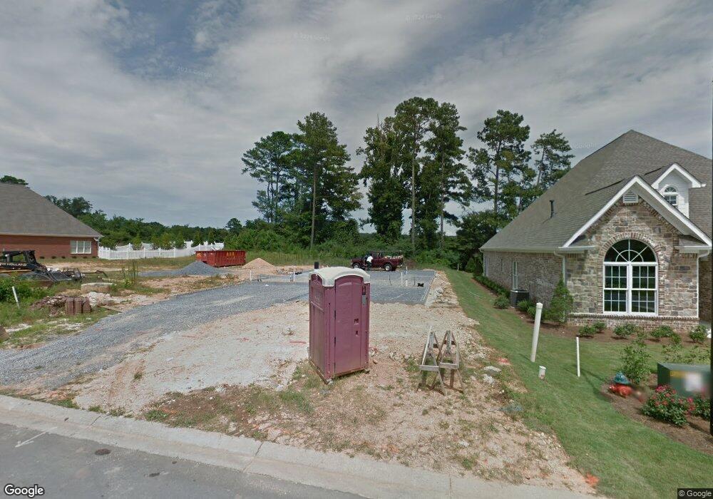
113 Lenox Rd SE Calhoun, GA 30701
Estimated Value: $383,000 - $448,000
3
Beds
2
Baths
2,536
Sq Ft
$162/Sq Ft
Est. Value
About This Home
This home is located at 113 Lenox Rd SE, Calhoun, GA 30701 and is currently estimated at $410,710, approximately $161 per square foot. 113 Lenox Rd SE is a home with nearby schools including Calhoun Primary School, Calhoun Elementary School, and Calhoun Middle School.
Ownership History
Date
Name
Owned For
Owner Type
Purchase Details
Closed on
Jan 23, 2019
Sold by
Brown Charles K
Bought by
Shuler Jeremy and Shuler Elizabeth
Current Estimated Value
Home Financials for this Owner
Home Financials are based on the most recent Mortgage that was taken out on this home.
Original Mortgage
$285,000
Outstanding Balance
$250,062
Interest Rate
4.5%
Mortgage Type
New Conventional
Estimated Equity
$160,648
Purchase Details
Closed on
Oct 3, 2014
Sold by
Brent Stepp Construction C
Bought by
Brown Charles K
Home Financials for this Owner
Home Financials are based on the most recent Mortgage that was taken out on this home.
Original Mortgage
$216,000
Interest Rate
3.25%
Mortgage Type
New Conventional
Create a Home Valuation Report for This Property
The Home Valuation Report is an in-depth analysis detailing your home's value as well as a comparison with similar homes in the area
Home Values in the Area
Average Home Value in this Area
Purchase History
| Date | Buyer | Sale Price | Title Company |
|---|---|---|---|
| Shuler Jeremy | $300,000 | -- | |
| Brown Charles K | $240,000 | -- |
Source: Public Records
Mortgage History
| Date | Status | Borrower | Loan Amount |
|---|---|---|---|
| Open | Shuler Jeremy | $285,000 | |
| Previous Owner | Brown Charles K | $216,000 |
Source: Public Records
Tax History Compared to Growth
Tax History
| Year | Tax Paid | Tax Assessment Tax Assessment Total Assessment is a certain percentage of the fair market value that is determined by local assessors to be the total taxable value of land and additions on the property. | Land | Improvement |
|---|---|---|---|---|
| 2024 | $3,998 | $142,200 | $16,000 | $126,200 |
| 2023 | $3,725 | $132,480 | $16,000 | $116,480 |
| 2022 | $1,122 | $117,880 | $15,200 | $102,680 |
| 2021 | $3,311 | $111,200 | $16,000 | $95,200 |
| 2020 | $3,105 | $103,480 | $16,000 | $87,480 |
| 2019 | $3,101 | $103,480 | $16,000 | $87,480 |
| 2018 | $980 | $101,720 | $17,600 | $84,120 |
| 2017 | $896 | $91,200 | $16,000 | $75,200 |
| 2016 | $899 | $91,200 | $16,000 | $75,200 |
| 2015 | $962 | $89,480 | $16,000 | $73,480 |
| 2014 | $837 | $84,960 | $9,520 | $75,440 |
Source: Public Records
Map
Nearby Homes
- 107 Savoy Place SE
- 220 Lenox Rd SE
- 114 Vinings Way SE
- 209 Willowbrook Dr SE
- 62 Professional Place Unit 30
- 112 Willowbrook Dr SE
- 200 Wildwood Cir SE
- 195 Dogwood Dr SE
- 202 Montclair Dr
- 104 Bobwhite Dr
- 107 Bobwhite Dr
- 105 Bobwhite Dr
- 119 Deer Park Ln
- 129 Derby Ln
- 133 Kentucky Dr NE
- 402 Linda Ln
- The Pearson Plan at Creekview
- The Coleman Plan at Creekview
- The Benson II Plan at Creekview
- 111 Lenox Rd
- 115 Lenox Rd SE
- 0 Lenox Unit 3027282
- 0 Lenox Unit 8831235
- 0 Lenox Unit 3202604
- 109 Lenox Rd SE
- 201 Lenox Rd SE
- 114 Lenox Rd SE
- 107 Lenox Rd SE
- 100 Savoy Place SE
- 203 Lenox Rd SE
- 200 Lenox Rd SE
- 105 Lenox Rd SE
- 205 Lenox Rd SE
- 103 Sophie Terrace SE
- 102 Savoy Place SE
- 202 Lenox Rd SE
- 103 Lenox Rd SE
- 207 Lenox Rd SE
- 103 Savoy Place SE
