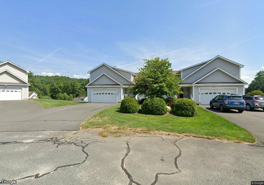
113 New Athol Rd Unit 137 Orange, MA 01364
Estimated Value: $356,000 - $451,000
2
Beds
3
Baths
1,997
Sq Ft
$199/Sq Ft
Est. Value
About This Home
This home is located at 113 New Athol Rd Unit 137, Orange, MA 01364 and is currently estimated at $398,048, approximately $199 per square foot. 113 New Athol Rd Unit 137 is a home located in Franklin County with nearby schools including Fisher Hill and Ralph C Mahar Regional School.
Ownership History
Date
Name
Owned For
Owner Type
Purchase Details
Closed on
Jan 7, 2009
Sold by
Garlock Kelly and Garlock Peter
Bought by
Garlock Kelly A
Current Estimated Value
Purchase Details
Closed on
Nov 29, 2006
Sold by
Packard-Orange Rt and Drew
Bought by
Garlock Kelly and Garlock Peter
Home Financials for this Owner
Home Financials are based on the most recent Mortgage that was taken out on this home.
Original Mortgage
$201,200
Interest Rate
6.36%
Mortgage Type
Purchase Money Mortgage
Create a Home Valuation Report for This Property
The Home Valuation Report is an in-depth analysis detailing your home's value as well as a comparison with similar homes in the area
Home Values in the Area
Average Home Value in this Area
Purchase History
| Date | Buyer | Sale Price | Title Company |
|---|---|---|---|
| Garlock Kelly A | -- | -- | |
| Garlock Kelly | $251,550 | -- |
Source: Public Records
Mortgage History
| Date | Status | Borrower | Loan Amount |
|---|---|---|---|
| Previous Owner | Garlock Kelly | $201,200 |
Source: Public Records
Tax History Compared to Growth
Tax History
| Year | Tax Paid | Tax Assessment Tax Assessment Total Assessment is a certain percentage of the fair market value that is determined by local assessors to be the total taxable value of land and additions on the property. | Land | Improvement |
|---|---|---|---|---|
| 2025 | $55 | $332,400 | $0 | $332,400 |
| 2024 | $6,094 | $349,400 | $0 | $349,400 |
| 2023 | $4,321 | $240,600 | $0 | $240,600 |
| 2022 | $4,549 | $237,900 | $0 | $237,900 |
| 2021 | $4,208 | $209,900 | $0 | $209,900 |
| 2020 | $3,853 | $189,500 | $0 | $189,500 |
| 2019 | $4,119 | $182,900 | $0 | $182,900 |
| 2018 | $4,144 | $188,900 | $0 | $188,900 |
| 2017 | $4,456 | $209,900 | $0 | $209,900 |
| 2016 | $5,123 | $236,100 | $0 | $236,100 |
| 2015 | $4,083 | $196,600 | $0 | $196,600 |
| 2014 | $3,905 | $197,800 | $0 | $197,800 |
Source: Public Records
Map
Nearby Homes
- 113 New Athol Rd Unit 14
- 113 New Athol Rd Unit 133
- 113 New Athol Rd Unit 24
- 113 New Athol Rd Unit 116
- 113 New Athol Rd Unit 15
- 113 New Athol Rd Unit 120
- 113 New Athol Rd Unit 121
- 113 New Athol Rd Unit 100
- 113 New Athol Rd Unit 104
- 113 New Athol Rd Unit 39
- 113 New Athol Rd Unit 23
- 113 New Athol Rd Unit 28
- 113 New Athol Rd Unit 44
- 113 New Athol Rd Unit 129
- 113 New Athol Rd Unit 36
- 113 New Athol Rd Unit 40
- 113 New Athol Rd Unit 32
- 113 New Athol Rd Unit 35
- 113 New Athol Rd Unit 43
- 113 New Athol Rd Unit 31