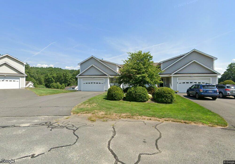
113 New Athol Rd Unit 31 Orange, MA 01364
Estimated Value: $355,663 - $450,000
2
Beds
2
Baths
1,463
Sq Ft
$271/Sq Ft
Est. Value
About This Home
This home is located at 113 New Athol Rd Unit 31, Orange, MA 01364 and is currently estimated at $396,166, approximately $270 per square foot. 113 New Athol Rd Unit 31 is a home located in Franklin County with nearby schools including Fisher Hill and Ralph C Mahar Regional School.
Ownership History
Date
Name
Owned For
Owner Type
Purchase Details
Closed on
Feb 5, 2020
Sold by
Landry Steven L and Landry Edward A
Bought by
B Peter & M A Holmes Ft and Holmes
Current Estimated Value
Purchase Details
Closed on
Nov 6, 2018
Sold by
Landry Jean E
Bought by
Landry Steven L and Landry Edward A
Purchase Details
Closed on
May 26, 2005
Sold by
Packard-Orange Rt and Drew
Bought by
Landry Harry J and Landry Jean E
Create a Home Valuation Report for This Property
The Home Valuation Report is an in-depth analysis detailing your home's value as well as a comparison with similar homes in the area
Home Values in the Area
Average Home Value in this Area
Purchase History
| Date | Buyer | Sale Price | Title Company |
|---|---|---|---|
| B Peter & M A Holmes Ft | $205,000 | None Available | |
| Landry Steven L | -- | -- | |
| Landry Harry J | $207,650 | -- |
Source: Public Records
Tax History
| Year | Tax Paid | Tax Assessment Tax Assessment Total Assessment is a certain percentage of the fair market value that is determined by local assessors to be the total taxable value of land and additions on the property. | Land | Improvement |
|---|---|---|---|---|
| 2025 | $44 | $267,800 | $0 | $267,800 |
| 2024 | $5,012 | $287,400 | $0 | $287,400 |
| 2023 | $3,610 | $201,000 | $0 | $201,000 |
| 2022 | $3,757 | $196,500 | $0 | $196,500 |
| 2021 | $3,427 | $170,900 | $0 | $170,900 |
| 2020 | $3,143 | $154,600 | $0 | $154,600 |
| 2019 | $3,364 | $149,400 | $0 | $149,400 |
| 2018 | $3,401 | $155,000 | $0 | $155,000 |
| 2017 | $3,656 | $172,200 | $0 | $172,200 |
| 2016 | $4,184 | $192,800 | $0 | $192,800 |
| 2015 | $3,747 | $180,400 | $0 | $180,400 |
| 2014 | $3,585 | $181,600 | $0 | $181,600 |
Source: Public Records
Map
Nearby Homes
- 113 New Athol Rd Unit 14
- 113 New Athol Rd Unit 133
- 113 New Athol Rd Unit 24
- 113 New Athol Rd Unit 137
- 113 New Athol Rd Unit 116
- 113 New Athol Rd Unit 15
- 113 New Athol Rd Unit 120
- 113 New Athol Rd Unit 121
- 113 New Athol Rd Unit 100
- 113 New Athol Rd Unit 104
- 113 New Athol Rd Unit 39
- 113 New Athol Rd Unit 23
- 113 New Athol Rd Unit 28
- 113 New Athol Rd Unit 44
- 113 New Athol Rd Unit 129
- 113 New Athol Rd Unit 36
- 113 New Athol Rd Unit 40
- 113 New Athol Rd Unit 32
- 113 New Athol Rd Unit 35
- 113 New Athol Rd Unit 43
Your Personal Tour Guide
Ask me questions while you tour the home.