113 Pheasant Run West Branch, IA 52358
Estimated Value: $427,000 - $670,000
3
Beds
2
Baths
2,471
Sq Ft
$213/Sq Ft
Est. Value
About This Home
This home is located at 113 Pheasant Run, West Branch, IA 52358 and is currently estimated at $525,742, approximately $212 per square foot. 113 Pheasant Run is a home located in Cedar County with nearby schools including Hoover Elementary School, West Branch Middle School, and West Branch High School.
Ownership History
Date
Name
Owned For
Owner Type
Purchase Details
Closed on
Dec 21, 2007
Sold by
Murphy Karen A
Bought by
Puhl William M and Puhl Emily J
Current Estimated Value
Home Financials for this Owner
Home Financials are based on the most recent Mortgage that was taken out on this home.
Original Mortgage
$26,550
Interest Rate
6.27%
Mortgage Type
Stand Alone Second
Create a Home Valuation Report for This Property
The Home Valuation Report is an in-depth analysis detailing your home's value as well as a comparison with similar homes in the area
Home Values in the Area
Average Home Value in this Area
Purchase History
| Date | Buyer | Sale Price | Title Company |
|---|---|---|---|
| Puhl William M | $265,500 | None Available |
Source: Public Records
Mortgage History
| Date | Status | Borrower | Loan Amount |
|---|---|---|---|
| Closed | Puhl William M | $26,550 | |
| Open | Puhl William M | $212,400 |
Source: Public Records
Tax History Compared to Growth
Tax History
| Year | Tax Paid | Tax Assessment Tax Assessment Total Assessment is a certain percentage of the fair market value that is determined by local assessors to be the total taxable value of land and additions on the property. | Land | Improvement |
|---|---|---|---|---|
| 2025 | $5,432 | $506,830 | $134,000 | $372,830 |
| 2024 | $5,432 | $433,790 | $80,000 | $353,790 |
| 2023 | $5,134 | $418,050 | $80,000 | $338,050 |
| 2022 | $4,730 | $340,390 | $57,380 | $283,010 |
| 2021 | $4,530 | $340,390 | $57,380 | $283,010 |
| 2020 | $4,410 | $302,560 | $51,000 | $251,560 |
| 2019 | $3,908 | $299,640 | $0 | $0 |
| 2018 | $3,828 | $299,640 | $0 | $0 |
| 2017 | $3,828 | $278,590 | $0 | $0 |
| 2016 | $3,930 | $278,590 | $0 | $0 |
| 2015 | $3,972 | $278,590 | $0 | $0 |
| 2014 | $3,972 | $281,150 | $0 | $0 |
Source: Public Records
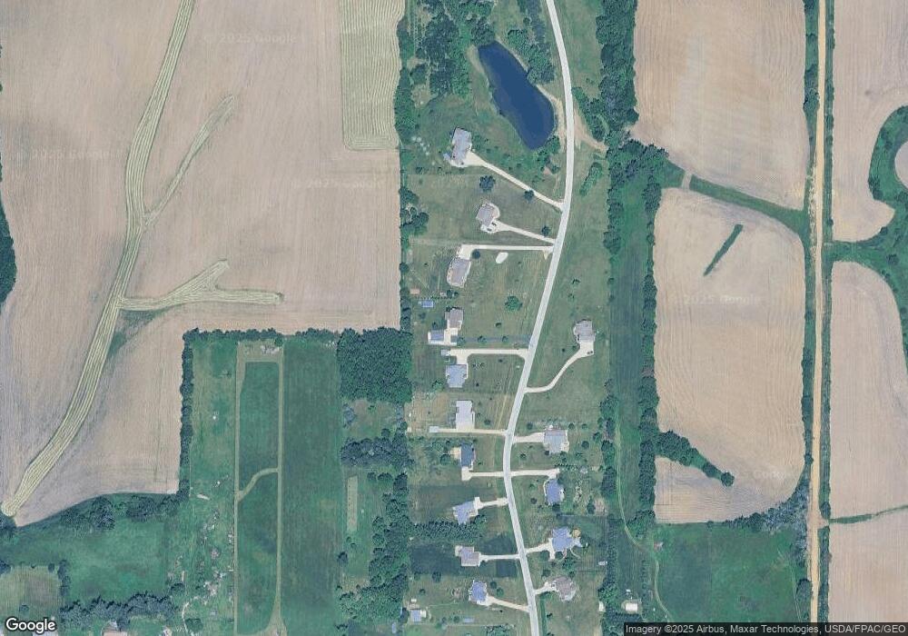
Map
Nearby Homes
- 168 290th St
- 1908 Charles Ave Lot 2
- 1912 Charles Ave Lot 3
- T.B.D. 275th St
- 557 N 4th St
- 521 N 4th St Unit Louise Court Condos
- 1924 Charles Ave Lot 6
- 1928 Charles Ave Lot 7
- 121 Northridge Dr Unit 121-139
- 1932 Charles Ave Lot 8
- 3 Grant St Unit GR3
- 426 N 1st St
- 360 Cookson Dr
- 316 S Maple St
- 33 Lou Henry Ln Unit AM33
- 35 Lou Henry Ln Unit AM35
- 127 N Downey St
- 314 Sycamore Dr
- 312 Sycamore Dr
- 316 Sycamore Dr
- 115 Pheasant Run
- 111 Pheasant Run
- 109 Pheasant Run
- 117 Pheasant Run
- 209 Pheasant Run
- 107 Pheasant Run
- 207 Pheasant Run
- 105 Pheasant Run
- 205 Pheasant Run
- 119 Pheasant Run
- 103 Pheasant Run
- 203 Pheasant Run
- Lot 2 Parkside Hills
- 101 Pheasant Run
- 201 Pheasant Run
- 121 Pheasant Run
- 181 290th St
- 183 290th St
- 173 290th St
- 1920 Charles Ave