113 Ryland Ridge Cir Huntsville, AL 35811
Ryland NeighborhoodEstimated Value: $221,227 - $295,000
2
Beds
1
Bath
--
Sq Ft
0.74
Acres
About This Home
This home is located at 113 Ryland Ridge Cir, Huntsville, AL 35811 and is currently estimated at $265,307. 113 Ryland Ridge Cir is a home located in Madison County with nearby schools including Central School and Madison County High School.
Ownership History
Date
Name
Owned For
Owner Type
Purchase Details
Closed on
Mar 20, 2020
Sold by
Southern Creek Homes Huntsville Llc
Bought by
113 Ryland Owner Llc
Current Estimated Value
Home Financials for this Owner
Home Financials are based on the most recent Mortgage that was taken out on this home.
Original Mortgage
$1,610,000
Outstanding Balance
$1,428,576
Interest Rate
3.6%
Mortgage Type
Commercial
Estimated Equity
-$1,163,269
Create a Home Valuation Report for This Property
The Home Valuation Report is an in-depth analysis detailing your home's value as well as a comparison with similar homes in the area
Home Values in the Area
Average Home Value in this Area
Purchase History
| Date | Buyer | Sale Price | Title Company |
|---|---|---|---|
| 113 Ryland Owner Llc | $2,260,000 | None Available |
Source: Public Records
Mortgage History
| Date | Status | Borrower | Loan Amount |
|---|---|---|---|
| Open | 113 Ryland Owner Llc | $1,610,000 |
Source: Public Records
Tax History Compared to Growth
Tax History
| Year | Tax Paid | Tax Assessment Tax Assessment Total Assessment is a certain percentage of the fair market value that is determined by local assessors to be the total taxable value of land and additions on the property. | Land | Improvement |
|---|---|---|---|---|
| 2024 | $1,513 | $40,940 | $5,440 | $35,500 |
| 2023 | $1,478 | $39,980 | $5,440 | $34,540 |
| 2022 | $1,387 | $38,460 | $5,440 | $33,020 |
| 2021 | $1,258 | $34,920 | $5,440 | $29,480 |
| 2020 | $1,183 | $32,860 | $5,440 | $27,420 |
| 2019 | $1,147 | $31,860 | $5,440 | $26,420 |
| 2018 | $1,071 | $29,780 | $0 | $0 |
| 2017 | $1,071 | $29,780 | $0 | $0 |
| 2016 | $1,071 | $29,780 | $0 | $0 |
| 2015 | $1,071 | $29,780 | $0 | $0 |
| 2014 | $1,061 | $29,520 | $0 | $0 |
Source: Public Records
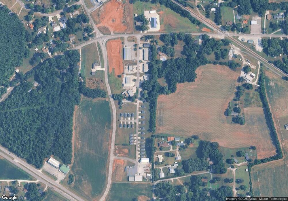
Map
Nearby Homes
- 403 Ryland Pike
- 2368 Jordan Rd
- 129 Season Ln
- 101 Dolf Leaf Ln
- 103 Dolf Leaf Ln
- 109 Dolf Leaf Ln
- 105 Dolf Leaf Ln
- Ionia III H Plan at Cedar Gap Estates
- Rodessa IV H Plan at Cedar Gap Estates
- Rodessa IV G Plan at Cedar Gap Estates
- Comstock III G Plan at Cedar Gap Estates
- Comstock III H Plan at Cedar Gap Estates
- Taft IV G Plan at Cedar Gap Estates
- Taplin III G Plan at Cedar Gap Estates
- Crosby III H Plan at Cedar Gap Estates
- Crosby III S Plan at Cedar Gap Estates
- Ionia III G Plan at Cedar Gap Estates
- Johnson IV H Plan at Cedar Gap Estates
- 232 Pops Corner
- 215 Teague Rd
- 108 Ryland Ridge Cir
- 300 Ryland Pike
- 240 Ryland Pike
- 150 Parton Dr
- 328 Ryland Pike
- 281 Ryland Pike
- 115 Ryland Ridge Cir Unit 28
- 115 Ryland Ridge Cir Unit 23
- 115 Ryland Ridge Cir Unit 5
- 115 Ryland Ridge Cir Unit 7
- 115 Ryland Ridge Cir Unit 12
- 115 Ryland Ridge Cir Unit 2
- 115 Ryland Ridge Cir Unit 10
- 115 Ryland Ridge Cir Unit 4
- 115 Ryland Ridge Cir
- 115 Ryland Ridge Cir Unit 32
- 115 Ryland Ridge Cir Unit 29
- 115 Ryland Ridge Cir Unit 3
- 115 Ryland Ridge Cir Unit 8
- 115 Ryland Ridge Cir Unit 34