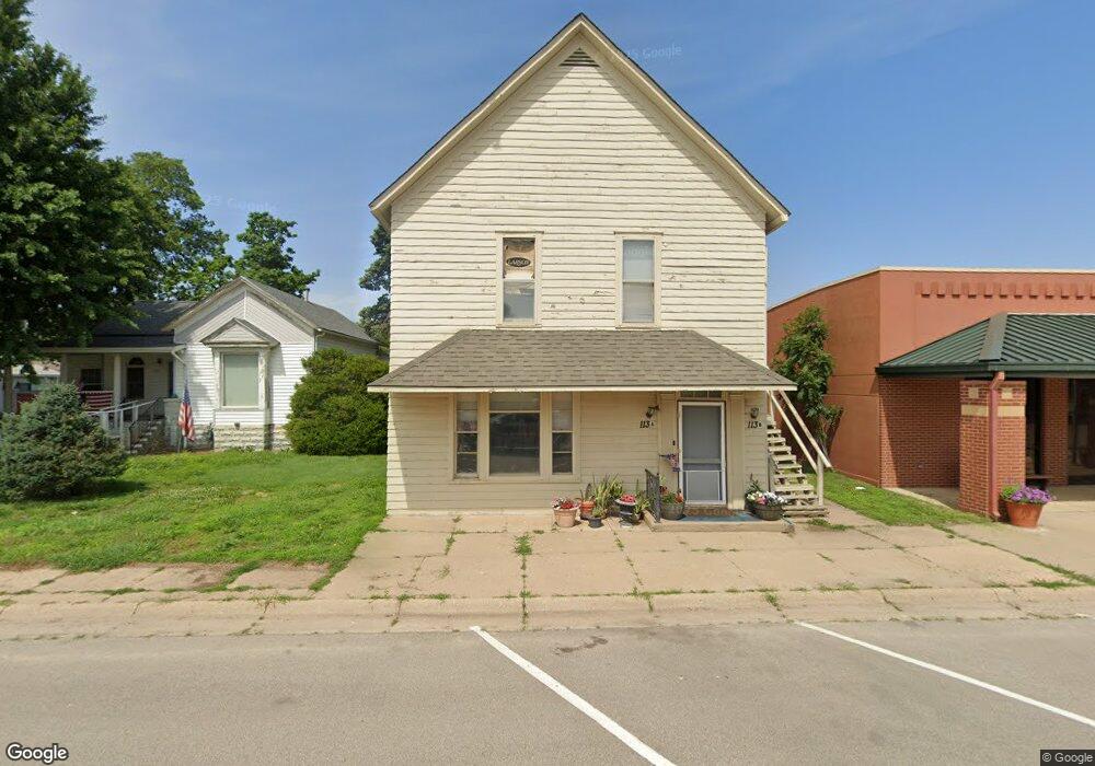
113 S Ohio St Unit A Mount Hope, KS 67108
Estimated Value: $129,000 - $146,860
2
Beds
1
Bath
--
Sq Ft
4,095
Sq Ft Lot
About This Home
This home is located at 113 S Ohio St Unit A, Mount Hope, KS 67108 and is currently estimated at $137,930. 113 S Ohio St Unit A is a home located in Sedgwick County.
Ownership History
Date
Name
Owned For
Owner Type
Purchase Details
Closed on
May 11, 2021
Sold by
Stussy Perry A and Stussy Darla
Bought by
Ict Airbenders Llc
Current Estimated Value
Home Financials for this Owner
Home Financials are based on the most recent Mortgage that was taken out on this home.
Original Mortgage
$77,600
Outstanding Balance
$70,325
Interest Rate
3.1%
Mortgage Type
Future Advance Clause Open End Mortgage
Estimated Equity
$67,605
Purchase Details
Closed on
Mar 14, 2006
Sold by
L & P Investment Llc
Bought by
Stussy Perry A
Home Financials for this Owner
Home Financials are based on the most recent Mortgage that was taken out on this home.
Original Mortgage
$500,000
Interest Rate
6.19%
Mortgage Type
New Conventional
Create a Home Valuation Report for This Property
The Home Valuation Report is an in-depth analysis detailing your home's value as well as a comparison with similar homes in the area
Home Values in the Area
Average Home Value in this Area
Purchase History
| Date | Buyer | Sale Price | Title Company |
|---|---|---|---|
| Ict Airbenders Llc | -- | Security 1St Title Llc | |
| Stussy Perry A | -- | None Available |
Source: Public Records
Mortgage History
| Date | Status | Borrower | Loan Amount |
|---|---|---|---|
| Open | Ict Airbenders Llc | $77,600 | |
| Previous Owner | Stussy Perry A | $500,000 |
Source: Public Records
Tax History Compared to Growth
Tax History
| Year | Tax Paid | Tax Assessment Tax Assessment Total Assessment is a certain percentage of the fair market value that is determined by local assessors to be the total taxable value of land and additions on the property. | Land | Improvement |
|---|---|---|---|---|
| 2025 | $1,569 | $11,247 | $2,231 | $9,016 |
| 2023 | $1,569 | $11,247 | $1,771 | $9,476 |
| 2022 | $1,237 | $8,764 | $1,668 | $7,096 |
| 2021 | $1,592 | $11,432 | $1,415 | $10,017 |
| 2020 | $1,513 | $11,098 | $1,415 | $9,683 |
| 2019 | $1,444 | $10,569 | $1,415 | $9,154 |
| 2018 | $1,423 | $10,063 | $472 | $9,591 |
| 2017 | $1,332 | $0 | $0 | $0 |
| 2016 | $1,321 | $0 | $0 | $0 |
| 2015 | -- | $0 | $0 | $0 |
| 2014 | -- | $0 | $0 | $0 |
Source: Public Records
Map
Nearby Homes
- 316 N Daily Rd
- 7 Woodland Ct
- 5 Woodland Ct
- Lot 4 Block 2 W Drover's Ln
- Lot 5 Block 2 W Drover's Ln
- Lot 2 Block 2 W Drover's Ln
- Lot 10 Block 2 W Drover's Ln
- Lot 3 Block 2 W Drover's Ln
- 28.03 - Acres N 279th St W
- 37.85 + - Acres N 279th St W
- 65.88 + - Acres N 279th St W
- 22015 W 101st St N
- 12000 N 199th St W
- 6220 N 247th St W
- 102 Finch Ct
- 0000 Silvers St
- 505 E 2nd St
- 101 S Salina St
- 512 E Main St
- 21105 SW 72nd St