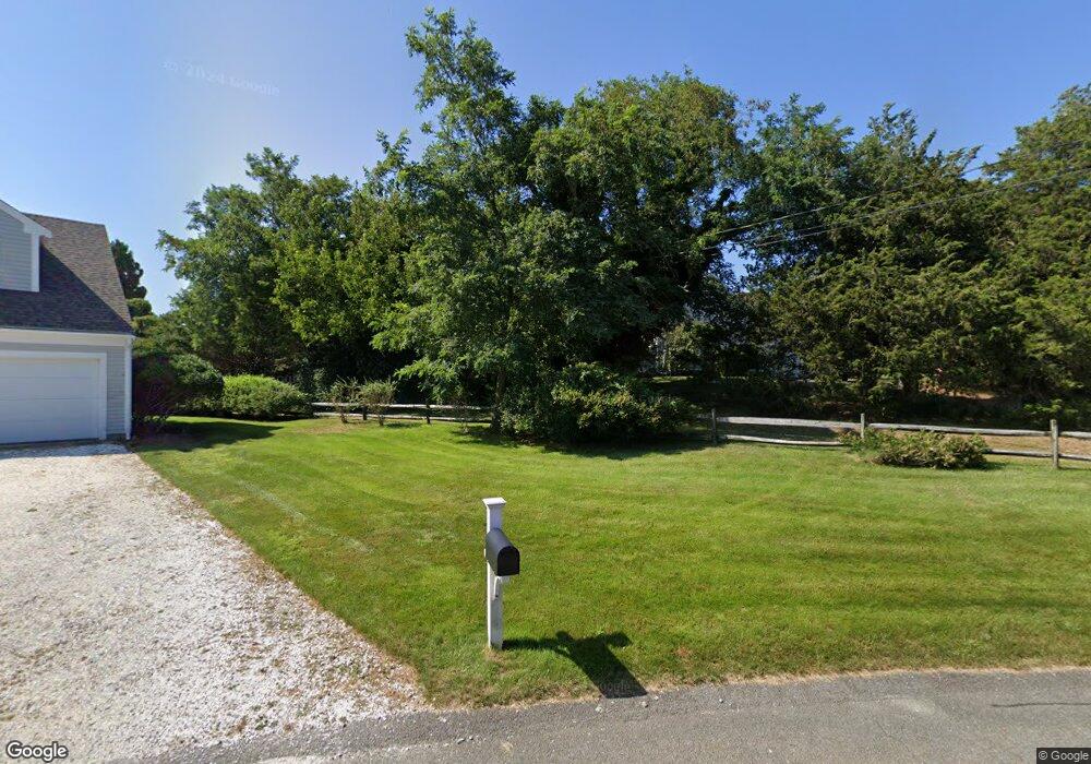
113 Seastrand Way Chatham, MA 02633
West Chatham NeighborhoodEstimated Value: $2,259,000 - $3,015,000
3
Beds
3
Baths
1,886
Sq Ft
$1,422/Sq Ft
Est. Value
About This Home
This home is located at 113 Seastrand Way, Chatham, MA 02633 and is currently estimated at $2,682,382, approximately $1,422 per square foot. 113 Seastrand Way is a home located in Barnstable County with nearby schools including Chatham Elementary School, Harwich Elementary School, and Monomoy Regional Middle School.
Ownership History
Date
Name
Owned For
Owner Type
Purchase Details
Closed on
Sep 1, 2011
Sold by
Lincoln Ellenmarie and Lincoln Robert
Bought by
Lincoln Quincy T
Current Estimated Value
Home Financials for this Owner
Home Financials are based on the most recent Mortgage that was taken out on this home.
Original Mortgage
$321,000
Interest Rate
4.49%
Mortgage Type
Purchase Money Mortgage
Purchase Details
Closed on
Jul 22, 2011
Sold by
Lincoln Quincy T
Bought by
Lincoln Ellenmarie and Lincoln Robert
Home Financials for this Owner
Home Financials are based on the most recent Mortgage that was taken out on this home.
Original Mortgage
$321,000
Interest Rate
4.49%
Mortgage Type
Purchase Money Mortgage
Purchase Details
Closed on
Jan 21, 2010
Sold by
Lincoln Robert E and Lincoln Ellenmarie
Bought by
Lincoln Quincy T
Home Financials for this Owner
Home Financials are based on the most recent Mortgage that was taken out on this home.
Original Mortgage
$340,000
Interest Rate
4.79%
Mortgage Type
Purchase Money Mortgage
Purchase Details
Closed on
Mar 16, 2005
Sold by
Lincoln Exchange T
Bought by
Lincoln Quincy T
Purchase Details
Closed on
Dec 17, 2004
Sold by
Wellings Anne Williams and Wellings Irving M
Bought by
Lincoln Exchange T and Exchange Authority Llp
Home Financials for this Owner
Home Financials are based on the most recent Mortgage that was taken out on this home.
Original Mortgage
$500,000
Interest Rate
5.68%
Mortgage Type
Purchase Money Mortgage
Purchase Details
Closed on
Jun 6, 1990
Sold by
Schumacher Judith B
Bought by
Wellings Irving M
Purchase Details
Closed on
Oct 3, 1988
Sold by
Stiles Donald C
Bought by
Christian Joseph J
Purchase Details
Closed on
Jul 1, 1988
Sold by
Stiles Donald C
Bought by
Mosquito Cove Rt
Create a Home Valuation Report for This Property
The Home Valuation Report is an in-depth analysis detailing your home's value as well as a comparison with similar homes in the area
Home Values in the Area
Average Home Value in this Area
Purchase History
| Date | Buyer | Sale Price | Title Company |
|---|---|---|---|
| Lincoln Quincy T | -- | -- | |
| Lincoln Ellenmarie | -- | -- | |
| Lincoln Quincy T | -- | -- | |
| Lincoln Robert E | -- | -- | |
| Lincoln Quincy T | -- | -- | |
| Lincoln Exchange T | $720,000 | -- | |
| Wellings Irving M | $264,750 | -- | |
| Christian Joseph J | $125,000 | -- | |
| Mosquito Cove Rt | $255,000 | -- |
Source: Public Records
Mortgage History
| Date | Status | Borrower | Loan Amount |
|---|---|---|---|
| Closed | Lincoln Ellenmarie | $321,000 | |
| Previous Owner | Lincoln Robert E | $340,000 | |
| Previous Owner | Lincoln Exchange T | $500,000 | |
| Previous Owner | Lincoln Exchange T | $220,000 | |
| Previous Owner | Mosquito Cove Rt | $75,000 | |
| Previous Owner | Mosquito Cove Rt | $25,000 |
Source: Public Records
Tax History Compared to Growth
Tax History
| Year | Tax Paid | Tax Assessment Tax Assessment Total Assessment is a certain percentage of the fair market value that is determined by local assessors to be the total taxable value of land and additions on the property. | Land | Improvement |
|---|---|---|---|---|
| 2025 | $9,206 | $2,653,000 | $543,200 | $2,109,800 |
| 2024 | $9,510 | $2,663,900 | $512,500 | $2,151,400 |
| 2023 | $8,849 | $2,280,600 | $427,000 | $1,853,600 |
| 2022 | $7,807 | $1,689,900 | $427,000 | $1,262,900 |
| 2021 | $7,540 | $1,514,100 | $363,900 | $1,150,200 |
| 2020 | $7,246 | $1,503,400 | $339,600 | $1,163,800 |
| 2019 | $7,355 | $1,516,500 | $340,200 | $1,176,300 |
| 2018 | $6,662 | $1,368,000 | $340,200 | $1,027,800 |
| 2017 | $6,743 | $1,340,500 | $330,200 | $1,010,300 |
| 2016 | $6,657 | $1,326,000 | $323,800 | $1,002,200 |
| 2015 | $6,483 | $1,299,100 | $314,600 | $984,500 |
| 2014 | $6,356 | $1,251,200 | $314,600 | $936,600 |
Source: Public Records
Map
Nearby Homes
- 144 Barn Hill Rd
- 29 Jessies Landing
- 0 George Ryder Rd Unit 73104629
- 0 George Ryder Rd Unit 22301591
- 200 Hardings Beach Rd
- 1761 Main St
- 78 Indian Trail
- 92 Indian Trail
- 44 Buena Vista Rd
- 14 Pond View Ln
- 22 Pine Knoll Ave
- 36 Moonbeam Ln
- 0 Evergreen Ln
- 99 Uncle Alberts Drive Extension
- 287 Cedar St
- 56 Skyline Dr
- 46 Chippingstone Rd
- 85 Cedar St
- 28 Lakeview Ave
- 207 Horizon Dr
- 113 Seastrand Ln
- 110 Seastrand Way
- 24 Youngs Farm Ln
- 60 Youngs Rd
- 60 Youngs Rd Unit 7
- 28 Youngs Farm Ln
- 9 Seastrand Ln
- 0 Youngs Farm Ln
- 99 Seastrand Way
- 65 Youngs Rd
- 96 Seastrand Way
- 65 Youngs Rd
- 68 Youngs Rd
- 48 Youngs Rd
- 48 Youngs Rd Unit 5
- 15 Seastrand Ln
- 87 Seastrand Way
- 21 Youngs Farm Ln
- 12 Seastrand Way Unit 2
- 14 Seastrand Way Unit 4