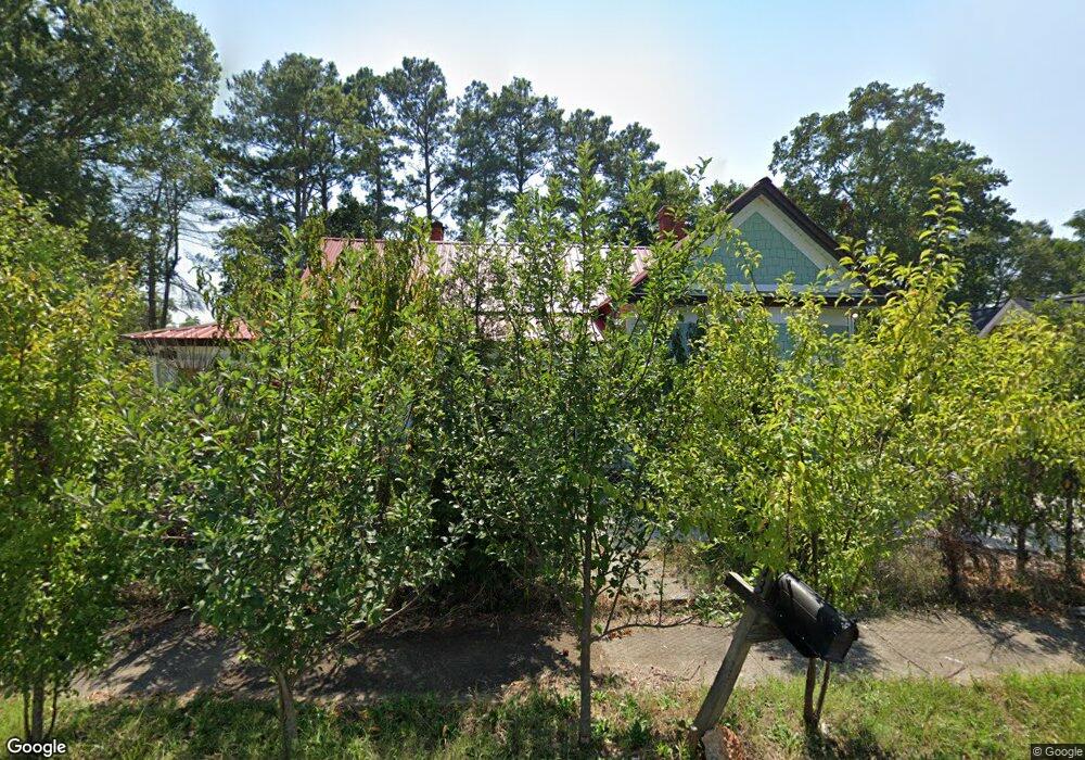
113 Simmons St Anderson, SC 29625
Estimated Value: $115,000 - $293,000
3
Beds
5
Baths
1,894
Sq Ft
$121/Sq Ft
Est. Value
About This Home
This home is located at 113 Simmons St, Anderson, SC 29625 and is currently estimated at $229,000, approximately $120 per square foot. 113 Simmons St is a home located in Anderson County with nearby schools including Centerville Elementary School, Westside High School, and Anderson Institute of Technology.
Ownership History
Date
Name
Owned For
Owner Type
Purchase Details
Closed on
Oct 11, 2017
Sold by
Vernon Kayla and Vernon Charles
Bought by
Olivares Delgado Vadal and Diaz Norma
Current Estimated Value
Purchase Details
Closed on
Oct 29, 2012
Sold by
Teasley Martha
Bought by
Vernon Kayla and Vernon Charles
Purchase Details
Closed on
Oct 23, 2012
Sold by
Adams Anthony
Bought by
Teasley Martha
Purchase Details
Closed on
May 12, 2011
Sold by
Estate Of James Haskell Adams and Adams Anthony Haskell
Bought by
Adams Anthony Haskell and Brown Jennifer A
Purchase Details
Closed on
Dec 13, 2004
Sold by
Moon Montez C
Bought by
Adams Jeanette C and Teasley Martha C
Create a Home Valuation Report for This Property
The Home Valuation Report is an in-depth analysis detailing your home's value as well as a comparison with similar homes in the area
Home Values in the Area
Average Home Value in this Area
Purchase History
| Date | Buyer | Sale Price | Title Company |
|---|---|---|---|
| Olivares Delgado Vadal | $15,000 | None Available | |
| Vernon Kayla | -- | -- | |
| Teasley Martha | -- | -- | |
| Adams Anthony Haskell | -- | -- | |
| Adams James Haskell | -- | -- | |
| Adams Jeanette C | -- | -- | |
| Moon Montez C | -- | -- |
Source: Public Records
Tax History Compared to Growth
Tax History
| Year | Tax Paid | Tax Assessment Tax Assessment Total Assessment is a certain percentage of the fair market value that is determined by local assessors to be the total taxable value of land and additions on the property. | Land | Improvement |
|---|---|---|---|---|
| 2024 | $5,811 | $17,810 | $220 | $17,590 |
| 2023 | $5,811 | $17,810 | $220 | $17,590 |
| 2022 | $387 | $1,030 | $220 | $810 |
| 2021 | $361 | $880 | $210 | $670 |
| 2020 | $354 | $880 | $210 | $670 |
| 2019 | $354 | $880 | $210 | $670 |
| 2018 | $350 | $880 | $210 | $670 |
| 2017 | -- | $850 | $140 | $710 |
| 2016 | $167 | $830 | $180 | $650 |
| 2015 | $167 | $830 | $180 | $650 |
| 2014 | $163 | $1,240 | $270 | $970 |
Source: Public Records
Map
Nearby Homes
- 1004 Raymond Ave
- 2 P St
- 600 Rogers St
- 1401 Evergreen St
- 710 W Mauldin St
- 805 Blair St
- 1922 Dobbins Ave
- 1721 Martin Ave
- 1710 Martin Ave
- 213 Oneal Dr
- 1202 & 1204 Evergreen St
- 314 J St
- 1808 Edgewood Ave
- 214 Boyce St
- 119 Mcclure Dr
- 106 Westminster Ave
- 1212 W End Ave
- 300 Strickland Ave
- 409 Fairfax St
- 405 Fairfax St