113 Thompson Cir Tallahassee, FL 32312
Northwest Tallahassee NeighborhoodEstimated Value: $146,768 - $215,000
3
Beds
1
Bath
844
Sq Ft
$220/Sq Ft
Est. Value
About This Home
This home is located at 113 Thompson Cir, Tallahassee, FL 32312 and is currently estimated at $185,942, approximately $220 per square foot. 113 Thompson Cir is a home located in Leon County with nearby schools including Hawks Rise Elementary School, Deerlake Middle School, and Lawton Chiles High School.
Ownership History
Date
Name
Owned For
Owner Type
Purchase Details
Closed on
Mar 14, 2023
Sold by
Corry Joanna and Corry Henry
Bought by
Corry Llc
Current Estimated Value
Purchase Details
Closed on
Nov 9, 2010
Sold by
Wells Fargo Bank Na
Bought by
Corry Joanna and Corry Henry
Purchase Details
Closed on
Oct 22, 2009
Sold by
Freeman Lloyd H and Freeman Margaret V
Bought by
Wachovia Bank National Association
Purchase Details
Closed on
Sep 7, 1999
Sold by
Skofronick James G and Skofronick Dorothy N
Bought by
Freeman Lloyd and Freeman Margaret
Home Financials for this Owner
Home Financials are based on the most recent Mortgage that was taken out on this home.
Original Mortgage
$35,700
Interest Rate
7.73%
Purchase Details
Closed on
Feb 5, 1999
Sold by
Lott Kevin L and Lott Denise A
Bought by
Loveless Douglas W
Purchase Details
Closed on
Feb 6, 1996
Sold by
Steen Kenneth C and Steen John Howard
Bought by
Skofronick James G and Skofronick Dorothy N
Create a Home Valuation Report for This Property
The Home Valuation Report is an in-depth analysis detailing your home's value as well as a comparison with similar homes in the area
Home Values in the Area
Average Home Value in this Area
Tax History Compared to Growth
Tax History
| Year | Tax Paid | Tax Assessment Tax Assessment Total Assessment is a certain percentage of the fair market value that is determined by local assessors to be the total taxable value of land and additions on the property. | Land | Improvement |
|---|---|---|---|---|
| 2024 | $1,554 | $96,449 | $6,500 | $89,949 |
| 2023 | $1,492 | $91,016 | $0 | $0 |
| 2022 | $1,358 | $86,004 | $6,500 | $79,504 |
| 2021 | $1,260 | $75,220 | $6,500 | $68,720 |
| 2020 | $1,151 | $69,311 | $5,000 | $64,311 |
| 2019 | $1,121 | $66,311 | $5,000 | $61,311 |
| 2018 | $1,274 | $63,455 | $5,000 | $58,455 |
| 2017 | $1,223 | $59,222 | $0 | $0 |
| 2016 | $1,208 | $58,957 | $0 | $0 |
| 2015 | $1,145 | $56,450 | $0 | $0 |
| 2014 | $1,145 | $53,999 | $0 | $0 |
Source: Public Records
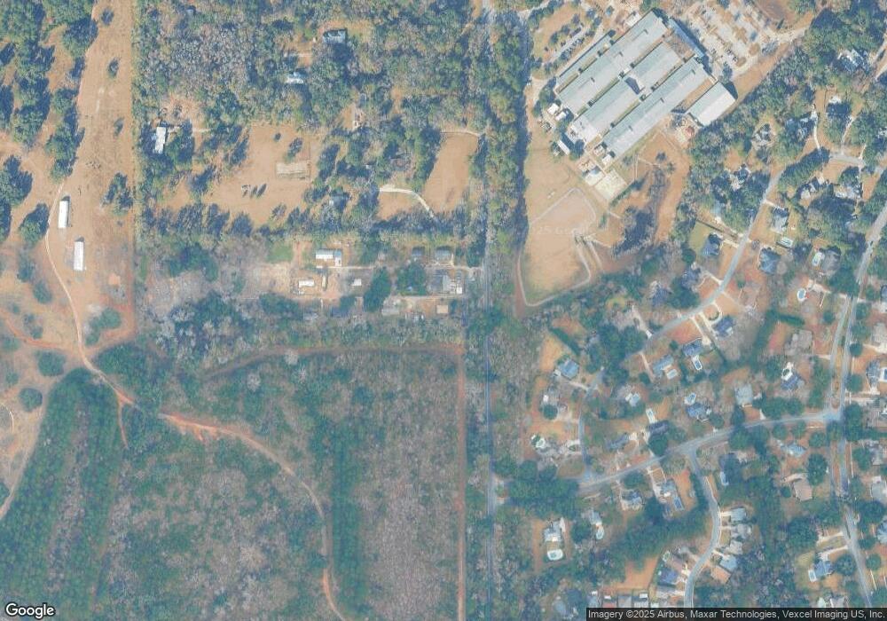
Map
Nearby Homes
- 120 China Doll Dr
- 211 Meadow Ridge Dr
- 225 China Doll Dr
- 163 Sugar Plum Dr
- 315 Milestone Dr
- 150 Meadow Ridge Dr
- 6280 Whittondale Dr
- 6328 Mallard Trace Dr
- 227 Thornberg Dr
- 250 Thornberg Dr Unit 2
- 380 Meadow Ridge Dr
- 413 Meadow Ridge Dr
- 438 Meadow Ridge Dr
- 0 Heritage Ridge Rd Unit II
- 283 Rosehill Dr E
- 405 Holly Hill Ct
- 7502 Refuge Rd
- 7042 Dardwood Ln
- 7620 Preservation Rd
- 0 N Meridian Rd Unit 391766
- 120 Thompson Cir
- 125 Thompson Cir
- 0 Thompson Cir
- 245 Thompson Cir
- 126 Thompson Cir
- 251 Thompson Cir
- 239 Thompson Cir
- 137 Thompson Cir
- 211 Thompson Cir
- 6110 Borderline Dr Unit 1
- 6110 Borderline Dr
- 6104 Borderline Dr
- 6114 Borderline Dr
- 6390 N Meridian Rd
- 6400 N Meridian Rd
- 00 Thompson Cir
- 6100 Borderline Dr
- 6118 Borderline Dr Unit 1
- 6118 Borderline Dr
- 6109 Borderline Dr