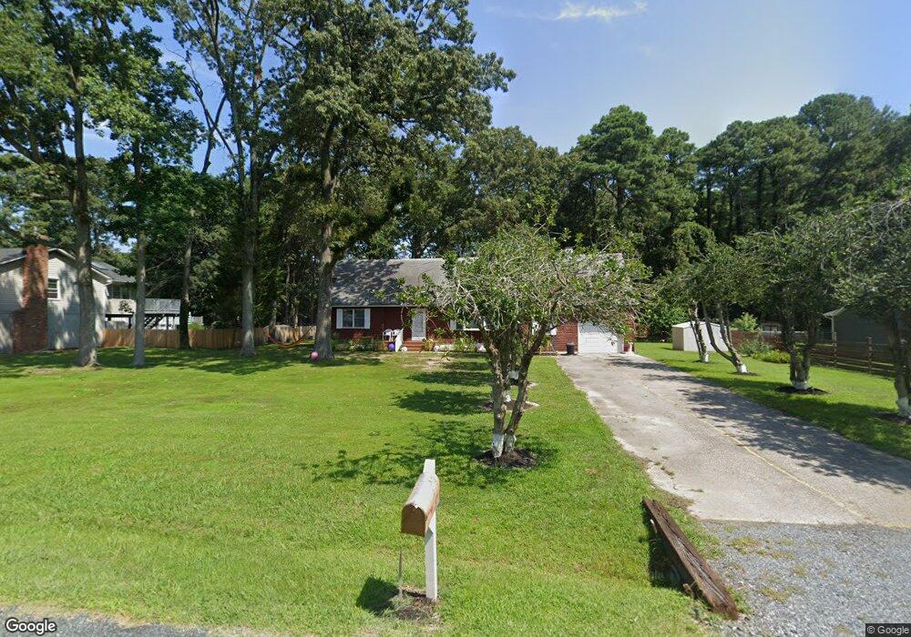
113 Worcester Rd Stevensville, MD 21666
Romancoke NeighborhoodEstimated Value: $422,997 - $611,000
Studio
2
Baths
2,427
Sq Ft
$204/Sq Ft
Est. Value
About This Home
This home is located at 113 Worcester Rd, Stevensville, MD 21666 and is currently estimated at $494,999, approximately $203 per square foot. 113 Worcester Rd is a home located in Queen Anne's County with nearby schools including Matapeake Elementary School, Matapeake Middle School, and Kent Island High School.
Ownership History
Date
Name
Owned For
Owner Type
Purchase Details
Closed on
Aug 31, 2010
Sold by
Seward Barbara J
Bought by
Baker Laura H
Current Estimated Value
Purchase Details
Closed on
Aug 10, 1989
Sold by
Shikoski Floyd Y and Shikoski Frances A
Bought by
Seward Barbara J
Home Financials for this Owner
Home Financials are based on the most recent Mortgage that was taken out on this home.
Original Mortgage
$87,000
Interest Rate
9.68%
Create a Home Valuation Report for This Property
The Home Valuation Report is an in-depth analysis detailing your home's value as well as a comparison with similar homes in the area
Home Values in the Area
Average Home Value in this Area
Purchase History
| Date | Buyer | Sale Price | Title Company |
|---|---|---|---|
| Baker Laura H | -- | None Available | |
| Seward Barbara J | $92,000 | -- |
Source: Public Records
Mortgage History
| Date | Status | Borrower | Loan Amount |
|---|---|---|---|
| Previous Owner | Seward Barbara J | $87,000 |
Source: Public Records
Tax History
| Year | Tax Paid | Tax Assessment Tax Assessment Total Assessment is a certain percentage of the fair market value that is determined by local assessors to be the total taxable value of land and additions on the property. | Land | Improvement |
|---|---|---|---|---|
| 2025 | $3,290 | $376,500 | $0 | $0 |
| 2024 | $3,118 | $345,000 | $0 | $0 |
| 2023 | $2,953 | $313,500 | $152,000 | $161,500 |
| 2022 | $2,889 | $306,700 | $0 | $0 |
| 2021 | $2,871 | $299,900 | $0 | $0 |
| 2020 | $2,871 | $293,100 | $132,000 | $161,100 |
| 2019 | $7,616 | $293,100 | $132,000 | $161,100 |
| 2018 | $2,811 | $293,100 | $132,000 | $161,100 |
| 2017 | $2,928 | $302,800 | $0 | $0 |
| 2016 | -- | $299,033 | $0 | $0 |
| 2015 | $1,377 | $295,267 | $0 | $0 |
| 2014 | $1,377 | $291,500 | $0 | $0 |
Source: Public Records
Map
Nearby Homes
- 101 Oak St
- 116 Mallard Dr
- 610 Elm St
- Lot 49-50 Bay Dr
- 326 S Carolina Rd
- 346 Oregon Rd
- 104 Cecil Rd
- 414 Bay Dr
- Lot 1 - E/Kent Point Romancoke
- 211 Queen Anne Rd
- 9401 Romancoke Rd
- 122 Queen Anne Rd
- 122 N Lake Dr
- 114 N Lake Dr
- 313 Columbia Ln
- 117 Howard Rd
- 312 Columbia Ln
- 132 Pennick Dr
- 410 5 Farms Dr
- 145 N Lake Dr
- 109 Worcester Rd
- 121 Worcester Rd
- 105 Worcester Rd
- 116 Worcester Rd
- 114 Worcester Rd
- 118 Worcester Rd
- 106 Worcester Rd
- 127 Worcester Rd
- 112 Saint Marys Rd
- 110 Saint Marys Rd
- 7801 Romancoke Rd
- 128 Worcester Rd
- 102 Worcester Rd
- 129 Worcester Rd
- 130 Worcester Rd
- 109 Talbot Rd
- 29 New Jersey Rd
- 12 New Jersey Rd
- 117 Talbot Rd
- 107 Talbot Rd
Your Personal Tour Guide
Ask me questions while you tour the home.