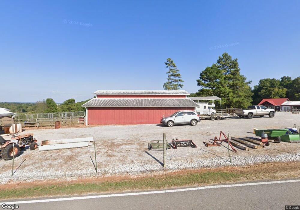
1130 Simpson Rd Sparta, TN 38583
Estimated Value: $294,000 - $304,000
1
Bed
1
Bath
405
Sq Ft
$741/Sq Ft
Est. Value
About This Home
This home is located at 1130 Simpson Rd, Sparta, TN 38583 and is currently estimated at $299,948, approximately $740 per square foot. 1130 Simpson Rd is a home located in White County with nearby schools including Cassville Elementary School, White County Middle School, and White County High School.
Ownership History
Date
Name
Owned For
Owner Type
Purchase Details
Closed on
Nov 4, 2021
Sold by
Wilson Nicholas Todd and Estate Of Joe K Willsion
Bought by
Wilson Nicholas Todd and Wilson Christopher J
Current Estimated Value
Purchase Details
Closed on
Oct 22, 2021
Sold by
Wilson Christopher J
Bought by
Girdley William Jay and Girdley Sonja Beth
Purchase Details
Closed on
Oct 8, 2021
Sold by
Wilson Nicholas Todd and Estate Of Joe Wilson
Bought by
Girdley William Jay and Girdley Sonja Beth
Purchase Details
Closed on
Jan 1, 1962
Create a Home Valuation Report for This Property
The Home Valuation Report is an in-depth analysis detailing your home's value as well as a comparison with similar homes in the area
Home Values in the Area
Average Home Value in this Area
Purchase History
| Date | Buyer | Sale Price | Title Company |
|---|---|---|---|
| Wilson Nicholas Todd | -- | None Available | |
| Girdley William Jay | -- | None Available | |
| Girdley William Jay | $205,000 | None Available | |
| -- | -- | -- |
Source: Public Records
Tax History Compared to Growth
Tax History
| Year | Tax Paid | Tax Assessment Tax Assessment Total Assessment is a certain percentage of the fair market value that is determined by local assessors to be the total taxable value of land and additions on the property. | Land | Improvement |
|---|---|---|---|---|
| 2024 | $1,320 | $64,375 | $15,100 | $49,275 |
| 2023 | $1,320 | $64,375 | $15,100 | $49,275 |
| 2022 | $1,087 | $53,000 | $15,100 | $37,900 |
| 2021 | $978 | $53,000 | $15,100 | $37,900 |
| 2020 | $978 | $47,725 | $9,825 | $37,900 |
| 2019 | $938 | $45,750 | $8,700 | $37,050 |
| 2018 | $938 | $45,750 | $8,700 | $37,050 |
| 2017 | $938 | $45,750 | $8,700 | $37,050 |
| 2016 | $938 | $45,750 | $8,700 | $37,050 |
| 2015 | $840 | $45,425 | $7,875 | $37,550 |
| 2014 | -- | $36,850 | $6,525 | $30,325 |
| 2013 | -- | $27,075 | $6,075 | $21,000 |
Source: Public Records
Map
Nearby Homes
- 519 John McCoin Rd
- 121 Hutchings College Rd
- 8444 Old Kentucky Rd
- 753 John McCoin Rd
- 8565 Old Kentucky Rd
- 6444 Old Smithville Hwy S
- 6277 Old Smithville Hwy S
- 6311 Old Smithville Hwy S
- 481 Ballard Ln
- 288 Westwood Dr
- 15385 Old Kentucky Rd
- 156 Will Thompson Rd
- 170 Will Thompson Rd
- 436 Westwood Dr
- 574 Boyd Creek Rd
- 0 Liberty Rd
- 2001 Liberty Rd
- 1153 Simpson Rd
- 1210 Simpson Rd
- 109 Tulip Dr
- 1001 Simpson Rd
- 1254 Simpson Rd
- 869 Hutchings College Rd
- 1010 Simpson Rd
- 152 Tulip Dr
- 00 Tulip Dr
- 310 Tulip Dr
- 1185 Hutchings College Rd
- 895 Simpson Rd
- 796 Simpson Rd
- 799 Simpson Rd
- 1060 Hutchings College Rd
- 1367 Hutchings College Rd
- 1297 Hutchings College Rd
- 1205 Hutchings College Rd
- 0 Simpson Rd Unit 126154
- 0 Simpson Rd Unit 213206