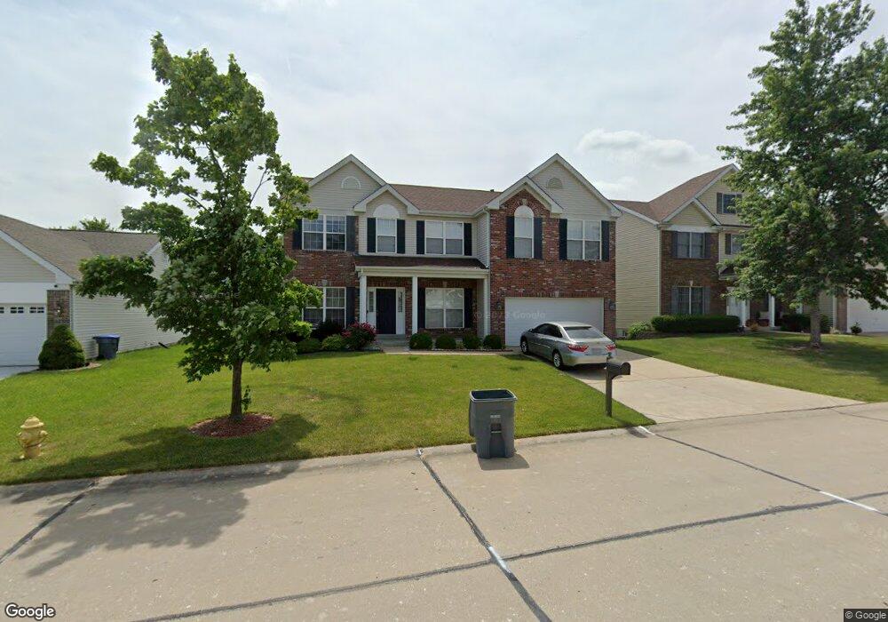
1130 Spring Orchard Dr O Fallon, MO 63368
Estimated Value: $422,000 - $509,000
4
Beds
3
Baths
2,939
Sq Ft
$157/Sq Ft
Est. Value
About This Home
This home is located at 1130 Spring Orchard Dr, O Fallon, MO 63368 and is currently estimated at $460,091, approximately $156 per square foot. 1130 Spring Orchard Dr is a home located in St. Charles County with nearby schools including Pheasant Point Elementary School, Fort Zumwalt South Middle School, and Fort Zumwalt South High School.
Ownership History
Date
Name
Owned For
Owner Type
Purchase Details
Closed on
Aug 13, 2004
Sold by
Taylor Morley Inc
Bought by
Kalathil Hari and Kalathil Lekshmi
Current Estimated Value
Home Financials for this Owner
Home Financials are based on the most recent Mortgage that was taken out on this home.
Original Mortgage
$202,390
Outstanding Balance
$94,631
Interest Rate
5.25%
Mortgage Type
New Conventional
Estimated Equity
$365,460
Create a Home Valuation Report for This Property
The Home Valuation Report is an in-depth analysis detailing your home's value as well as a comparison with similar homes in the area
Home Values in the Area
Average Home Value in this Area
Purchase History
| Date | Buyer | Sale Price | Title Company |
|---|---|---|---|
| Kalathil Hari | $252,988 | Ust |
Source: Public Records
Mortgage History
| Date | Status | Borrower | Loan Amount |
|---|---|---|---|
| Open | Kalathil Hari | $202,390 | |
| Closed | Kalathil Hari | $25,299 |
Source: Public Records
Tax History
| Year | Tax Paid | Tax Assessment Tax Assessment Total Assessment is a certain percentage of the fair market value that is determined by local assessors to be the total taxable value of land and additions on the property. | Land | Improvement |
|---|---|---|---|---|
| 2025 | $5,146 | $82,842 | -- | -- |
| 2024 | $5,146 | $77,997 | -- | -- |
| 2023 | $5,148 | $77,997 | -- | -- |
| 2022 | $4,049 | $56,984 | $0 | $0 |
| 2021 | $4,052 | $56,984 | $0 | $0 |
| 2020 | $4,012 | $54,643 | $0 | $0 |
| 2019 | $4,021 | $54,643 | $0 | $0 |
| 2018 | $4,207 | $54,610 | $0 | $0 |
| 2017 | $4,161 | $54,610 | $0 | $0 |
| 2016 | $3,928 | $51,348 | $0 | $0 |
| 2015 | $3,651 | $51,348 | $0 | $0 |
| 2014 | $2,862 | $39,548 | $0 | $0 |
Source: Public Records
Map
Nearby Homes
- 178 Christina Marie Dr
- 249 Dardenne Farms Dr
- 26 Dalton Valley Dr
- 67 Simeon Ct
- 661 Clifton Hill Dr
- 3 Royallbend Ct
- 2726 Brook Meadow Ln
- 367 Shamrock St
- 361 Shamrock St
- 93 Arapahoe Basin Ct
- 2136 Farnsworth Dr Unit D
- 2628 Breckenridge Cir
- 2 the Durango at the Grove
- 1319 Commons Cir
- 1313 Commons Cir
- 14 Sea Pines Ct
- 10 Muir Trail Ct
- 516 Sunward Dr
- 83 Foxgate Ct
- 2614 Samuel Dr Unit 711C
- 1132 Spring Orchard Dr
- 1128 Spring Orchard Dr
- 1025 Golden Orchard Dr
- 1027 Golden Orchard Dr
- 1134 Spring Orchard Dr
- 1126 Spring Orchard Dr
- 1023 Golden Orchard Dr
- 1029 Golden Orchard Dr
- 1129 Spring Orchard Dr
- 1131 Spring Orchard Dr
- 1127 Spring Orchard Dr
- 1021 Golden Orchard Dr
- 1124 Spring Orchard Dr
- 1136 Spring Orchard Dr
- 1133 Spring Orchard Dr
- 1125 Spring Orchard Dr
- 1031 Golden Orchard Dr
- 1135 Spring Orchard Dr
- 1019 Golden Orchard Dr
- 1138 Spring Orchard Dr
Your Personal Tour Guide
Ask me questions while you tour the home.