1130 Tree Line Ln Waukon, IA 52172
Estimated Value: $286,000 - $319,000
3
Beds
2
Baths
2,000
Sq Ft
$149/Sq Ft
Est. Value
About This Home
This home is located at 1130 Tree Line Ln, Waukon, IA 52172 and is currently estimated at $298,564, approximately $149 per square foot. 1130 Tree Line Ln is a home located in Allamakee County with nearby schools including West Campus Elementary School, East Campus Elementary School, and Waukon Middle School.
Ownership History
Date
Name
Owned For
Owner Type
Purchase Details
Closed on
Jul 13, 2022
Sold by
Yoder Jonathan D and Yoder Martha A
Bought by
Miller Jonas A and Miller Esther
Current Estimated Value
Home Financials for this Owner
Home Financials are based on the most recent Mortgage that was taken out on this home.
Original Mortgage
$216,750
Outstanding Balance
$85,931
Interest Rate
5.09%
Mortgage Type
Credit Line Revolving
Estimated Equity
$212,633
Purchase Details
Closed on
Apr 30, 2012
Sold by
Mullett Marvin V and Mullett Barbara E
Bought by
Yoder Jonathan D and Yoder Martha A
Home Financials for this Owner
Home Financials are based on the most recent Mortgage that was taken out on this home.
Original Mortgage
$145,000
Interest Rate
3.99%
Mortgage Type
New Conventional
Create a Home Valuation Report for This Property
The Home Valuation Report is an in-depth analysis detailing your home's value as well as a comparison with similar homes in the area
Home Values in the Area
Average Home Value in this Area
Purchase History
| Date | Buyer | Sale Price | Title Company |
|---|---|---|---|
| Miller Jonas A | $255,000 | None Listed On Document | |
| Yoder Jonathan D | $142,000 | None Available |
Source: Public Records
Mortgage History
| Date | Status | Borrower | Loan Amount |
|---|---|---|---|
| Open | Miller Jonas A | $216,750 | |
| Previous Owner | Yoder Jonathan D | $145,000 |
Source: Public Records
Tax History Compared to Growth
Tax History
| Year | Tax Paid | Tax Assessment Tax Assessment Total Assessment is a certain percentage of the fair market value that is determined by local assessors to be the total taxable value of land and additions on the property. | Land | Improvement |
|---|---|---|---|---|
| 2025 | $1,764 | $153,300 | $21,700 | $131,600 |
| 2024 | $1,764 | $135,600 | $16,300 | $119,300 |
| 2023 | $1,424 | $120,600 | $16,300 | $104,300 |
| 2022 | $1,090 | $90,600 | $13,500 | $77,100 |
| 2021 | $1,132 | $92,100 | $15,000 | $77,100 |
| 2020 | $1,132 | $90,400 | $15,000 | $75,400 |
| 2019 | $1,106 | $96,000 | $0 | $0 |
| 2018 | $1,080 | $96,000 | $0 | $0 |
| 2017 | $1,080 | $91,400 | $0 | $0 |
| 2016 | $962 | $91,400 | $0 | $0 |
| 2015 | $962 | $92,700 | $0 | $0 |
| 2014 | $954 | $92,700 | $0 | $0 |
Source: Public Records
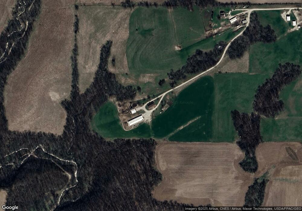
Map
Nearby Homes
- 0 Penny Springs Rd
- TBD Deer Rd
- 417 Old Sixteen Rd
- 10675 Falcon Ave
- 310 N Main St
- 400 W Center St
- 206 S Hill St
- 0000 Greenbrier Dr
- 525 4th St SE
- 104 6th Ave SW
- 1461 Fan Rd
- 0 SW 11th Ave Unit 20222752
- Allamakee Co. Ia Parcel Id#
- 1461 Bakkum Rd
- 103 3rd Ave SW
- 0 Parcel Id#1031376005 Unit 20211907
- 0 Parcel Id#1031351004 Unit 20211906
- 0 Parcel Id#1031376012 Unit 20211905
- 0 Parcel Id#1031376013 Unit 20211902
- 0 Parcel Id#1031351006 Unit 20211900
- 1107 Tree Line Ln
- 1114 Tree Line Ln
- 658 Bear Hollow Rd
- 646 Bear Hollow Rd
- 677 Bear Hollow Rd
- 1151 Rush Dr
- 681 Bear Hollow Rd
- 629 Bear Hollow Rd
- 612 Bear Hollow Rd
- 697 Bear Hollow Rd
- 709 Red School Rd
- 728 Bear Hollow Rd
- 731 Bear Hollow Rd
- 611 Bear Hollow Rd
- 651 Red School Rd
- 646 Red School Rd
- 595 Red School Rd
- 568 Bear Hollow Rd
- 1069 Primrose Dr