11307 Harborside Cluster Reston, VA 20191
Estimated Value: $1,100,056 - $1,200,000
4
Beds
3
Baths
2,483
Sq Ft
$458/Sq Ft
Est. Value
About This Home
This home is located at 11307 Harborside Cluster, Reston, VA 20191 and is currently estimated at $1,137,514, approximately $458 per square foot. 11307 Harborside Cluster is a home located in Fairfax County with nearby schools including Sunrise Valley Elementary, Langston Hughes Middle School, and South Lakes High School.
Ownership History
Date
Name
Owned For
Owner Type
Purchase Details
Closed on
Jan 24, 2011
Sold by
Mulqueen Daniel J
Bought by
Morrison Jack E
Current Estimated Value
Home Financials for this Owner
Home Financials are based on the most recent Mortgage that was taken out on this home.
Original Mortgage
$512,000
Outstanding Balance
$349,898
Interest Rate
4.83%
Mortgage Type
New Conventional
Estimated Equity
$787,616
Purchase Details
Closed on
Aug 27, 2003
Sold by
Lehman Eileen F
Bought by
Mulqueen Daniel
Create a Home Valuation Report for This Property
The Home Valuation Report is an in-depth analysis detailing your home's value as well as a comparison with similar homes in the area
Home Values in the Area
Average Home Value in this Area
Purchase History
| Date | Buyer | Sale Price | Title Company |
|---|---|---|---|
| Morrison Jack E | $640,000 | -- | |
| Mulqueen Daniel | $600,000 | -- |
Source: Public Records
Mortgage History
| Date | Status | Borrower | Loan Amount |
|---|---|---|---|
| Open | Morrison Jack E | $512,000 |
Source: Public Records
Tax History Compared to Growth
Tax History
| Year | Tax Paid | Tax Assessment Tax Assessment Total Assessment is a certain percentage of the fair market value that is determined by local assessors to be the total taxable value of land and additions on the property. | Land | Improvement |
|---|---|---|---|---|
| 2025 | $10,817 | $923,960 | $393,000 | $530,960 |
| 2024 | $10,817 | $897,320 | $375,000 | $522,320 |
| 2023 | $10,047 | $854,730 | $375,000 | $479,730 |
| 2022 | $10,176 | $854,730 | $375,000 | $479,730 |
| 2021 | $9,919 | $812,730 | $333,000 | $479,730 |
| 2020 | $9,457 | $768,550 | $298,000 | $470,550 |
| 2019 | $9,172 | $745,410 | $291,000 | $454,410 |
| 2018 | $7,402 | $643,680 | $284,000 | $359,680 |
| 2017 | $8,287 | $686,030 | $284,000 | $402,030 |
| 2016 | $8,101 | $672,030 | $270,000 | $402,030 |
| 2015 | $7,816 | $672,030 | $270,000 | $402,030 |
| 2014 | $7,799 | $672,030 | $270,000 | $402,030 |
Source: Public Records
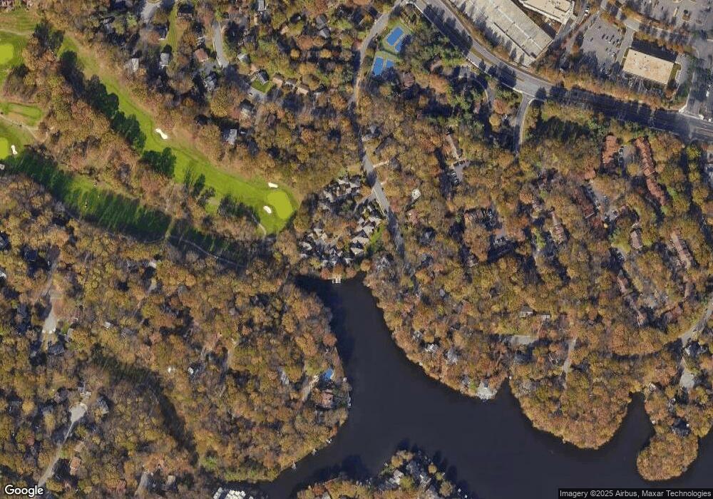
Map
Nearby Homes
- 11303 Harborside Cluster
- 2022 Headlands Cir
- 2027 Headlands Cir
- 11428 Purple Beech Dr
- 11332 Headlands Ct
- 11301 Gatesborough Ln
- 11401 Turnmill Ln
- 1950 Weybridge Ln
- 2037 Wethersfield Ct
- 2029 Wethersfield Ct
- 1975 Lakeport Way
- 1933 Lakeport Way
- 11184 Silentwood Ln
- 11237 Beaker St
- 1891 Midline Ave
- 1862 Michael Faraday Dr
- 11269 Silentwood Ln
- 1951 Sagewood Ln Unit 226
- 1951 Sagewood Ln Unit 315
- 2180 Whisperwood Glen Ln
- 11305 Harborside Cluster
- 11309 Harborside Cluster
- 11303 Harborside Cluster
- 11311 Harborside Cluster
- 11311 Harborside Cluster
- 11311 Harbor Ct
- 1926 Upper Lake Dr
- 11301 Harborside Cluster
- 11301 Harborside Cluster
- 11313 Harborside Cluster
- 11310 Harborside Cluster
- 11310 Harborside Cluster
- 11308 Harborside Cluster
- 11308 Harborside Cluster
- 11314 Harborside Cluster
- 11312 Harborside Cluster
- 11312 Harborside Cluster
- 1928 Upper Lake Dr
- 11306 Harborside Cluster
- 11304 Harborside Cluster