11307 S Bruner Rd La Fontaine, IN 46940
Estimated Value: $176,000 - $217,000
3
Beds
1
Bath
1,272
Sq Ft
$151/Sq Ft
Est. Value
About This Home
This home is located at 11307 S Bruner Rd, La Fontaine, IN 46940 and is currently estimated at $191,738, approximately $150 per square foot. 11307 S Bruner Rd is a home located in Wabash County.
Ownership History
Date
Name
Owned For
Owner Type
Purchase Details
Closed on
Oct 17, 2019
Sold by
Rigney Michael T and Rigney Amanda K
Bought by
Indian Ridge Farm
Current Estimated Value
Home Financials for this Owner
Home Financials are based on the most recent Mortgage that was taken out on this home.
Original Mortgage
$41,459
Outstanding Balance
$27,570
Interest Rate
3.4%
Mortgage Type
Future Advance Clause Open End Mortgage
Estimated Equity
$164,168
Purchase Details
Closed on
Aug 8, 2007
Sold by
Rigney Michael T
Bought by
Rigney Michael T and Rigney Amanda K
Home Financials for this Owner
Home Financials are based on the most recent Mortgage that was taken out on this home.
Original Mortgage
$92,000
Interest Rate
6.77%
Mortgage Type
New Conventional
Create a Home Valuation Report for This Property
The Home Valuation Report is an in-depth analysis detailing your home's value as well as a comparison with similar homes in the area
Home Values in the Area
Average Home Value in this Area
Purchase History
| Date | Buyer | Sale Price | Title Company |
|---|---|---|---|
| Indian Ridge Farm | $41,459 | Wabash Valley Abstract, Inc | |
| Rigney Michael T | -- | -- |
Source: Public Records
Mortgage History
| Date | Status | Borrower | Loan Amount |
|---|---|---|---|
| Open | Indian Ridge Farm | $41,459 | |
| Previous Owner | Rigney Michael T | $92,000 |
Source: Public Records
Tax History Compared to Growth
Tax History
| Year | Tax Paid | Tax Assessment Tax Assessment Total Assessment is a certain percentage of the fair market value that is determined by local assessors to be the total taxable value of land and additions on the property. | Land | Improvement |
|---|---|---|---|---|
| 2024 | $1,969 | $143,600 | $22,700 | $120,900 |
| 2023 | $1,898 | $141,300 | $22,700 | $118,600 |
| 2022 | $1,365 | $132,500 | $22,700 | $109,800 |
| 2021 | $1,415 | $122,400 | $20,700 | $101,700 |
| 2020 | $1,324 | $115,500 | $20,600 | $94,900 |
| 2019 | $415 | $112,800 | $20,600 | $92,200 |
| 2018 | $404 | $110,600 | $20,600 | $90,000 |
| 2017 | $380 | $107,600 | $20,600 | $87,000 |
| 2016 | $271 | $105,500 | $20,600 | $84,900 |
| 2014 | $209 | $99,200 | $20,600 | $78,600 |
| 2013 | $168 | $94,800 | $20,600 | $74,200 |
Source: Public Records
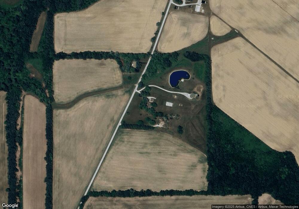
Map
Nearby Homes
- 3 Mason St
- 109 E Grant St
- 403 E Kendall St
- 3576 W 505 N
- 4769 N Brooke Dr
- 3192 E 800 S Unit 2
- 4493 N Wabash Rd
- 852 W 850 S
- 7754 S America Rd
- 100 N Delaware Ln
- 1920 W Westholme Dr
- 3930 N Avalon Dr
- 3920 N Avalon Dr
- 3682 E State Road 124
- 1906 W James Dr
- 638 Laura Ln
- 2214 N Wabash Rd
- 611 Allen Dr
- 5292 W Delphi Pike
- 105 Peterson Dr
- 11379 S Bruner Rd
- 11242 S Bruner Rd
- 11125 S Bruner Rd
- 2775 E 1100 S
- 2407 E 1050 S
- 2291 E 1050 S
- 1997 E 1050 S
- 2373 E 1050 S
- 2123 E 1050 S
- 2258 E 1050 S
- 4631 W 700 N27
- 2318 E 1050 S
- 3000 E 1100 S Unit 6
- 3000 E 1100 S
- 1958 E 1050 S Unit 2
- 4601 W 700 N27
- 10432 S 250 E
- 2855 E 1050 S
- 1825 E 1050 S
- 2106 E 1050 S