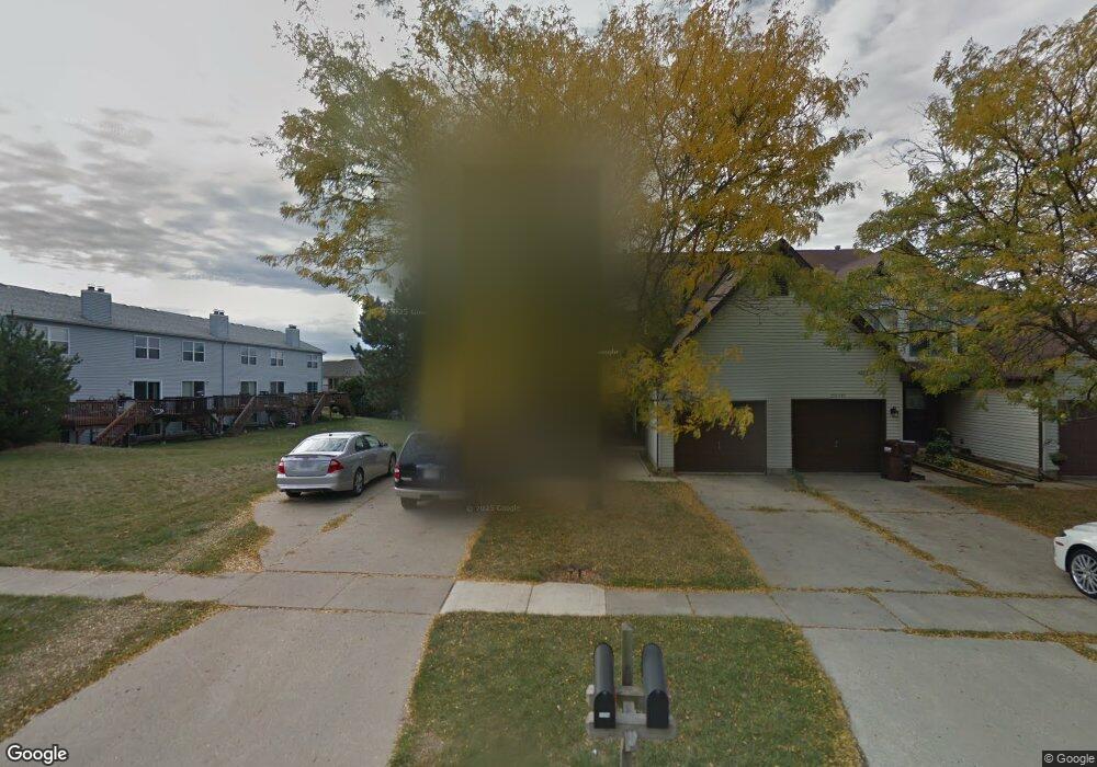
11309 Douglas Ave Unit A Huntley, IL 60142
Estimated Value: $258,973 - $293,000
--
Bed
--
Bath
1,430
Sq Ft
$193/Sq Ft
Est. Value
About This Home
This home is located at 11309 Douglas Ave Unit A, Huntley, IL 60142 and is currently estimated at $275,993, approximately $193 per square foot. 11309 Douglas Ave Unit A is a home located in McHenry County with nearby schools including Martin Elementary School, Chesak Elementary School, and Marlowe Middle School.
Ownership History
Date
Name
Owned For
Owner Type
Purchase Details
Closed on
Nov 30, 1995
Sold by
Billington Wendy and Norton Connie
Bought by
Groppi Larry John and Groppi Kerry M
Current Estimated Value
Home Financials for this Owner
Home Financials are based on the most recent Mortgage that was taken out on this home.
Original Mortgage
$110,888
Outstanding Balance
$2,286
Interest Rate
7.45%
Mortgage Type
VA
Estimated Equity
$273,707
Purchase Details
Closed on
Jun 19, 1993
Sold by
Billington Wendy E and Norton Constance A
Bought by
Norton Connie and The Connie Norton Trust
Create a Home Valuation Report for This Property
The Home Valuation Report is an in-depth analysis detailing your home's value as well as a comparison with similar homes in the area
Home Values in the Area
Average Home Value in this Area
Purchase History
| Date | Buyer | Sale Price | Title Company |
|---|---|---|---|
| Groppi Larry John | $115,000 | Cambridge Title Services | |
| Norton Connie | -- | -- |
Source: Public Records
Mortgage History
| Date | Status | Borrower | Loan Amount |
|---|---|---|---|
| Open | Groppi Larry John | $110,888 |
Source: Public Records
Tax History Compared to Growth
Tax History
| Year | Tax Paid | Tax Assessment Tax Assessment Total Assessment is a certain percentage of the fair market value that is determined by local assessors to be the total taxable value of land and additions on the property. | Land | Improvement |
|---|---|---|---|---|
| 2024 | $4,476 | $71,036 | $5,589 | $65,447 |
| 2023 | $4,320 | $63,813 | $5,021 | $58,792 |
| 2022 | $4,063 | $56,773 | $4,572 | $52,201 |
| 2021 | $3,926 | $53,469 | $4,306 | $49,163 |
| 2020 | $3,854 | $52,043 | $4,191 | $47,852 |
| 2019 | $3,757 | $50,714 | $4,084 | $46,630 |
| 2018 | $4,706 | $61,296 | $4,596 | $56,700 |
| 2017 | $4,600 | $57,766 | $4,331 | $53,435 |
| 2016 | $4,632 | $54,921 | $4,118 | $50,803 |
| 2013 | -- | $44,717 | $8,185 | $36,532 |
Source: Public Records
Map
Nearby Homes
- 10826 Timer Dr W Unit 2
- 10846 Timer Dr W Unit 2
- 11314 Algonquin Rd Unit C
- 10592 Capitol Ln
- 0 Ruth Rd Unit MRD12258953
- 2.54 Ruth Rd
- 10880 Potomac Dr
- 11618 Douglas Ave
- Lot 2 Ryann Rd
- 10514 N Church St
- 10804 Concord Ln
- 11609 E Main St
- Lot 3 Ryann Rd
- Lot 1 Ryann Rd
- 10631 Oregon Trail
- 0000 Route 47
- 10392 Hunter Trail
- 10783 Chadsey Rd
- 10794 Saxony St
- 10784 Saxony St
- 11309 Douglas Ave Unit D
- 11309 Douglas Ave Unit B
- 11309 Douglas Ave Unit C
- 11311 Douglas Ave
- 11311 Douglas Ave Unit C
- 11311 Douglas Ave
- 11311 Douglas Ave Unit B
- 11313 Douglas Ave Unit 11313
- 11313 Douglas Ave
- 10735 Timer Dr E Unit 3
- 10755 Timer Dr E Unit 1
- 10745 Timer Dr E Unit 2
- 10833 Timer Dr E Unit 5
- 10725 Timer Dr E Unit 4
- 10820 Timer Dr W Unit 5
- 10824 Timer Dr W Unit 3
- 10828 Timer Dr W Unit 1
- 10822 Timer Dr W
- 10618 Carl St
- 10710 Timer Dr W