1131 Bobbi Ln Waterloo, IA 50701
Estimated Value: $209,000 - $298,000
2
Beds
2
Baths
1,519
Sq Ft
$155/Sq Ft
Est. Value
About This Home
This home is located at 1131 Bobbi Ln, Waterloo, IA 50701 and is currently estimated at $235,504, approximately $155 per square foot. 1131 Bobbi Ln is a home located in Black Hawk County with nearby schools including Becker Elementary School, Central Middle School, and West High School.
Ownership History
Date
Name
Owned For
Owner Type
Purchase Details
Closed on
Mar 23, 2018
Sold by
Nielsen Larry J and Nielsen Paula M
Bought by
Paula M Nielsen Ret
Current Estimated Value
Purchase Details
Closed on
Jul 24, 2012
Sold by
Swanson Corrine S
Bought by
Nielsen Paula M and Nielsen Larry J
Home Financials for this Owner
Home Financials are based on the most recent Mortgage that was taken out on this home.
Original Mortgage
$38,000
Interest Rate
3.65%
Mortgage Type
New Conventional
Create a Home Valuation Report for This Property
The Home Valuation Report is an in-depth analysis detailing your home's value as well as a comparison with similar homes in the area
Home Values in the Area
Average Home Value in this Area
Purchase History
| Date | Buyer | Sale Price | Title Company |
|---|---|---|---|
| Paula M Nielsen Ret | -- | -- | |
| Nielsen Paula M | -- | None Available |
Source: Public Records
Mortgage History
| Date | Status | Borrower | Loan Amount |
|---|---|---|---|
| Previous Owner | Nielsen Paula M | $38,000 |
Source: Public Records
Tax History Compared to Growth
Tax History
| Year | Tax Paid | Tax Assessment Tax Assessment Total Assessment is a certain percentage of the fair market value that is determined by local assessors to be the total taxable value of land and additions on the property. | Land | Improvement |
|---|---|---|---|---|
| 2025 | $3,518 | $184,230 | $14,690 | $169,540 |
| 2024 | $3,518 | $186,070 | $14,690 | $171,380 |
| 2023 | $3,334 | $186,070 | $14,690 | $171,380 |
| 2022 | $3,244 | $160,650 | $14,690 | $145,960 |
| 2021 | $3,290 | $160,650 | $14,690 | $145,960 |
| 2020 | $3,232 | $153,810 | $14,690 | $139,120 |
| 2019 | $3,232 | $153,810 | $14,690 | $139,120 |
| 2018 | $3,238 | $153,810 | $14,690 | $139,120 |
| 2017 | $3,208 | $153,930 | $14,810 | $139,120 |
| 2016 | $3,166 | $148,230 | $14,810 | $133,420 |
| 2015 | $3,166 | $148,230 | $14,810 | $133,420 |
| 2014 | $3,042 | $140,250 | $14,810 | $125,440 |
Source: Public Records
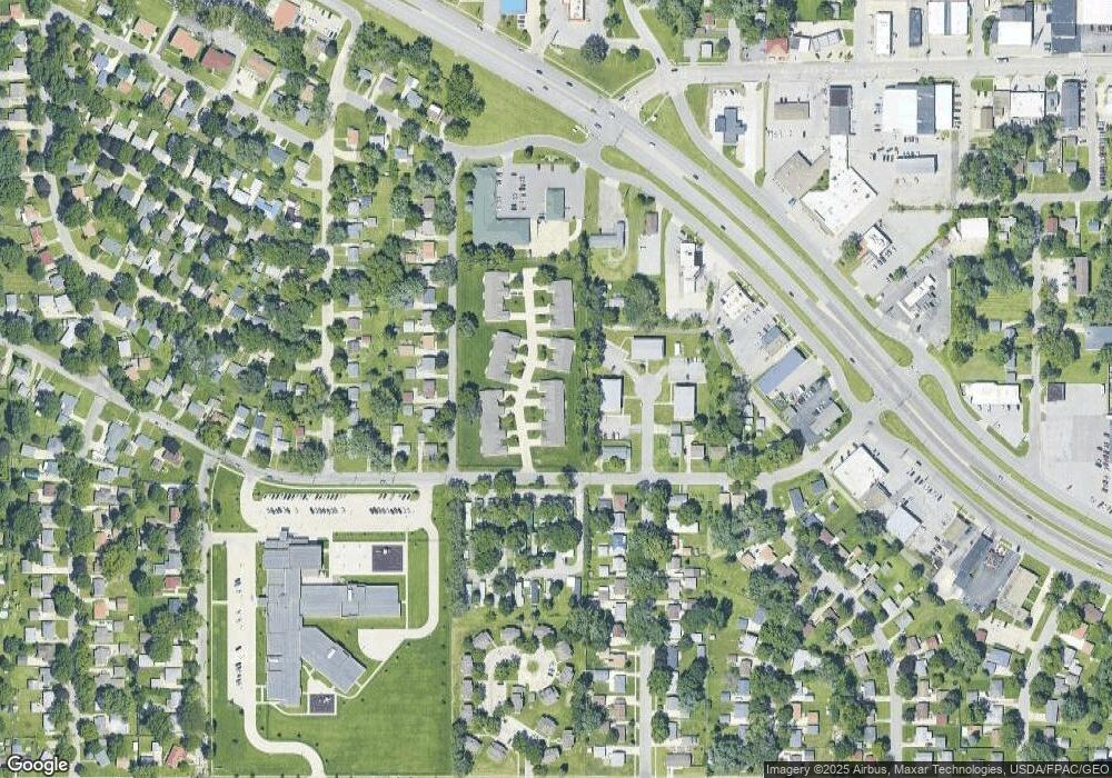
Map
Nearby Homes
- 1114 Eleanor Dr
- 915 Alabar Ave
- 1742 Sager Ave
- 819 Hanna Blvd
- 2621 University Ave
- 1269 Scott Ave
- 1221 Downing Ave
- 1107 Downing Ave
- 1726 Huntington Rd
- 2320 University Ave
- 1016 Evergreen Ave
- 724 Kirkwood Ave
- 400 Woodbridge St
- 124 Axlewood Dr
- 118 Axlewood Dr
- 131 Axlewood Dr
- 1129 Wallgate Ave
- 320 Valley Rd
- 102 Bergen Dr
- 104 Bergen Dr