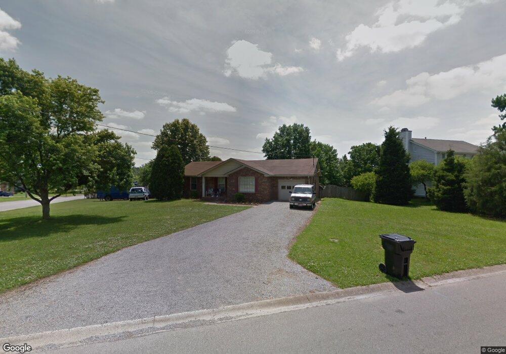
1131 Tobacco Rd Clarksville, TN 37042
Estimated Value: $211,401 - $251,000
--
Bed
2
Baths
1,316
Sq Ft
$182/Sq Ft
Est. Value
About This Home
This home is located at 1131 Tobacco Rd, Clarksville, TN 37042 and is currently estimated at $239,600, approximately $182 per square foot. 1131 Tobacco Rd is a home located in Montgomery County with nearby schools including Barkers Mill Elementary School, West Creek Middle School, and West Creek High School.
Ownership History
Date
Name
Owned For
Owner Type
Purchase Details
Closed on
Dec 7, 1994
Sold by
Castillo Ramon D
Bought by
Purcell Allan L
Current Estimated Value
Create a Home Valuation Report for This Property
The Home Valuation Report is an in-depth analysis detailing your home's value as well as a comparison with similar homes in the area
Home Values in the Area
Average Home Value in this Area
Purchase History
| Date | Buyer | Sale Price | Title Company |
|---|---|---|---|
| Purcell Allan L | $62,796 | -- |
Source: Public Records
Tax History Compared to Growth
Tax History
| Year | Tax Paid | Tax Assessment Tax Assessment Total Assessment is a certain percentage of the fair market value that is determined by local assessors to be the total taxable value of land and additions on the property. | Land | Improvement |
|---|---|---|---|---|
| 2024 | $1,717 | $57,625 | $0 | $0 |
| 2023 | $1,717 | $31,950 | $0 | $0 |
| 2022 | $1,348 | $31,950 | $0 | $0 |
| 2021 | $1,348 | $31,950 | $0 | $0 |
| 2020 | $1,284 | $31,950 | $0 | $0 |
| 2019 | $1,284 | $31,950 | $0 | $0 |
| 2018 | $1,254 | $22,450 | $0 | $0 |
| 2017 | $361 | $29,075 | $0 | $0 |
| 2016 | $893 | $29,075 | $0 | $0 |
| 2015 | $893 | $29,075 | $0 | $0 |
| 2014 | $1,209 | $29,075 | $0 | $0 |
| 2013 | $1,205 | $27,500 | $0 | $0 |
Source: Public Records
Map
Nearby Homes
- 803 Parkview Ct
- 3403 Chaney Ln
- 1112 Tobacco Rd
- 3405 Polly Dr
- 3366 Mallard Dr
- 1325 Wennona Dr
- 3357 Pembroke Rd
- 876 Gordon Place
- 763 Sturdivant Dr
- 1253 Archwood Dr
- 3414 Pembroke Rd
- 1140 Lamont Ct
- 1255 Weeping Willow Dr
- 2964 Mcmanus Cir
- 0 Pembroke Rd
- 1251 Patton Place
- 823 Princeton Cir
- 2941 Mcmanus Cir
- 1221 Shorehaven Dr
- 3433 Oak Lawn Dr
- 1129 Tobacco Rd
- 3332 Carrie Dr
- 1201 Tobacco Rd
- 1127 Tobacco Rd
- 3330 Carrie Dr
- 1128 Tobacco Rd
- 1126 Tobacco Rd
- 3328 Carrie Dr
- 3343 Mallard Dr
- 1203 Tobacco Rd
- 1124 Tobacco Rd
- 1125 Tobacco Rd
- 3341 Mallard Dr
- 3326 Carrie Dr
- 3350 Mallard Dr
- 1122 Tobacco Rd
- 3331 Carrie Dr
- 1123 Tobacco Rd
- 1202 Tobacco Rd
- 3339 Mallard Dr