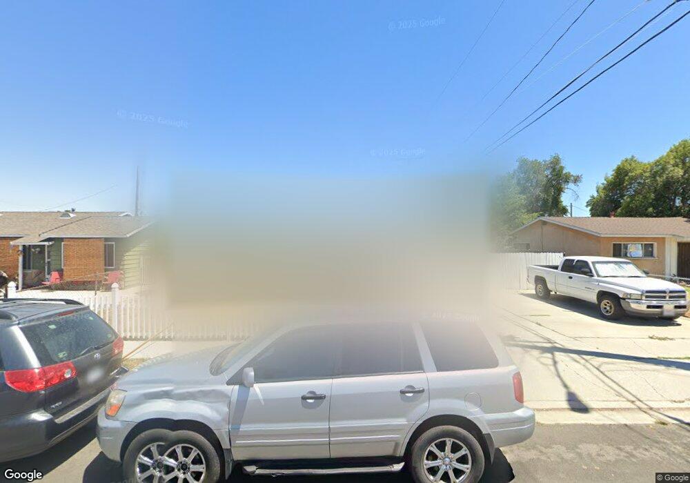
11314 Fidel Ave Whittier, CA 90605
South Whittier NeighborhoodEstimated Value: $668,000 - $781,000
2
Beds
1
Bath
850
Sq Ft
$825/Sq Ft
Est. Value
About This Home
This home is located at 11314 Fidel Ave, Whittier, CA 90605 and is currently estimated at $701,478, approximately $825 per square foot. 11314 Fidel Ave is a home located in Los Angeles County with nearby schools including California High School, St. Gregory The Great, and St. Paul High School.
Ownership History
Date
Name
Owned For
Owner Type
Purchase Details
Closed on
Mar 21, 2005
Sold by
Audelo Jose Luis
Bought by
Audelo Angelina
Current Estimated Value
Purchase Details
Closed on
Oct 20, 1993
Sold by
Tubbs Aubrey M
Bought by
Audelo Jose and Audelo Angelina
Home Financials for this Owner
Home Financials are based on the most recent Mortgage that was taken out on this home.
Original Mortgage
$126,990
Interest Rate
7.21%
Mortgage Type
VA
Create a Home Valuation Report for This Property
The Home Valuation Report is an in-depth analysis detailing your home's value as well as a comparison with similar homes in the area
Home Values in the Area
Average Home Value in this Area
Purchase History
| Date | Buyer | Sale Price | Title Company |
|---|---|---|---|
| Audelo Angelina | -- | Old Republic Title Company | |
| Audelo Jose | $124,500 | Gateway Title |
Source: Public Records
Mortgage History
| Date | Status | Borrower | Loan Amount |
|---|---|---|---|
| Previous Owner | Audelo Jose | $126,990 |
Source: Public Records
Tax History Compared to Growth
Tax History
| Year | Tax Paid | Tax Assessment Tax Assessment Total Assessment is a certain percentage of the fair market value that is determined by local assessors to be the total taxable value of land and additions on the property. | Land | Improvement |
|---|---|---|---|---|
| 2025 | $3,022 | $211,573 | $155,505 | $56,068 |
| 2024 | $2,841 | $207,425 | $152,456 | $54,969 |
| 2023 | $2,758 | $203,359 | $149,467 | $53,892 |
| 2022 | $2,769 | $199,373 | $146,537 | $52,836 |
| 2021 | $2,711 | $195,464 | $143,664 | $51,800 |
| 2020 | $2,682 | $193,460 | $142,191 | $51,269 |
| 2019 | $2,661 | $189,667 | $139,403 | $50,264 |
| 2018 | $2,536 | $185,949 | $136,670 | $49,279 |
| 2017 | $2,503 | $182,304 | $133,991 | $48,313 |
| 2016 | $2,407 | $178,730 | $131,364 | $47,366 |
| 2015 | $2,348 | $176,046 | $129,391 | $46,655 |
| 2014 | $2,329 | $172,599 | $126,857 | $45,742 |
Source: Public Records
Map
Nearby Homes
- 11518 Fidel Ave
- 11428 Painter Ave
- 13272 Beaty Ave
- 11820 Painter Ave
- 11828 Louis Ave
- 13481 Meyer Rd
- 13538 Lukay St
- 13531 Utica St
- 10849 Inez St
- 11116 Leland Ave
- 11426 Newgate Ave
- 13213 Leffingwell Rd
- 13513 Leffingwell Rd
- 13703 Placid Dr
- 13752 Bentongrove Dr
- 13857 Leffingwell Rd
- 10745 Victoria Ave Unit 4
- 10745 Victoria Ave Unit 6
- 10745 Victoria Ave
- 11102 Eagle Ln
- 11318 Fidel Ave
- 11302 Fidel Ave
- 13212 Meyer Rd
- 11309 Fidel Ave
- 11319 Fidel Ave
- 11308 Fidel Ave
- 11414 Fidel Ave
- 13222 Meyer Rd
- 13145 Rainier Ave
- 11317 Fidel Ave
- 13158 Meyer Rd
- 11403 Fidel Ave
- 13150 Meyer Rd
- 11418 Fidel Ave
- 11407 Fidel Ave
- 11411 Fidel Ave
- 13137 Rainier Ave
- 11417 Laurel Ave
- 13144 Meyer Rd
- 11419 Fidel Ave