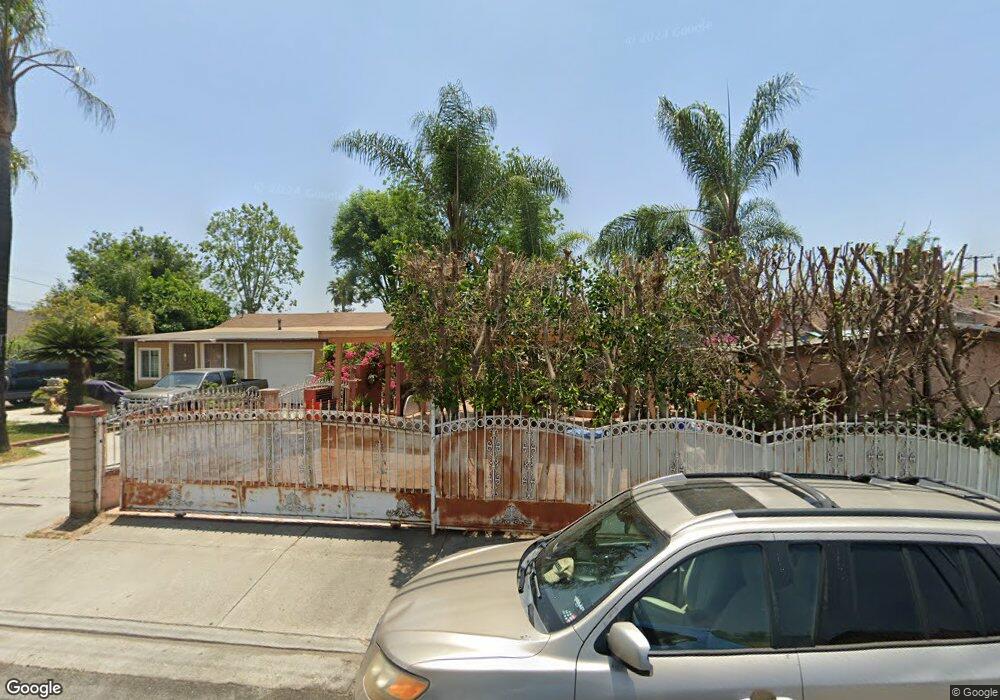
11318 Bryant Rd El Monte, CA 91732
Norwood Cherrylee NeighborhoodEstimated Value: $1,116,000 - $1,214,000
6
Beds
4
Baths
2,672
Sq Ft
$440/Sq Ft
Est. Value
About This Home
This home is located at 11318 Bryant Rd, El Monte, CA 91732 and is currently estimated at $1,174,667, approximately $439 per square foot. 11318 Bryant Rd is a home located in Los Angeles County with nearby schools including Legore Elementary School, Wright Elementary School, and Arroyo High School.
Ownership History
Date
Name
Owned For
Owner Type
Purchase Details
Closed on
Jun 20, 2024
Sold by
Olivetti Carlos
Bought by
Olivetti Family Revocable Living Trust and Olivetti
Current Estimated Value
Purchase Details
Closed on
Apr 20, 1999
Sold by
Federal Home Loan Mortgage Corporation
Bought by
Group I El Monte Properties Ltd
Purchase Details
Closed on
Nov 3, 1998
Sold by
Barajas Ramiro
Bought by
Federal Home Loan Mortgage Corporation
Purchase Details
Closed on
Dec 16, 1997
Sold by
Barajas Ramiro and Federal Home Loan Mortgage Cor
Bought by
Federal Home Loan Mortgage Corporation
Create a Home Valuation Report for This Property
The Home Valuation Report is an in-depth analysis detailing your home's value as well as a comparison with similar homes in the area
Home Values in the Area
Average Home Value in this Area
Purchase History
| Date | Buyer | Sale Price | Title Company |
|---|---|---|---|
| Olivetti Family Revocable Living Trust | -- | -- | |
| Group I El Monte Properties Ltd | $166,000 | First American Title Co | |
| Federal Home Loan Mortgage Corporation | $182,887 | Landsafe Title | |
| Federal Home Loan Mortgage Corporation | $149,900 | Landsafe Title |
Source: Public Records
Tax History
| Year | Tax Paid | Tax Assessment Tax Assessment Total Assessment is a certain percentage of the fair market value that is determined by local assessors to be the total taxable value of land and additions on the property. | Land | Improvement |
|---|---|---|---|---|
| 2025 | $19,710 | $1,342,214 | $865,945 | $476,269 |
| 2024 | $18,334 | $1,315,897 | $848,966 | $466,931 |
| 2023 | $17,971 | $1,290,096 | $832,320 | $457,776 |
| 2022 | $17,300 | $1,264,800 | $816,000 | $448,800 |
| 2021 | $4,303 | $240,403 | $144,825 | $95,578 |
| 2020 | $4,291 | $237,938 | $143,340 | $94,598 |
| 2019 | $4,365 | $233,274 | $140,530 | $92,744 |
| 2018 | $4,184 | $228,701 | $137,775 | $90,926 |
| 2017 | $4,105 | $224,218 | $135,074 | $89,144 |
| 2016 | $4,003 | $219,823 | $132,426 | $87,397 |
| 2015 | $3,956 | $216,522 | $130,437 | $86,085 |
| 2014 | $3,844 | $212,281 | $127,882 | $84,399 |
Source: Public Records
Map
Nearby Homes
- 4014 Cedar Ave
- 11238 Forest Grove St
- 3841 Peck Rd
- 11125 Basye St Unit D
- 3760 Esmeralda Ave
- 11386 Mcgirk Ave
- 11670 Ferris Rd
- 11722 Bryant Rd
- 11130 Legion Loop Unit 105
- 11135 Legion Dr Unit 101
- 11211 Mcgirk Ave
- 3848 Richwood Ave
- 11175 Legion Loop Unit 110
- 11040 Encanto Way
- 4501 Peck Rd Unit 63
- 4501 Peck Rd Unit 9
- 11825 Basye St
- 3361 Meeker Ave
- 11433 Elmcrest St
- 10988 Las Flores Dr
Your Personal Tour Guide
Ask me questions while you tour the home.