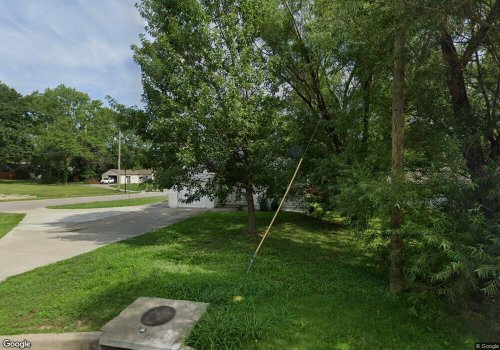
11318 W 61st St Shawnee, KS 66203
Estimated Value: $279,000 - $330,000
1
Bed
2
Baths
1,015
Sq Ft
$296/Sq Ft
Est. Value
About This Home
This home is located at 11318 W 61st St, Shawnee, KS 66203 and is currently estimated at $300,147, approximately $295 per square foot. 11318 W 61st St is a home located in Johnson County with nearby schools including Bluejacket / Flint Elementary, Hocker Grove Middle School, and Shawnee Mission North High School.
Ownership History
Date
Name
Owned For
Owner Type
Purchase Details
Closed on
May 17, 2011
Sold by
Smith Blake E
Bought by
11318 W 61St Street Llc
Current Estimated Value
Purchase Details
Closed on
May 16, 2011
Sold by
Smith Brent E and Smith Robin L
Bought by
Smith Blake E
Purchase Details
Closed on
Oct 23, 2007
Sold by
Metrocities Llc
Bought by
Smith Austin T
Home Financials for this Owner
Home Financials are based on the most recent Mortgage that was taken out on this home.
Original Mortgage
$167,500
Interest Rate
6.32%
Mortgage Type
New Conventional
Purchase Details
Closed on
Jul 29, 2005
Sold by
Smith Brant E and Smith Robin L
Bought by
Metrocities Llc
Create a Home Valuation Report for This Property
The Home Valuation Report is an in-depth analysis detailing your home's value as well as a comparison with similar homes in the area
Home Values in the Area
Average Home Value in this Area
Purchase History
| Date | Buyer | Sale Price | Title Company |
|---|---|---|---|
| 11318 W 61St Street Llc | -- | None Available | |
| Smith Blake E | -- | None Available | |
| Smith Austin T | -- | Chicago Title Ins Co | |
| Metrocities Llc | -- | None Available |
Source: Public Records
Mortgage History
| Date | Status | Borrower | Loan Amount |
|---|---|---|---|
| Previous Owner | Smith Austin T | $167,500 |
Source: Public Records
Tax History Compared to Growth
Tax History
| Year | Tax Paid | Tax Assessment Tax Assessment Total Assessment is a certain percentage of the fair market value that is determined by local assessors to be the total taxable value of land and additions on the property. | Land | Improvement |
|---|---|---|---|---|
| 2024 | $3,441 | $32,694 | $4,925 | $27,769 |
| 2023 | $3,357 | $31,349 | $4,925 | $26,424 |
| 2022 | $2,841 | $26,450 | $4,553 | $21,897 |
| 2021 | $2,897 | $25,219 | $3,957 | $21,262 |
| 2020 | $2,566 | $22,023 | $3,593 | $18,430 |
| 2019 | $2,411 | $20,666 | $2,997 | $17,669 |
| 2018 | $2,328 | $19,873 | $2,680 | $17,193 |
| 2017 | $2,278 | $19,148 | $2,680 | $16,468 |
| 2016 | $2,108 | $17,481 | $2,680 | $14,801 |
| 2015 | $1,994 | $17,251 | $2,680 | $14,571 |
| 2013 | -- | $16,434 | $2,680 | $13,754 |
Source: Public Records
Map
Nearby Homes
- 6420 Ballentine St
- 12116 W 63rd Terrace
- 5845 Caenen St
- 11002 W 55th Terrace
- 12225 W 64th Terrace
- 6610 Halsey St
- 6556 Charles St
- 10103 Johnson Dr
- 10924 W 67th St
- 6564 Charles St
- Ashwood Plan at Bristol Highlands - North
- The Fleetwood Plan at Bristol Highlands - The Villas
- Cypress II Plan at Bristol Highlands - North
- The Fleetwood Plan at Bristol Highlands - The Manors
- The Brentwood Plan at Bristol Highlands - The Villas
- Yorkshire V Plan at Bristol Highlands - North
- The Kirkwood Plan at Bristol Highlands - The Villas
- 8013 Payne St
- The Rockwood Plan at Bristol Highlands - The Villas
- Magnolia Plan at Bristol Highlands - North
- 11314 W 61st St
- 6061 Flint St
- 11312 W 61st St
- 6032 Flint St
- 6024 Flint St
- 6041 Flint St
- 11315 W 61st St
- 11313 W 61st St
- 11302 W 61st St
- 11413 W 60th Terrace
- 6108 King Ave
- 6110 Flint St
- 6027 Flint St
- 11228 W 61st St
- 11230 W 61st St
- 11226 W 61st St
- 6035 Bond St
- 11400 W 61st Terrace
- 6115 Flint St
- 11222 W 61st St