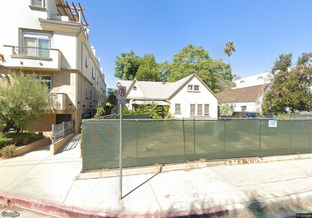
11319 Huston St Unit ALL North Hollywood, CA 91601
North Hollywood NeighborhoodEstimated Value: $1,192,000 - $4,263,000
36
Beds
40
Baths
17,930
Sq Ft
$115/Sq Ft
Est. Value
About This Home
This home is located at 11319 Huston St Unit ALL, North Hollywood, CA 91601 and is currently estimated at $2,061,539, approximately $114 per square foot. 11319 Huston St Unit ALL is a home located in Los Angeles County with nearby schools including Lankershim Elementary School, Walter Reed Middle, and North Hollywood Senior High School.
Ownership History
Date
Name
Owned For
Owner Type
Purchase Details
Closed on
Nov 11, 2022
Sold by
Barry Saven Family Trust
Bought by
113 Huston Llc
Current Estimated Value
Purchase Details
Closed on
Jan 14, 2015
Sold by
Anderson Doris V L
Bought by
Anderson Trust
Purchase Details
Closed on
Nov 13, 2014
Sold by
Anderson Doris V L and Di Giovanni Eric
Bought by
Anderson Doris V L
Purchase Details
Closed on
Apr 4, 1995
Sold by
Mcclellan Toy and Mcclellan Trust
Bought by
Anderson Eleanor Ruby
Create a Home Valuation Report for This Property
The Home Valuation Report is an in-depth analysis detailing your home's value as well as a comparison with similar homes in the area
Home Values in the Area
Average Home Value in this Area
Purchase History
| Date | Buyer | Sale Price | Title Company |
|---|---|---|---|
| 113 Huston Llc | -- | -- | |
| Anderson Trust | -- | None Available | |
| Anderson Doris V L | -- | None Available | |
| Anderson Eleanor Ruby | $96,000 | American Title |
Source: Public Records
Tax History Compared to Growth
Tax History
| Year | Tax Paid | Tax Assessment Tax Assessment Total Assessment is a certain percentage of the fair market value that is determined by local assessors to be the total taxable value of land and additions on the property. | Land | Improvement |
|---|---|---|---|---|
| 2025 | $14,790 | $1,229,752 | $984,218 | $245,534 |
| 2024 | $14,790 | $1,205,640 | $964,920 | $240,720 |
| 2023 | $14,500 | $1,182,000 | $946,000 | $236,000 |
| 2022 | $14,006 | $1,175,000 | $940,000 | $235,000 |
| 2021 | $6,679 | $542,941 | $388,609 | $154,332 |
| 2019 | $6,478 | $526,839 | $377,084 | $149,755 |
| 2018 | $6,419 | $516,510 | $369,691 | $146,819 |
| 2016 | $6,132 | $496,456 | $355,337 | $141,119 |
| 2015 | $2,230 | $176,078 | $104,811 | $71,267 |
| 2014 | $2,244 | $172,629 | $102,758 | $69,871 |
Source: Public Records
Map
Nearby Homes
- 11323 Huston St Unit 1
- 11274 Morrison St Unit 2
- 4821 Bakman Ave Unit 405
- 4821 Bakman Ave Unit 201
- 11230 Peach Grove St Unit 206
- 11322 Camarillo St Unit 201
- 4771 Elmer Ave
- 11159 La Maida St
- 11218 Camarillo St Unit 305
- 11127 La Maida St Unit 9
- 5003 Westpark Dr Unit 203
- 11119 Camarillo St Unit 104
- 11538 La Maida St
- 5075 Westpark Dr
- 4807 Beck Ave Unit 4
- 11110 Camarillo St Unit 113
- 11559 La Maida St
- 11208 Kling St
- 11202 Kling St
- 4645 Farmdale Ave
- 11319 Huston St Unit 2
- 11319 Huston St
- 11315 Huston St Unit 3
- 11315 Huston St
- 11317 Huston St Unit 1
- 11317 Huston St Unit 2
- 11313 Huston St Unit 1
- 11323 Huston St
- 11323 Huston St Unit 8
- 11323 Huston St Unit 9
- 11323 Huston St Unit 4
- 11323 Huston St Unit 7
- 11323 Huston St Unit 5
- 11323 Huston St Unit 2
- 11323 Huston St Unit 11
- 11323 Huston St Unit 6
- 11323 Huston St Unit 3
- 11323 Huston St Unit 112
- 11323 Huston St Unit 111
- 11323 Huston St Unit 110