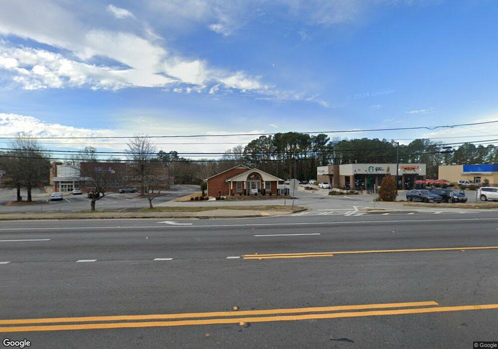
1132 Big a Rd Toccoa, GA 30577
Estimated Value: $401,890
Studio
--
Bath
1,915
Sq Ft
$210/Sq Ft
Est. Value
About This Home
This home is located at 1132 Big a Rd, Toccoa, GA 30577 and is currently estimated at $401,890, approximately $209 per square foot. 1132 Big a Rd is a home located in Stephens County with nearby schools including Stephens County High School.
Ownership History
Date
Name
Owned For
Owner Type
Purchase Details
Closed on
Apr 19, 2023
Sold by
Edmonds Robert D
Bought by
Payne Stephen N and Payne Margaret B
Current Estimated Value
Home Financials for this Owner
Home Financials are based on the most recent Mortgage that was taken out on this home.
Original Mortgage
$296,750
Outstanding Balance
$287,589
Interest Rate
6.42%
Mortgage Type
New Conventional
Estimated Equity
$114,301
Purchase Details
Closed on
Feb 26, 2021
Sold by
Edmonds Robert D
Bought by
Big A Bux Road Llc
Home Financials for this Owner
Home Financials are based on the most recent Mortgage that was taken out on this home.
Original Mortgage
$1,360,000
Interest Rate
2.7%
Mortgage Type
Commercial
Create a Home Valuation Report for This Property
The Home Valuation Report is an in-depth analysis detailing your home's value as well as a comparison with similar homes in the area
Purchase History
| Date | Buyer | Sale Price | Title Company |
|---|---|---|---|
| Payne Stephen N | $355,000 | -- | |
| Big A Bux Road Llc | $175,000 | -- |
Source: Public Records
Mortgage History
| Date | Status | Borrower | Loan Amount |
|---|---|---|---|
| Open | Payne Stephen N | $296,750 | |
| Previous Owner | Big A Bux Road Llc | $1,360,000 |
Source: Public Records
Tax History Compared to Growth
Tax History
| Year | Tax Paid | Tax Assessment Tax Assessment Total Assessment is a certain percentage of the fair market value that is determined by local assessors to be the total taxable value of land and additions on the property. | Land | Improvement |
|---|---|---|---|---|
| 2025 | $2,547 | $85,781 | $67,594 | $18,187 |
| 2024 | $3,424 | $96,044 | $67,112 | $28,932 |
| 2023 | $3,397 | $96,044 | $67,112 | $28,932 |
| 2022 | $2,859 | $96,044 | $67,112 | $28,932 |
| 2021 | $3,003 | $96,044 | $67,112 | $28,932 |
| 2020 | $3,033 | $96,044 | $67,112 | $28,932 |
| 2019 | $3,046 | $96,044 | $67,112 | $28,932 |
| 2018 | $3,046 | $96,044 | $67,112 | $28,932 |
Source: Public Records
Map
Nearby Homes
- 0 Stephen Dr Unit 10662201
- 490 Addington Dr
- 132 Queen St
- 229 Hilltop Ln
- 110 Valley Rd
- 294 Stancil Dr
- 297 Ayers Creek Dr
- 327 Ayers Creek Dr
- 405 Ayers Creek Dr
- 0 Hwy 17 Alt Unit 10577119
- 59 Sunset Ln
- 0 Valley Dr Unit 7675761
- 0 Valley Dr Unit 10600268
- 398 Valley Dr
- 9 Poplar St
- 372 Hilltop Way
- 45 Hayes St
- 148 Moreland Dr
- 189 Julia Ln
- 0 Moreland Dr Unit 10565201
- 1112 Big a Rd
- 741 Big a Rd S Unit 3 PT LT 2
- 48 Parkway Dr
- 1074 Big a Rd Unit TR1
- 1074 Big a Rd
- 68 Parkway Dr
- 90 Parkway Dr
- 29 Parkway Dr
- 1076 Big a Rd
- 49 Parkway Dr
- 383 Parkway Dr
- 110 Bull Run
- 63 Parkway Dr
- 69 Parkway Dr
- 357 Parkway Dr
- 112 Parkway Dr
- 0 Parkway Dr Unit 20162022
- 0 Parkway Dr Unit 20091586
- 136 Skyline Dr
- 99 Parkway Dr
